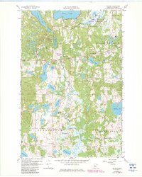
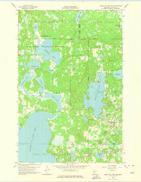
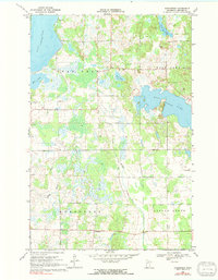
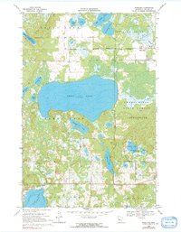
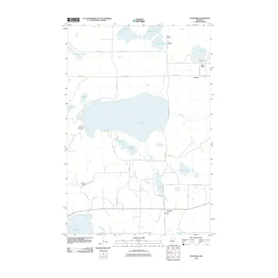
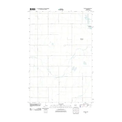
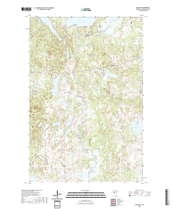
1959 Map of Rochert
USGS Topo · Published 1982About this map
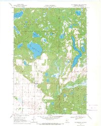
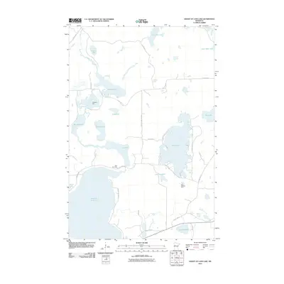
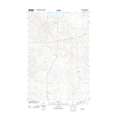
Cotton Lake and the meandering Otter Tail River anchor this topographic survey of Becker County, where the landscape transitions through a dense network of glacial potholes and marshes. The settlement of Rochert sits central to a region defined by its conservation areas, including the Hubbel Pond State Wildlife Management Area and the Pickerel Lake Potholes State Wildlife Management Area. The local social geography of the late 1950s is preserved through the mapping of the Riverside Sch, Chilton Sch, and spiritual centers such as the Pinewood Chapel and Lake Region Ch. The map provides a detailed view of the Height of Land ridge, alongside established family and community landmarks like the Mount Olive Cem and Chilton Cem, illustrating the enduring patterns of rural Minnesota life before modern development altered these shorelines.
Find a feature on this map
35 named features on this map. Tap any name to fly to it.
Don’t see what you’re looking for? This feature index may not catch every label — zoom into the map to look around manually.
Map Details
Editions of this 1959 Rochert Map
3 editions found
Historical Maps of Rochert Through Time
103 maps found

1918 Flom
Becker County, MN
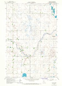
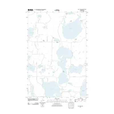
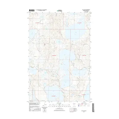
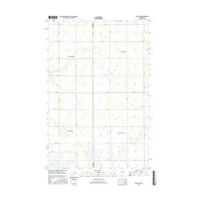
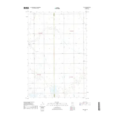
1959 Flat Lake
Becker County, MN
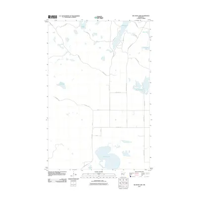
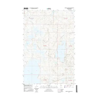
1959 Height Of Land Lake
Becker County, MN
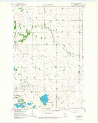
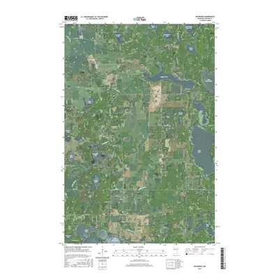
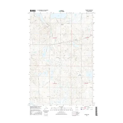
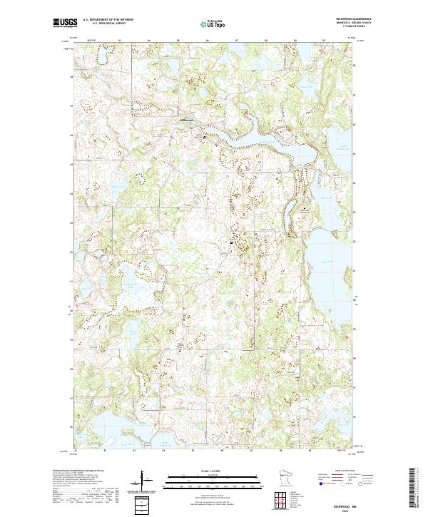
1959 Richwood
Becker County, MN
1959 Rochert
Becker County, MN
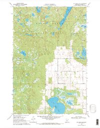
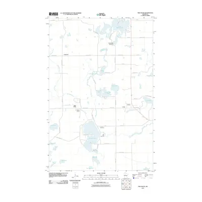
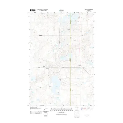
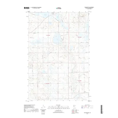
1959 Toad Mountain
Becker County, MN
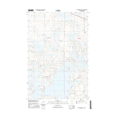
1966 Big Cormorant Lake
Becker County, MN
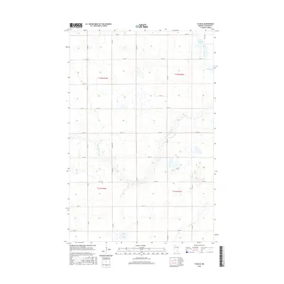
1966 Flom SE
Becker County, MN
1966 Tilde Lake
Becker County, MN
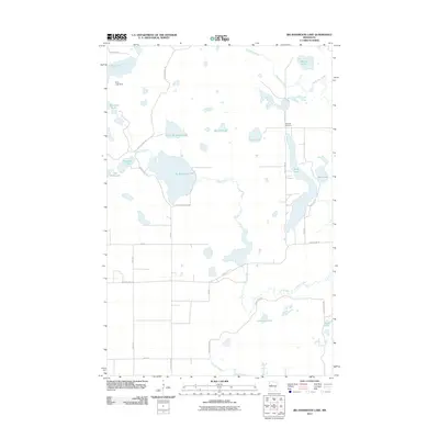
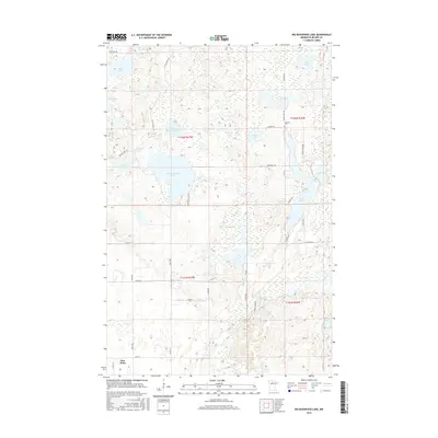
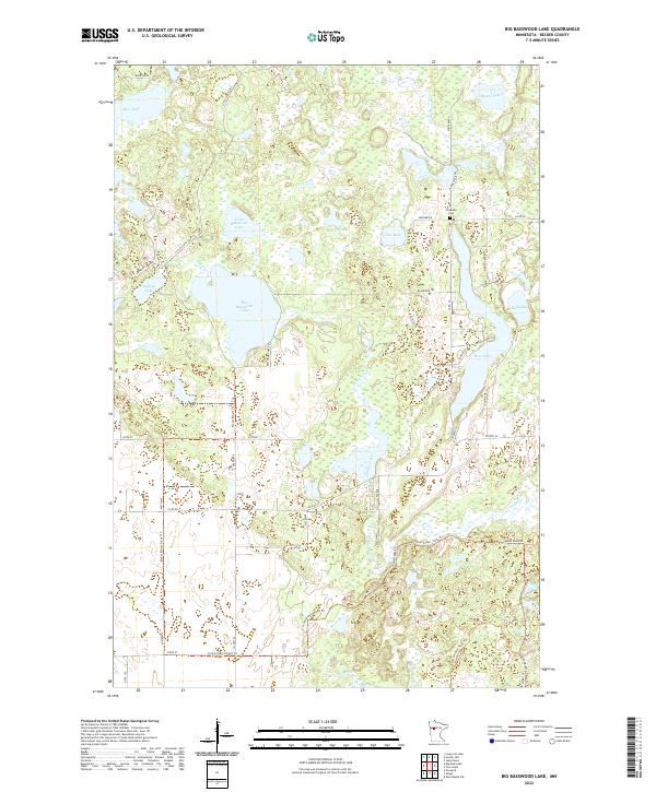
1969 Big Basswood Lake
Becker County, MN
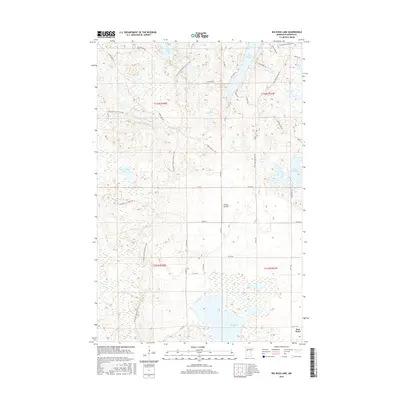
1969 Big Rush Lake
Becker County, MN
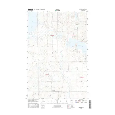
1969 Evergreen
Becker County, MN
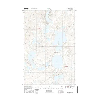
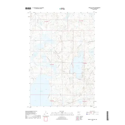
1969 Many Point Lake
Becker County, MN
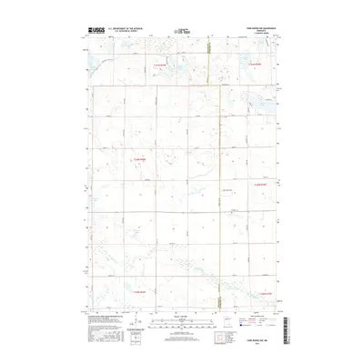
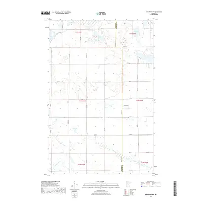
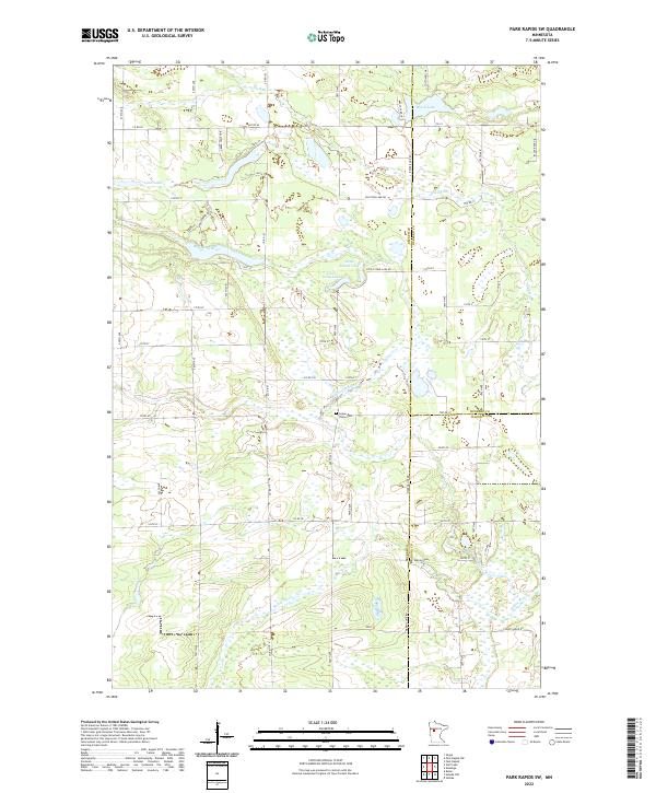
1969 Park Rapids NW
Becker County, MN
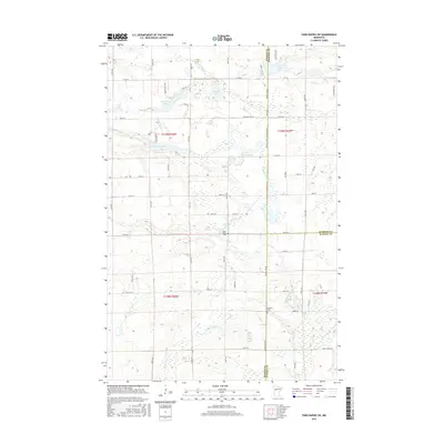
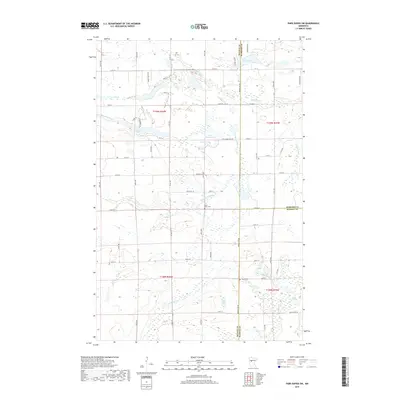
1969 Park Rapids SW
Becker County, MN
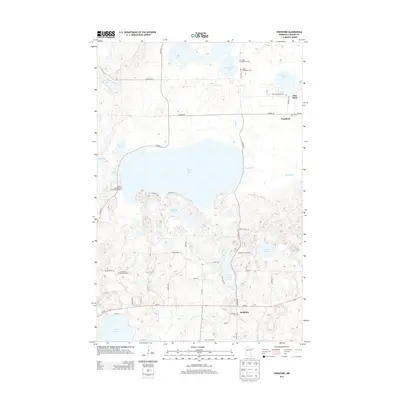
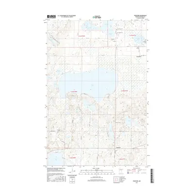
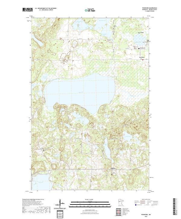
1969 Ponsford
Becker County, MN
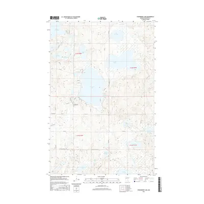
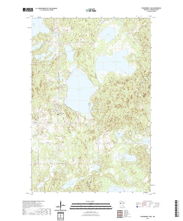
1969 Strawberry Lake
Becker County, MN
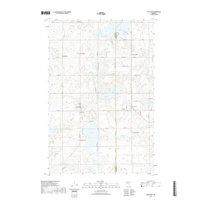
1972 Two Inlets
Becker County, MN
2010 Big Cormorant Lake
Becker County, MN
2010 Evergreen
Becker County, MN
2010 Height of Land Lake
Becker County, MN
2010 Park Rapids NW
Becker County, MN
2010 Park Rapids SW
Becker County, MN
2010 Ponsford
Becker County, MN
2010 Richwood
Becker County, MN
2010 Rochert
Becker County, MN
2010 Toad Mountain
Becker County, MN
2010 Two Inlets
Becker County, MN
2011 Big Basswood Lake
Becker County, MN
2011 Big Rush Lake
Becker County, MN
2011 Flat Lake
Becker County, MN
2011 Flom SE
Becker County, MN
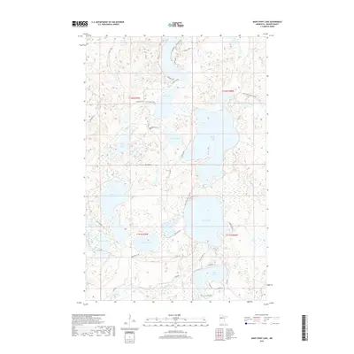
2011 Many Point Lake
Becker County, MN
2011 Strawberry Lake
Becker County, MN
2011 Tilde Lake
Becker County, MN
2013 Big Basswood Lake
Becker County, MN
2013 Big Cormorant Lake
Becker County, MN
2013 Big Rush Lake
Becker County, MN
2013 Evergreen
Becker County, MN
2013 Flat Lake
Becker County, MN
2013 Flom SE
Becker County, MN
2013 Height of Land Lake
Becker County, MN
2013 Many Point Lake
Becker County, MN
2013 Park Rapids NW
Becker County, MN
2013 Park Rapids SW
Becker County, MN
2013 Ponsford
Becker County, MN
2013 Richwood
Becker County, MN
2013 Rochert
Becker County, MN
2013 Strawberry Lake
Becker County, MN
2013 Tilde Lake
Becker County, MN
2013 Toad Mountain
Becker County, MN
2013 Two Inlets
Becker County, MN
2016 Big Basswood Lake
Becker County, MN
2016 Big Cormorant Lake
Becker County, MN
2016 Big Rush Lake
Becker County, MN
2016 Evergreen
Becker County, MN
2016 Flat Lake
Becker County, MN
2016 Flom SE
Becker County, MN
2016 Height of Land Lake
Becker County, MN
2016 Many Point Lake
Becker County, MN
2016 Park Rapids NW
Becker County, MN
2016 Park Rapids SW
Becker County, MN
2016 Ponsford
Becker County, MN
2016 Richwood
Becker County, MN
2016 Rochert
Becker County, MN
2016 Strawberry Lake
Becker County, MN
2016 Tilde Lake
Becker County, MN
2016 Toad Mountain
Becker County, MN
2016 Two Inlets
Becker County, MN
2019 Big Basswood Lake
Becker County, MN
2019 Big Cormorant Lake
Becker County, MN
2019 Big Rush Lake
Becker County, MN
2019 Evergreen
Becker County, MN
2019 Flat Lake
Becker County, MN
2019 Flom SE
Becker County, MN
2019 Height of Land Lake
Becker County, MN
2019 Many Point Lake
Becker County, MN
2019 Park Rapids NW
Becker County, MN
2019 Park Rapids SW
Becker County, MN
2019 Ponsford
Becker County, MN
2019 Richwood
Becker County, MN
2019 Rochert
Becker County, MN
2019 Strawberry Lake
Becker County, MN
2019 Tilde Lake
Becker County, MN
2019 Toad Mountain
Becker County, MN
2019 Two Inlets
Becker County, MN
2022 Big Basswood Lake
Becker County, MN
2022 Big Cormorant Lake
Becker County, MN
2022 Big Rush Lake
Becker County, MN
2022 Evergreen
Becker County, MN
2022 Flat Lake
Becker County, MN
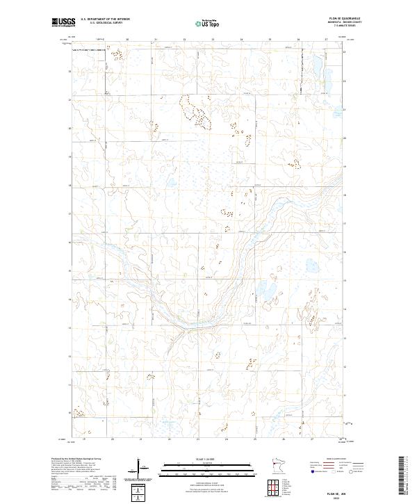
2022 Flom SE
Becker County, MN
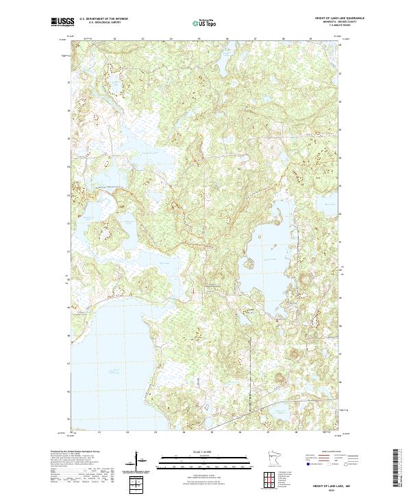
2022 Height of Land Lake
Becker County, MN
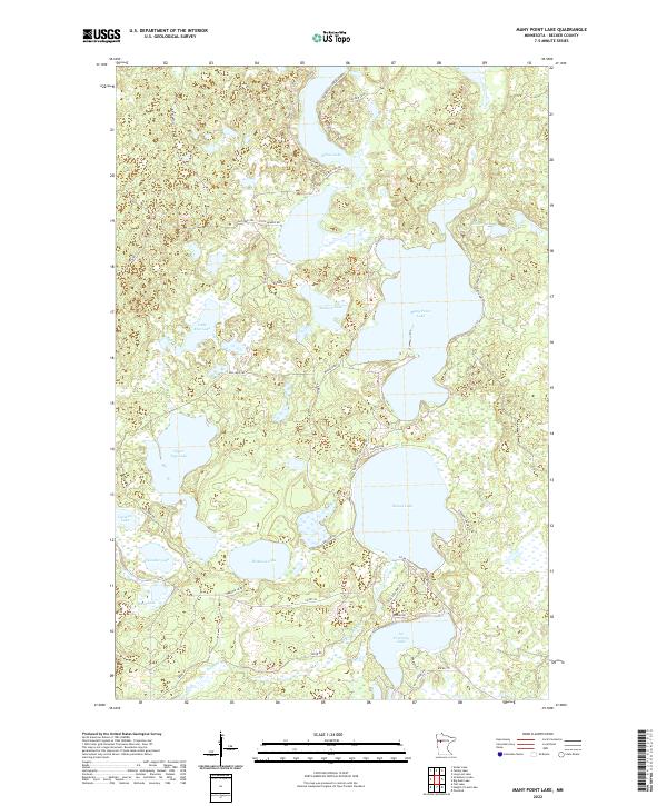
2022 Many Point Lake
Becker County, MN
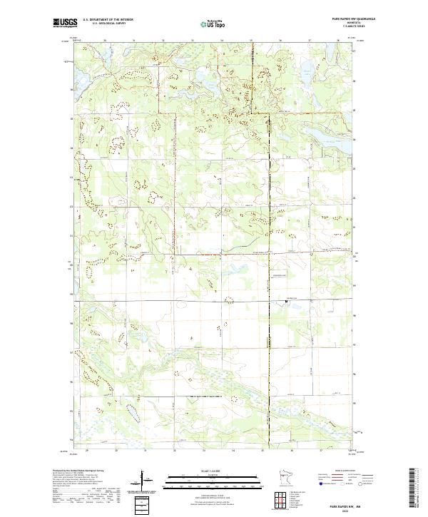
2022 Park Rapids NW
Becker County, MN
2022 Park Rapids SW
Becker County, MN
2022 Ponsford
Becker County, MN
2022 Richwood
Becker County, MN
2022 Rochert
Becker County, MN
2022 Strawberry Lake
Becker County, MN
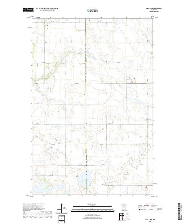
2022 Tilde Lake
Becker County, MN
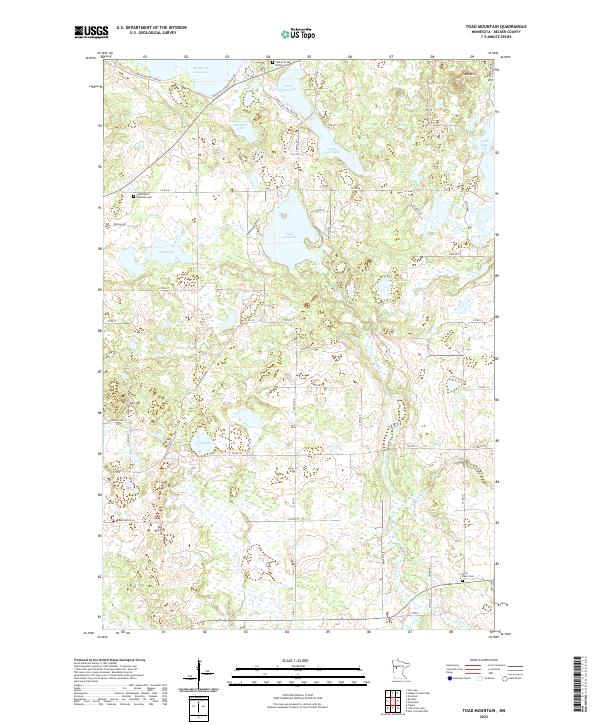
2022 Toad Mountain
Becker County, MN
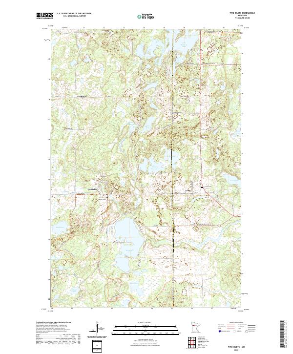
2022 Two Inlets
Becker County, MN