
1969 Map of Big Basswood Lake
USGS Topo · Published 1971About this map
Big Basswood Lake and the long, narrow reach of Boot Lake anchor this 1969 topographic study of the lake country in Becker County. The landscape is defined by the White Earth Indian Reservation Boundary, which bisects the map and separates the western glacial plains from the heavily forested eastern tracts. This eastern region is protected within the White Earth State Forest and Two Inlets State Forest, where drainage networks like Two Inlet Creek and Indian Creek feed into the Straight River. Evidence of local infrastructure is concentrated around the Lakeside Cemetery and the seasonal access provided by Scenic Road and Sockeye Road. South of the reservation line, the terrain shifts toward Pine Point, showing the transition from the lake-dotted highlands to more open marshes and lowlands near Kneebone Lake and Sockeye Lake.
Find a feature on this map
25 named features on this map. Tap any name to fly to it.
Don’t see what you’re looking for? This feature index may not catch every label — zoom into the map to look around manually.
Map Details
Editions of this 1969 Big Basswood Lake Map
This is the sole edition of this map. No revisions or reprints were ever made.
Other maps of this area

1953 · Brainerd
USGS Topo · 1:250,000

1954 · Bemidji
USGS Topo · 1:250,000

1957 · Brainerd
USGS Topo · 1:250,000

1957 · Bemidji
USGS Topo · 1:250,000

1958 · Bemidji
USGS Topo · 1:250,000

1958 · Brainerd
USGS Topo · 1:250,000

1965 · Brainerd
USGS Topo · 1:250,000

1969 · Anchor Hill
USGS Topo · 1:24,000
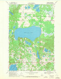
1969 · Ponsford
USGS Topo · 1:24,000
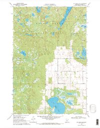
1969 · Big Rush Lake
USGS Topo · 1:24,000