
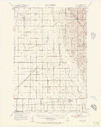
1951 Map of Rothsay
USGS Topo · Published 1953About this map
Rothsay stands at the crossing of the Great Northern railroad in the northeastern corner of this 1951 survey, serving as a primary hub for the surrounding agricultural townships. The landscape is defined by its rectilinear section lines and a dense network of early rural education, featuring numerous numbered schoolhouses such as School No 7 and School No 61. To the south, the Northern Pacific line connects the settlements of Everdell and Foxhome, providing vital rail access for grain and livestock transport.
Find a feature on this map
42 named features on this map. Tap any name to fly to it.
Don’t see what you’re looking for? This feature index may not catch every label — zoom into the map to look around manually.
Map Details
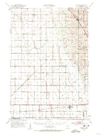
Editions of this 1951 Rothsay Map
3 editions found
Other maps of this area

1895 · Fargo
USGS Topo · 1:125,000

1897 · Fargo
USGS Topo · 1:125,000

1904 · Wahpeton
USGS Topo · 1:125,000

1910 · Wendell
USGS Topo · 1:62,500

1913 · Fergus Falls
USGS Topo · 1:62,500

1913 · Wendell
USGS Topo · 1:62,500

1914 · Pelican Rapids
USGS Topo · 1:62,500

1917 · Pelican Rapids
USGS Topo · 1:62,500

1919 · Rothsay
USGS Topo · 1:62,500

1919 · Barnesville
USGS Topo · 1:62,500