Old Maps of Alexandria, Minnesota
Explore 28 old maps of Alexandria, spanning from 1953 to today. These high-resolution historic maps reveal how streets, neighborhoods, landmarks, and natural features evolved over time — perfect for genealogy, metal detecting, research, and local history exploration.
What you can do with these maps:
- See how Alexandria changed over time: Compare historical maps to modern-day views to trace roads, homesites, rail lines & more.
- View detailed metadata: Each map includes creators, publishers, year, scale, and archive source.
- Overlay maps with satellite & LiDAR: Visualize the past alongside modern tools to explore terrain & human change.
- Trusted historical sources: Maps sourced from the USGS, Library of Congress, and other archives.
- Access maps your way: View online, download high-res files, or order prints for personal or research use.
Start exploring old maps of Alexandria to uncover forgotten places, hidden landmarks, and the deep history beneath your feet.
Alexandria, MN maps
(28)- 1953 Map of Saint Cloud, 1968 Print
 1953 Saint Cloud1968 Print · USGSCentral Minnesota's lake country and the Mississippi River valley are caught in a period of steady mid-century growth. Researchers can trace historic rail lines, old granite works, and local landmarks like St. Johns University, Camp Ripley, and the shores of Lake Minnewaska.3 unique versions available
 - 1957 Map of Saint Cloud
 1957 Saint Cloud1957 Print · USGSCentral Minnesota's lake country and rail corridors are meticulously detailed in the mid-1950s. Genealogists and researchers can trace the growth of towns like Alexandria, Willmar, and Saint Cloud along the Great Northern railroad line.
 - 1958 Map of Saint Cloud
 1958 Saint Cloud1958 Print · USGSCentral Minnesota in the mid-1950s shows a landscape of growing regional hubs and hundreds of glacial lakes connected by an extensive rail network. Genealogists and historians can trace the early footprints of Saint Cloud, Alexandria, and Willmar along the Great Northern Railway.
 - 1966 Map of Alexandria West, 1967 Print
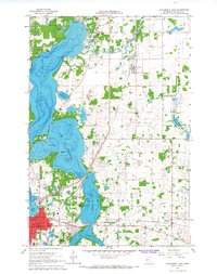
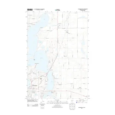
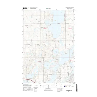
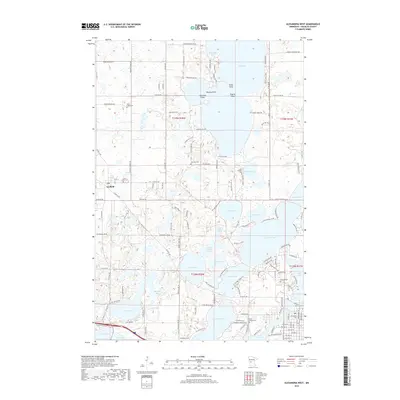
 1966 Alexandria West1967 Print · USGSThe lake country of Douglas County is captured in the mid-sixties as the rural landscape around Alexandria began to modernize. Genealogists and local historians can trace family locations near St Lukes Cem, the old Glendale Sch, and the village of Garfield.2 unique versions available
 - 1966 Map of Lake Mary, 1968 Print
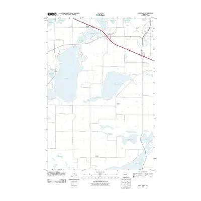
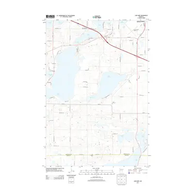
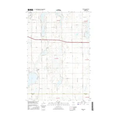
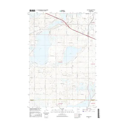
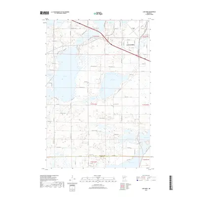
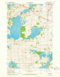 1966 Lake Mary1968 Print · USGSDouglas County’s lake country is captured here during the mid-1960s, showing the intersection of rural agriculture and expanding infrastructure. Researchers can locate several historic district schools like Oak Grove Sch and ancestral sites including Bohemian Cem.3 unique versions available
 - 1966 Map of Alexandria East, 1968 Print
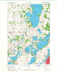
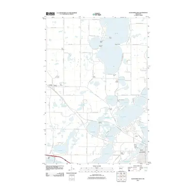
 1966 Alexandria East1968 Print · USGSDouglas County's lake country is captured in the mid-sixties, showing the growth of Alexandria and nearby Nelson. Researchers can trace family history through sites like Carlos Cem, Washington Sch, and early lakeside retreats such as Mount Carmel Camp.4 unique versions available
 - 1966 Map of Forada, 1968 Print
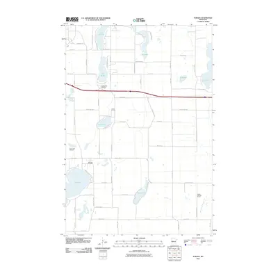
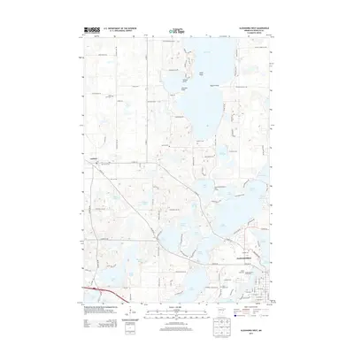
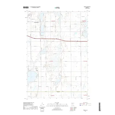
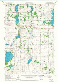 1966 Forada1968 Print · USGSCentral Minnesota lake country is captured here in the mid-sixties, showing the growth of Forada and Alexandria. Researchers can trace old school districts like Sunnyside Sch and find family-named landmarks such as Hudson Cem or Hazel Hill.3 unique versions available
 - 1986 Map of Lake Minnewaska
 1986 Lake Minnewaska1986 Print · USGSWest-central Minnesota's lake country is captured here in the mid-eighties, showing a landscape of intense glacial activity and growing regional hubs. Genealogists and researchers can trace the rail lines of the Soo Line and Burlington Northern through towns like Glenwood, Starbuck, and Osakis.2 unique versions available
 - 2010 Map of Alexandria East, 2010 Print
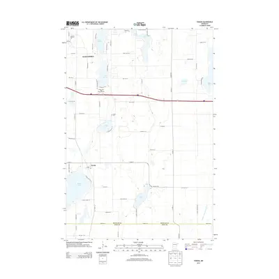
 2010 Alexandria East2010 Print · USGSCovers Alexandria, including Carlos, Nelson, and other nearby areas
 - 2010 Map of Lake Mary, 2010 Print
 2010 Lake Mary2010 Print · USGSCovers Alexandria, including Mobile Park Estates, Douglas County, and other nearby areas
 - 2010 Map of Alexandria West, 2010 Print
 2010 Alexandria West2010 Print · USGSCovers Alexandria, including Garfield, Woodlawn Mobile Home Court, and other nearby areas
 - 2010 Map of Forada, 2010 Print
 2010 Forada2010 Print · USGSCovers Alexandria, including Forada, Douglas County, and other nearby areas
 - 2013 Map of Forada, 2013 Print
 2013 Forada2013 Print · USGSCovers Alexandria, including Forada, Douglas County, and other nearby areas
 - 2013 Map of Alexandria East, 2013 Print
 2013 Alexandria East2013 Print · USGSCovers Alexandria, including Carlos, Nelson, and other nearby areas
 - 2013 Map of Lake Mary, 2013 Print
 2013 Lake Mary2013 Print · USGSCovers Alexandria, including Mobile Park Estates, Douglas County, and other nearby areas
 - 2013 Map of Alexandria West, 2013 Print
 2013 Alexandria West2013 Print · USGSCovers Alexandria, including Garfield, Woodlawn Mobile Home Court, and other nearby areas
 - 2016 Map of Forada, 2016 Print
 2016 Forada2016 Print · USGSCovers Alexandria, including Forada, Douglas County, and other nearby areas
 - 2016 Map of Alexandria East, 2016 Print
 2016 Alexandria East2016 Print · USGSCovers Alexandria, including Carlos, Nelson, and other nearby areas
 - 2016 Map of Alexandria West, 2016 Print
 2016 Alexandria West2016 Print · USGSCovers Alexandria, including Garfield, Woodlawn Mobile Home Court, and other nearby areas
 - 2016 Map of Lake Mary, 2016 Print
 2016 Lake Mary2016 Print · USGSCovers Alexandria, including Mobile Park Estates, Douglas County, and other nearby areas
 - 2019 Map of Alexandria East, 2019 Print
 2019 Alexandria East2019 Print · USGSCovers Alexandria, including Carlos, Nelson, and other nearby areas
 - 2019 Map of Lake Mary, 2019 Print
 2019 Lake Mary2019 Print · USGSCovers Alexandria, including Mobile Park Estates, Douglas County, and other nearby areas
 - 2019 Map of Forada, 2019 Print
 2019 Forada2019 Print · USGSCovers Alexandria, including Forada, Douglas County, and other nearby areas
 - 2019 Map of Alexandria West, 2019 Print
 2019 Alexandria West2019 Print · USGSCovers Alexandria, including Garfield, Woodlawn Mobile Home Court, and other nearby areas
 - 2022 Map of Alexandria West, 2022 Print
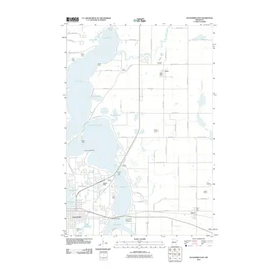
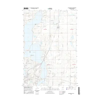
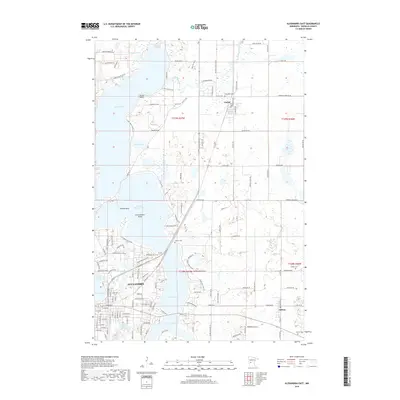
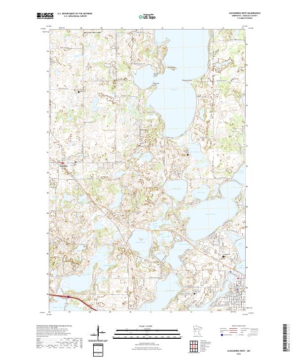 2022 Alexandria West2022 Print · USGSDouglas County is shown here in the 2020s as a densely settled lakeland community west of the regional hub. Researchers can locate family burial sites at Saint Marys Cem and Lake Ida Cem or trace the early footprint of Garfield.
Showing maps 1-25 of 28
Top cities near Alexandria
- Glenwood historical maps
- Osakis historical maps
- Holmes City historical maps
- Leaf Valley historical maps
- Belle River historical maps
- Brandon historical maps
See more
Top neighborhoods of Alexandria
- Hustad Mobile Home Park historical maps
- Olson's Mobile Home Park historical maps
- Hiview Park historical maps
- Mobile Park Estates historical maps
Frequently asked questions
- What are the different types of historical maps available for Alexandria?
- What is the oldest map of Alexandria?
- Where can I purchase historical maps of Alexandria for my home or office?
- Where can I download high-res historical maps of Alexandria?
- Are there historical topographic maps available for Alexandria?
- Is there historical aerial imagery available for Alexandria?
- Where are historical maps of Alexandria sourced from?