
1957 Map of Saint Cloud
USGS Topo · Published 1957About this map
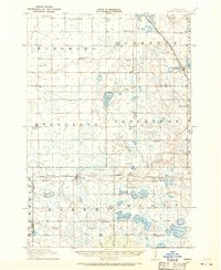
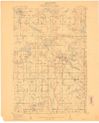
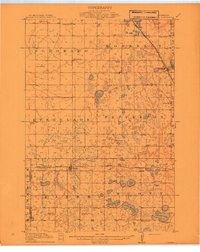
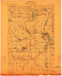
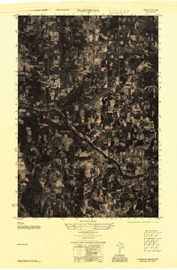
Central Minnesota agriculture and industry meet at the Mississippi River in the mid-1950s. This Army Map Service compilation highlights the dense concentration of lake-country settlements like Alexandria and Glenwood, which are interconnected by the Great Northern and Northern Pacific railroads. The landscape is defined by its glacial hydrology, featuring significant water bodies such as Lake Minnewaska, Lake Osakis, and the deep Green Lake near Willmar. In the east, the regional hub of Saint Cloud sits at the confluence of the Mississippi and Sauk River, marked by industrial activity including a local Quarry. Further north, Sartell Swamp provides a contrast to the surrounding grid of section lines and towns. The map documents the primary transportation corridors of the era, including U.S. 52 and U.S. 12, which facilitated the movement of goods and people across the prairie and lake regions during this post-war period of growth.
Find a feature on this map
94 named features on this map. Tap any name to fly to it.
Don’t see what you’re looking for? This feature index may not catch every label — zoom into the map to look around manually.
Map Details
Editions of this 1957 Saint Cloud Map
This is the sole edition of this map. No revisions or reprints were ever made.
Other maps of this area

1910 · Wendell
USGS Topo · 1:62,500
1910 · Chokio
USGS Topo · 1:62,500
1911 · Barrett
USGS Topo · 1:62,500

1911 · Herman
USGS Topo · 1:62,500
1912 · Chokio
USGS Topo · 1:62,500
1912 · Morris
USGS Topo · 1:62,500

1913 · Ashby
USGS Topo · 1:62,500

1913 · Wendell
USGS Topo · 1:62,500
1947 · Flensburg
USGS Topo · 1:25,000

1948 · Belle Prairie
USGS Topo · 1:62,500