Old Maps of Bruce, Mississippi
Explore 24 old maps of Bruce, spanning from 1953 to today. These high-resolution historic maps reveal how streets, neighborhoods, landmarks, and natural features evolved over time — perfect for genealogy, metal detecting, research, and local history exploration.
What you can do with these maps:
- See how Bruce changed over time: Compare historical maps to modern-day views to trace roads, homesites, rail lines & more.
- View detailed metadata: Each map includes creators, publishers, year, scale, and archive source.
- Overlay maps with satellite & LiDAR: Visualize the past alongside modern tools to explore terrain & human change.
- Trusted historical sources: Maps sourced from the USGS, Library of Congress, and other archives.
- Access maps your way: View online, download high-res files, or order prints for personal or research use.
Start exploring old maps of Bruce to uncover forgotten places, hidden landmarks, and the deep history beneath your feet.
Bruce, MS maps
(24)- 1953 Map of West Point, 1973 Print
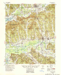
 1953 West Point1973 Print · USGSNorth-Central Mississippi and the Alabama borderlands are captured here during the mid-twentieth century as new reservoirs and national forests transformed the landscape. Researchers can trace the path of the Mississippi & Skuna Valley railroad or locate old landings along the Tombigbee River and Schooner Creek.3 unique versions available
 - 1954 Map of Pittsboro
 1954 Pittsboro1954 Print · USGSCalhoun County's river valleys and timberlands are captured here in the mid-fifties as the Grenada Reservoir took shape. Genealogists can locate family landmarks such as Zion Springs Ch & Cem, Worford Ch & Sch, and the Mississippi & Skuna Valley RR.3 unique versions available
 - 1956 Map of Tupelo, 1967 Print
 1956 Tupelo1967 Print · USGSNortheast Mississippi and parts of Tennessee and Alabama are shown here during the mid-fifties, a time of major reservoir construction and forestry management. Researchers can trace the St Louis-San Francisco RR through Tupelo or locate historic sites like Tishomingo State Park and the University.2 unique versions available
 - 1958 Map of Tupelo
 1958 Tupelo1958 Print · USGSNortheast Mississippi and neighboring Alabama and Tennessee appear here during the late fifties as a region defined by new reservoirs and historic rail lines. Genealogists can trace family locations near Sardis Lake, Woodall Mountain, and the St Louis-San Francisco Ry.
 - 1958 Map of West Point
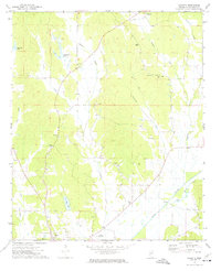
 1958 West Point1958 Print · USGSNortheastern Mississippi and western Alabama are shown in the late 1950s, highlighting a region defined by its river-and-rail economy. Researchers can trace family roots through numerous settlements like Artesia and Vardaman or explore the corridor of the Tombigbee River.
 - 1963 Map of West Point
 1963 West Point1963 Print · USGSEastern Mississippi and western Alabama are captured in the early sixties as industrial centers and rail lines connected the Black Prairie to the hills. Genealogists and historians can trace family-named watercourses and the early footprints of Starkville, Columbus, and the Noxubee National Wildlife Refuge.2 unique versions available
 - 1972 Map of Sarepta, 1974 Print
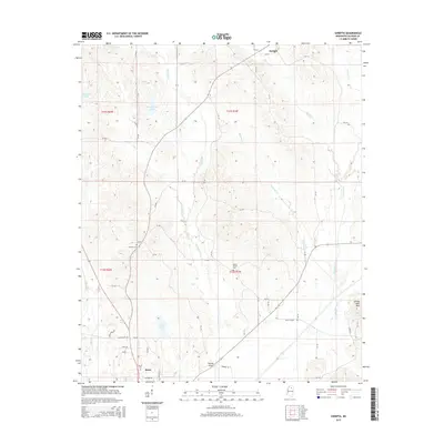
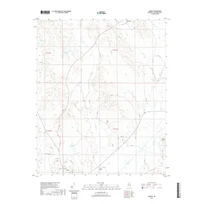
 1972 Sarepta1974 Print · USGSCalhoun County's rural landscape is captured here in the early 1970s, showing a region defined by the Skuna River and its many tributaries. Researchers can locate numerous local landmarks including Lantrip Ch, Duff Chapel, and the Hastings Landing Strip.
 - 1976 Map of Pittsboro NE, 1977 Print
 1976 Pittsboro NE1977 Print · USGSNorthern Calhoun County comes into focus in the mid-1970s, showing the intersection of agricultural land and managed timber. Researchers can trace the developed streets of Bruce and the path of the Skuna River Canal through the valley.
 - 1983 Map of Bruce, 1984 Print
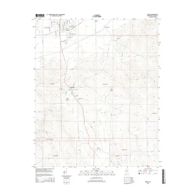
 1983 Bruce1984 Print · USGSThe Skuna River valley and the southern reaches of Bruce define this area in the early eighties. Genealogists and historians can trace local landmarks like Calhoun Academy, Bridges Chapel, and the Mississippi and Skuna Valley railroad.
 - 1984 Map of West Point
 1984 West Point1984 Print · USGSNorth-Central Mississippi in the mid-eighties shows a landscape defined by massive water management projects and dense timberlands. Researchers can trace the legacy of rural settlements like Geeslin Corner or the rail corridors of the Illinois Central Gulf RR near Grenada Lake.3 unique versions available
 - 1984 Map of Tupelo
 1984 Tupelo1984 Print · USGSNorth Mississippi in the 1980s is defined by its massive river basin reservoirs and the growing regional hubs of Tupelo and Oxford. Researchers can trace the legacy of the Pontotoc Ridge, find the University of Mississippi, and map early Interstate corridors near Sardis Lake.3 unique versions available
 - 1984 Map of Oxford, 1985 Print
 1984 Oxford1985 Print · USGSOxford and its surrounding hill country are captured in the mid-eighties as university life and rural industry intersected. Genealogists and historians can trace rail lines like the ST LOUIS-SAN FRANCISCO RY and locate old rural centers such as College Hill Sta and Lafayette Springs.
 - 1984 Map of Grenada, 1990 Print
 1984 Grenada1990 Print · USGSNorth Central Mississippi’s river valleys and conservation lands are captured here in the mid-1980s. Researchers can trace the sprawling Camp Mc Cain, the Illinois Central Gulf rail line, and the historic Treaty Boundary.
 - 1990 Map of Oxford, 1991 Print
 1990 Oxford1991 Print · USGSNorth Mississippi at the start of the nineties centers on the university town of Oxford and the large reservoirs of the Tallahatchie River valley. Researchers can trace the Illinois Central Gulf RR through towns like Water Valley and locate landmarks such as College Hill Sta.
 - 2012 Map of Sarepta, 2012 Print
 2012 Sarepta2012 Print · USGSCovers Bruce, including Sarepta, Calhoun County, and other nearby areas
 - 2012 Map of Bruce, 2012 Print
 2012 Bruce2012 Print · USGSCovers Bruce, including Pittsboro, Calhoun County, and other nearby areas
 - 2015 Map of Sarepta, 2015 Print
 2015 Sarepta2015 Print · USGSCovers Bruce, including Sarepta, Calhoun County, and other nearby areas
 - 2015 Map of Bruce, 2015 Print
 2015 Bruce2015 Print · USGSCovers Bruce, including Pittsboro, Calhoun County, and other nearby areas
 - 2018 Map of Sarepta, 2018 Print
 2018 Sarepta2018 Print · USGSCovers Bruce, including Sarepta, Calhoun County, and other nearby areas
 - 2018 Map of Bruce, 2018 Print
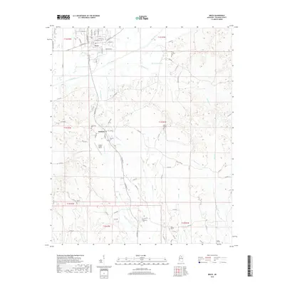 2018 Bruce2018 Print · USGSCovers Bruce, including Pittsboro, Calhoun County, and other nearby areas
 - 2020 Map of Bruce, 2020 Print
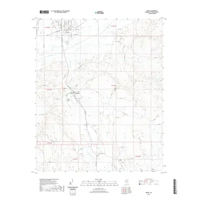 2020 Bruce2020 Print · USGSCovers Bruce, including Pittsboro, Calhoun County, and other nearby areas
 - 2021 Map of Sarepta, 2021 Print
 2021 Sarepta2021 Print · USGSCovers Bruce, including Sarepta, Calhoun County, and other nearby areas
 - 2024 Map of Sarepta, 2024 Print
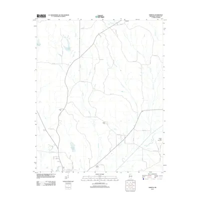
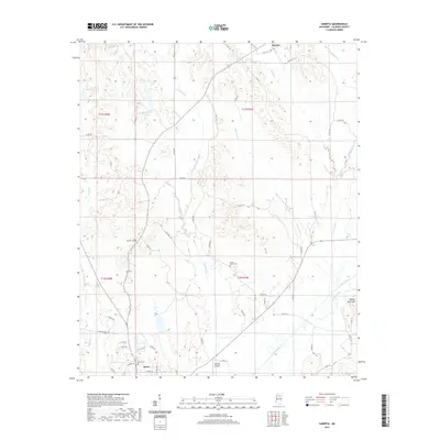
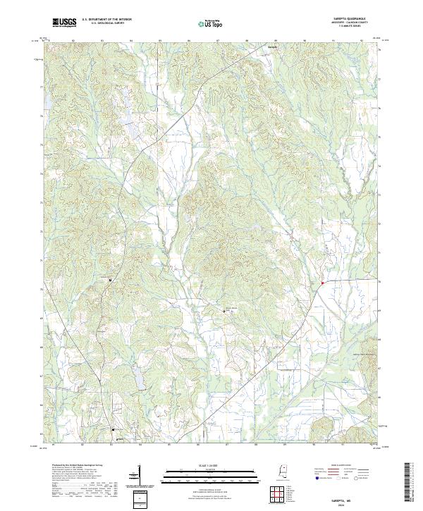 2024 Sarepta2024 Print · USGSCalhoun County's rural interior is documented here in 2024, showing the corridor between the northern heights and the southern river flats. Genealogists and historians can trace family locations near Antioch Cem, Johnny Main Mountain, and the historic settlement of Sarepta.
 - 2024 Map of Bruce, 2024 Print
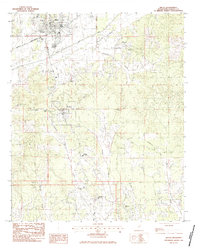
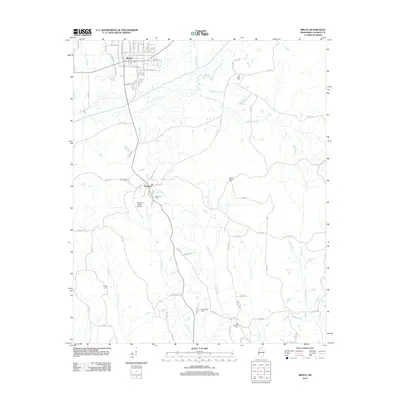
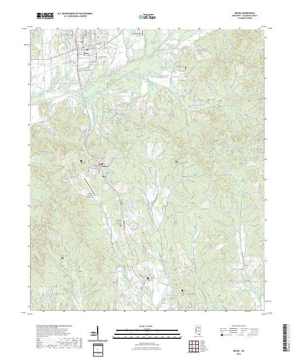 2024 Bruce2024 Print · USGSCalhoun County's civic and rural landscapes are documented here in recent years, centered on the historic seat at Pittsboro. Local researchers can trace family sites across numerous burial grounds including Old Town Cem, Gaston Springs Cem, and Gauley Cem.
End of results
Showing maps 1-24 of 24
Top cities near Bruce
- Calhoun City historical maps
- Derma historical maps
- Vardaman historical maps
- Pittsboro historical maps
- Big Creek historical maps
Frequently asked questions
- What are the different types of historical maps available for Bruce?
- What is the oldest map of Bruce?
- Where can I purchase historical maps of Bruce for my home or office?
- Where can I download high-res historical maps of Bruce?
- Are there historical topographic maps available for Bruce?
- Is there historical aerial imagery available for Bruce?
- Where are historical maps of Bruce sourced from?