Old Maps of Eastover, Olive Branch for Metal Detecting
Plan your next treasure hunt with 11 historic maps of Eastover. Find old homesites, ghost towns, trails, and gathering spots that may be lost to time — perfect for identifying promising metal detecting locations.
- Locate forgotten sites: Uncover places like long-lost settlements, abandoned rail lines, or gathering spots.
- Plan better hunts: Use map overlays combined with LiDAR or satellite views to narrow in on historically rich areas.
- Made for detectorists: Thousands of hobbyists use these maps to discover relics, coins, and hidden history.
Use these historic maps to boost your research and find new opportunities beneath the surface of Eastover.
Eastover, Olive Branch maps
(11)- 1944 Map of Hernando, 1946 Print
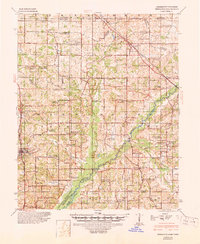 1944 Hernando1946 Print · USGSDeSoto County communities and the rising waters of the Arkabutla Reservoir are documented here in the mid-1940s. Genealogists can locate family landmarks like Betts Sch Ch & Cemetery, the Drain Family Cem, and old schools in Cockrum or Lewisburg.3 unique versions available
 - 1956 Map of Tupelo, 1967 Print
 1956 Tupelo1967 Print · USGSNortheast Mississippi and parts of Tennessee and Alabama are shown here during the mid-fifties, a time of major reservoir construction and forestry management. Researchers can trace the St Louis-San Francisco RR through Tupelo or locate historic sites like Tishomingo State Park and the University.2 unique versions available
 - 1958 Map of Tupelo
 1958 Tupelo1958 Print · USGSNortheast Mississippi and neighboring Alabama and Tennessee appear here during the late fifties as a region defined by new reservoirs and historic rail lines. Genealogists can trace family locations near Sardis Lake, Woodall Mountain, and the St Louis-San Francisco Ry.
 - 1982 Map of Olive Branch
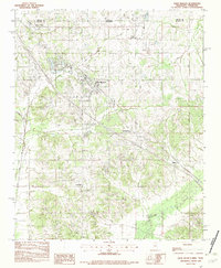 1982 Olive Branch1982 Print · USGSDe Soto County, Mississippi, sits just below the Tennessee line in the early eighties as the area begins a transition toward growth. Genealogists and researchers can trace the roads connecting Olive Branch to smaller settlements like Miller and Fairhaven near the Goldwater River.
 - 1984 Map of Tupelo
 1984 Tupelo1984 Print · USGSNorth Mississippi in the 1980s is defined by its massive river basin reservoirs and the growing regional hubs of Tupelo and Oxford. Researchers can trace the legacy of the Pontotoc Ridge, find the University of Mississippi, and map early Interstate corridors near Sardis Lake.3 unique versions available
 - 2010 Map of Olive Branch, 2010 Print
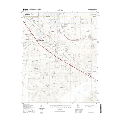
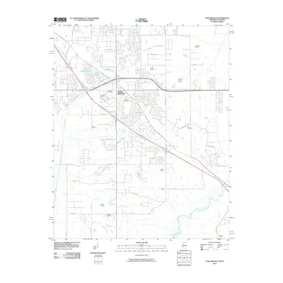 2010 Olive Branch2010 Print · USGSCovers Eastover, including Memphis, Olive Branch, and other nearby areas
 - 2012 Map of Olive Branch, 2012 Print
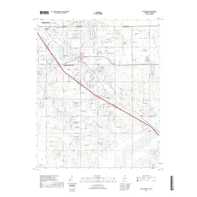
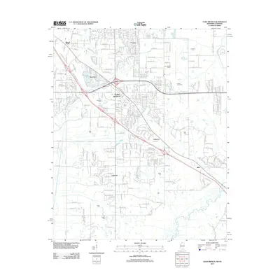 2012 Olive Branch2012 Print · USGSCovers Eastover, including Memphis, Olive Branch, and other nearby areas
 - 2015 Map of Olive Branch, 2015 Print
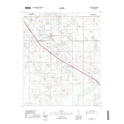
 2015 Olive Branch2015 Print · USGSCovers Eastover, including Memphis, Olive Branch, and other nearby areas
 - 2018 Map of Olive Branch, 2018 Print
 2018 Olive Branch2018 Print · USGSCovers Eastover, including Memphis, Olive Branch, and other nearby areas
 - 2021 Map of Olive Branch, 2021 Print
 2021 Olive Branch2021 Print · USGSCovers Eastover, including Memphis, Olive Branch, and other nearby areas
 - 2024 Map of Olive Branch, 2024 Print
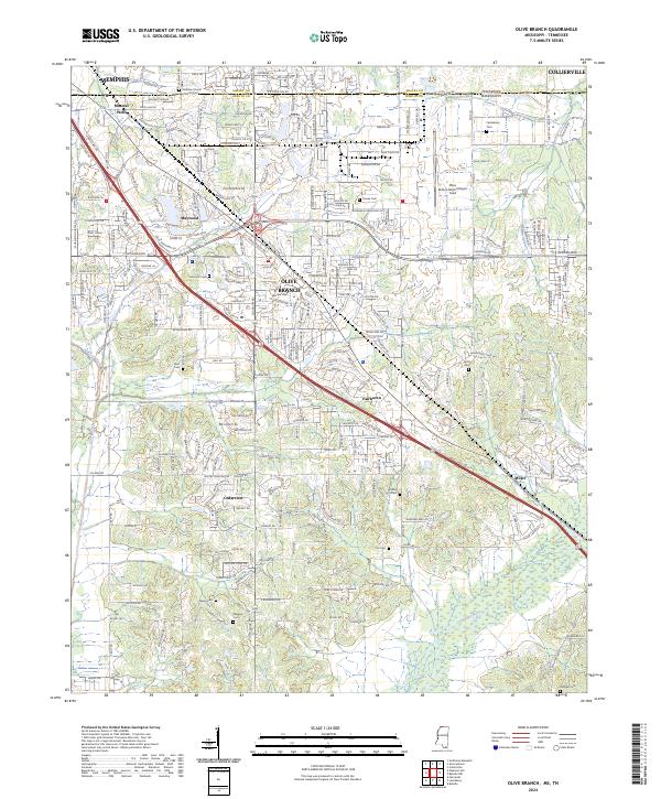 2024 Olive Branch2024 Print · USGSDeSoto County and the Tennessee state line are shown during a period of significant suburban expansion south of Memphis. Genealogists can trace family connections at numerous burial grounds like Blocker Cem and Bass Cem or locate the Stateline Church of Christ.
End of results
Showing maps 1-11 of 11
Frequently asked questions
- What are the different types of historical maps available for Eastover?
- What is the oldest map of Eastover?
- Where can I purchase historical maps of Eastover for my home or office?
- Where can I download high-res historical maps of Eastover?
- Are there historical topographic maps available for Eastover?
- Is there historical aerial imagery available for Eastover?
- Where are historical maps of Eastover sourced from?