2000s (21st Century) Maps of Town of Walls, Walls
Explore 6 historic maps of Town of Walls from the 2000s (21st Century). These maps offer a rare glimpse into what life looked like during the 2000s — showing old roads, neighborhoods, homes, and landmarks that have changed or disappeared over time.
Whether you're researching your family's past, planning a metal detecting trip, or studying how Town of Walls's landscape evolved across the 2000s, these high-resolution maps are a powerful tool for exploring the history of this region.
- Focus on a specific era: All maps on this page are from the 2000s, giving you a focused view of this time period.
- See what’s changed: Compare century-old streets, trails, and buildings to today's modern landscape using overlays and satellite layers.
- Research with precision: Use these maps for genealogy, historical research, land use analysis, or educational projects.
- View, download, or print: Maps are fully viewable online in high resolution, and can be downloaded or printed for your own records.
Start exploring Town of Walls's history through authentic maps from the 2000s. This is your window into the past.
Town of Walls, Walls maps
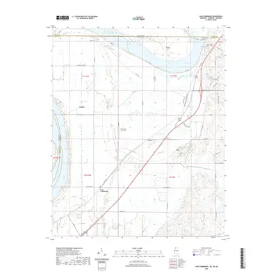
(6)- 2011 Map of Lake Cormorant, 2011 Print
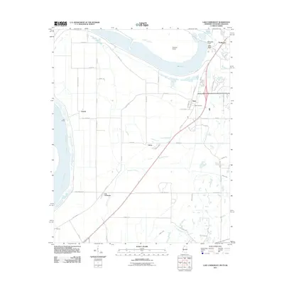 2011 Lake Cormorant2011 Print · USGSCovers Town of Walls, including Memphis, Walls, and other nearby areas
 - 2012 Map of Lake Cormorant, 2012 Print
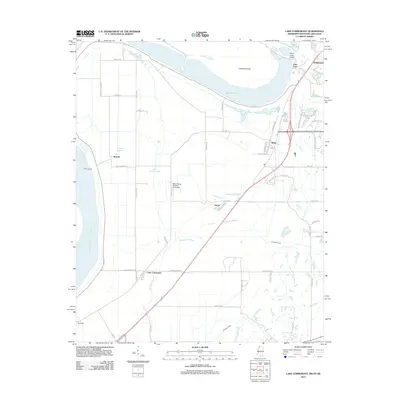 2012 Lake Cormorant2012 Print · USGSCovers Town of Walls, including Memphis, Walls, and other nearby areas
 - 2015 Map of Lake Cormorant, 2015 Print
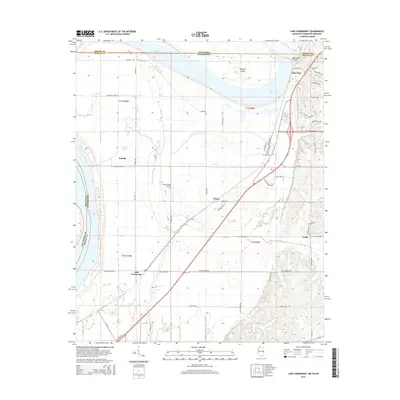 2015 Lake Cormorant2015 Print · USGSCovers Town of Walls, including Memphis, Walls, and other nearby areas
 - 2018 Map of Lake Cormorant, 2018 Print
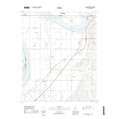 2018 Lake Cormorant2018 Print · USGSCovers Town of Walls, including Memphis, Walls, and other nearby areas
 - 2020 Map of Lake Cormorant, 2020 Print
 2020 Lake Cormorant2020 Print · USGSCovers Town of Walls, including Memphis, Walls, and other nearby areas
 - 2024 Map of Lake Cormorant, 2024 Print
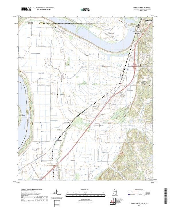 2024 Lake Cormorant2024 Print · USGSNorthwest Mississippi meets the Tennessee border in the 2020s, showing a landscape of river sloughs and expanding residential corridors. Genealogists can locate family sites like Armistead Cem and Norfolk Baptist Church Cem near Glover and Walls.
End of results
Showing maps 1-6 of 6
Top cities near Town of Walls
- Memphis historical maps
- Southaven historical maps
- Olive Branch historical maps
- Horn Lake historical maps
- West Memphis historical maps
- Hernando historical maps
See more
Frequently asked questions
- What are the different types of historical maps available for Town of Walls?
- What is the oldest map of Town of Walls?
- Where can I purchase historical maps of Town of Walls for my home or office?
- Where can I download high-res historical maps of Town of Walls?
- Are there historical topographic maps available for Town of Walls?
- Is there historical aerial imagery available for Town of Walls?
- Where are historical maps of Town of Walls sourced from?