Old Maps of Grenada, Mississippi
Explore 25 old maps of Grenada, spanning from 1953 to today. These high-resolution historic maps reveal how streets, neighborhoods, landmarks, and natural features evolved over time — perfect for genealogy, metal detecting, research, and local history exploration.
What you can do with these maps:
- See how Grenada changed over time: Compare historical maps to modern-day views to trace roads, homesites, rail lines & more.
- View detailed metadata: Each map includes creators, publishers, year, scale, and archive source.
- Overlay maps with satellite & LiDAR: Visualize the past alongside modern tools to explore terrain & human change.
- Trusted historical sources: Maps sourced from the USGS, Library of Congress, and other archives.
- Access maps your way: View online, download high-res files, or order prints for personal or research use.
Start exploring old maps of Grenada to uncover forgotten places, hidden landmarks, and the deep history beneath your feet.
Grenada, MS maps
(25)- 1953 Map of West Point, 1973 Print
 1953 West Point1973 Print · USGSNorth-Central Mississippi and the Alabama borderlands are captured here during the mid-twentieth century as new reservoirs and national forests transformed the landscape. Researchers can trace the path of the Mississippi & Skuna Valley railroad or locate old landings along the Tombigbee River and Schooner Creek.3 unique versions available
 - 1954 Map of Grenada
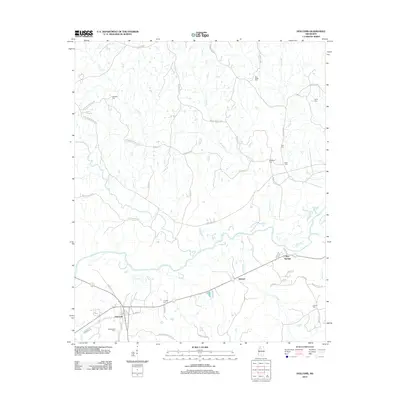
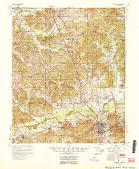 1954 Grenada1954 Print · USGSGrenada and the surrounding hills are captured here just as the river valley was transformed by the reservoir. Genealogists can locate family sites like Preston Sch & Ch, Barksdale Cem, and the railroad community of Dubard.2 unique versions available
 - 1954 Map of McCarley
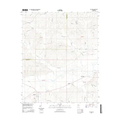
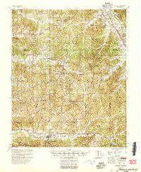 1954 McCarley1954 Print · USGSCarroll County and the surrounding hill country are captured here in the mid-fifties, showing a dense network of rural churches and family cemeteries. Researchers can trace the Illinois Central rail line through Glenwild or locate sites like Camp McCain and Pink Flower Ch & Cem.
 - 1958 Map of West Point
 1958 West Point1958 Print · USGSNortheastern Mississippi and western Alabama are shown in the late 1950s, highlighting a region defined by its river-and-rail economy. Researchers can trace family roots through numerous settlements like Artesia and Vardaman or explore the corridor of the Tombigbee River.
 - 1963 Map of West Point
 1963 West Point1963 Print · USGSEastern Mississippi and western Alabama are captured in the early sixties as industrial centers and rail lines connected the Black Prairie to the hills. Genealogists and historians can trace family-named watercourses and the early footprints of Starkville, Columbus, and the Noxubee National Wildlife Refuge.2 unique versions available
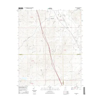
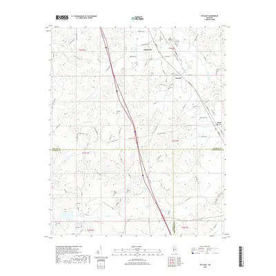
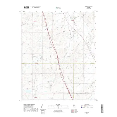
 - 1983 Map of Tie Plant
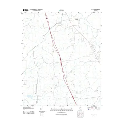
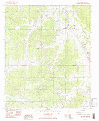 1983 Tie Plant1983 Print · USGSRailroad history and rural community life intersect in 1980s Mississippi where three counties meet. Genealogists can trace family names at Old Salem Cem and Wesley Chapel or follow the Illinois Central Gulf corridor through Tie Plant.
 - 1983 Map of Grenada, 1984 Print
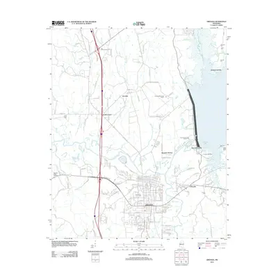
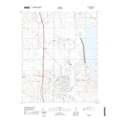
 1983 Grenada1984 Print · USGSGrenada and the Yalobusha River valley are shown here in the early eighties as the reservoir's impact on the local landscape was fully established. Genealogists and local historians can trace family sites at Barksdale Cem or Jones Chapel, and explore the rail-linked history of Memphis Junction.
 - 1983 Map of Holcomb, 1984 Print
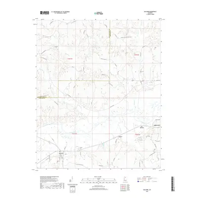
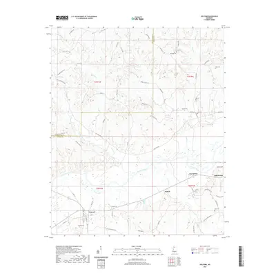
 1983 Holcomb1984 Print · USGSHolcomb and the surrounding river country are captured here in the early eighties as the community transitioned into the modern era. Genealogists can trace family footprints across several rural landmarks, including Tascohomo Cem, Jackson Chapel, and the river landing at Howard.
 - 1984 Map of West Point
 1984 West Point1984 Print · USGSNorth-Central Mississippi in the mid-eighties shows a landscape defined by massive water management projects and dense timberlands. Researchers can trace the legacy of rural settlements like Geeslin Corner or the rail corridors of the Illinois Central Gulf RR near Grenada Lake.3 unique versions available
 - 1984 Map of Grenada, 1990 Print
 1984 Grenada1990 Print · USGSNorth Central Mississippi’s river valleys and conservation lands are captured here in the mid-1980s. Researchers can trace the sprawling Camp Mc Cain, the Illinois Central Gulf rail line, and the historic Treaty Boundary.
 - 2012 Map of Holcomb, 2012 Print
 2012 Holcomb2012 Print · USGSCovers Grenada, including Dubard, Holcomb, and other nearby areas
 - 2012 Map of Grenada, 2012 Print
 2012 Grenada2012 Print · USGSCovers Grenada, including Grenada Landing, Kirkman Landing, and other nearby areas
 - 2012 Map of Tie Plant, 2012 Print
 2012 Tie Plant2012 Print · USGSCovers Grenada, including Elliott, Glenwild, and other nearby areas
 - 2015 Map of Holcomb, 2015 Print
 2015 Holcomb2015 Print · USGSCovers Grenada, including Dubard, Holcomb, and other nearby areas
 - 2015 Map of Tie Plant, 2015 Print
 2015 Tie Plant2015 Print · USGSCovers Grenada, including Elliott, Glenwild, and other nearby areas
 - 2015 Map of Grenada, 2015 Print
 2015 Grenada2015 Print · USGSCovers Grenada, including Grenada Landing, Kirkman Landing, and other nearby areas
 - 2018 Map of Grenada, 2018 Print
 2018 Grenada2018 Print · USGSCovers Grenada, including Grenada Landing, Kirkman Landing, and other nearby areas
 - 2018 Map of Holcomb, 2018 Print
 2018 Holcomb2018 Print · USGSCovers Grenada, including Dubard, Holcomb, and other nearby areas
 - 2018 Map of Tie Plant, 2018 Print
 2018 Tie Plant2018 Print · USGSCovers Grenada, including Elliott, Glenwild, and other nearby areas
 - 2020 Map of Holcomb, 2020 Print
 2020 Holcomb2020 Print · USGSCovers Grenada, including Dubard, Holcomb, and other nearby areas
 - 2020 Map of Grenada, 2020 Print
 2020 Grenada2020 Print · USGSCovers Grenada, including Grenada Landing, Kirkman Landing, and other nearby areas
 - 2020 Map of Tie Plant, 2020 Print
 2020 Tie Plant2020 Print · USGSCovers Grenada, including Elliott, Glenwild, and other nearby areas
 - 2024 Map of Holcomb, 2024 Print
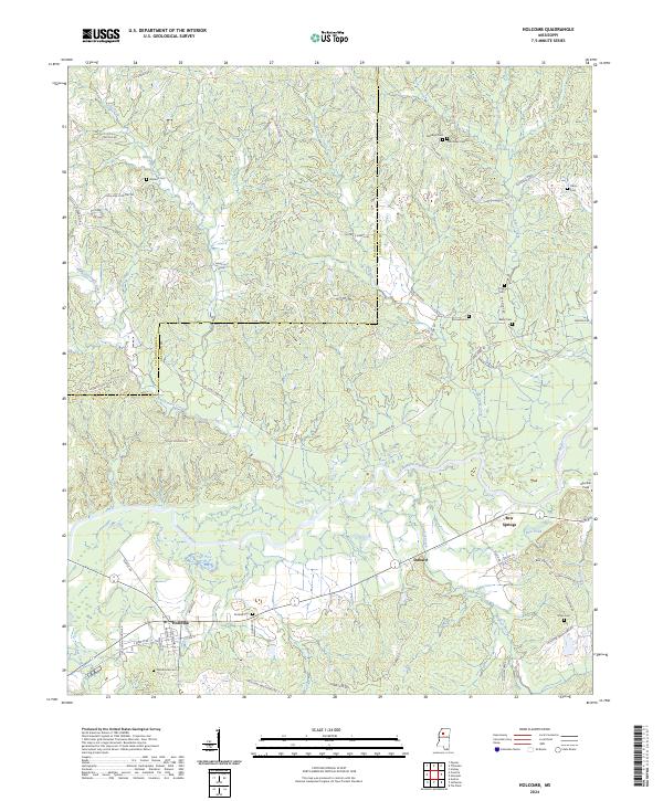 2024 Holcomb2024 Print · USGSThe community of Holcomb and the surrounding river bottomlands are captured here in the contemporary era. Researchers can trace historic family burial sites like Tascohomo Cem and Mcswine Cem alongside the Canadian National Railway.
 - 2024 Map of Tie Plant, 2024 Print
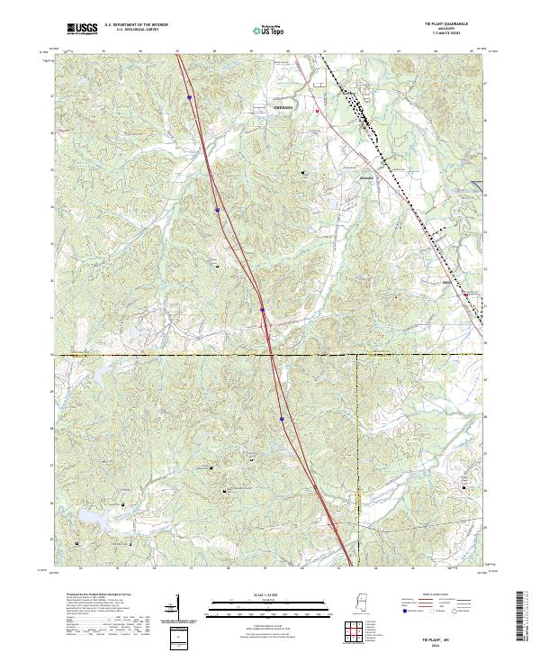 2024 Tie Plant2024 Print · USGSGrenada County at the meeting of Carroll and Montgomery counties shows a landscape of long-established rural churches and family cemeteries. Genealogists can trace family names at Hardiman Cem, Old Salem Cem, or the area surrounding Elliott.
 - 2024 Map of Grenada, 2024 Print
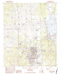
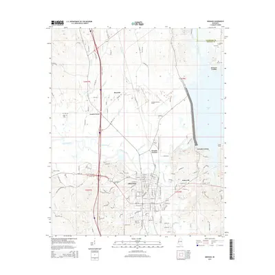
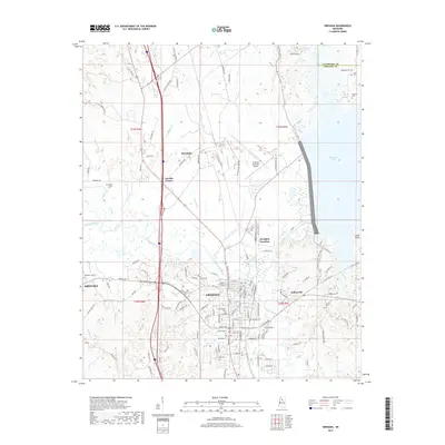
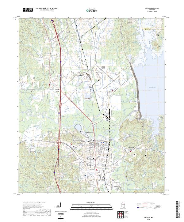 2024 Grenada2024 Print · USGSGrenada and its surrounding river bottoms are shown here in modern detail, highlighting the area's complex network of waterways and historic burial grounds. Researchers can trace the layout of Grenada streets, locate the Confederate Cemetery, and find smaller settlements like Futheyville and Sherman Ferry.
End of results
Showing maps 1-25 of 25
Top cities near Grenada
Top neighborhoods of Grenada
- Tie Plant historical maps
- Riverdale historical maps
- Futheyville historical maps
- Geeslin Corner historical maps
Frequently asked questions
- What are the different types of historical maps available for Grenada?
- What is the oldest map of Grenada?
- Where can I purchase historical maps of Grenada for my home or office?
- Where can I download high-res historical maps of Grenada?
- Are there historical topographic maps available for Grenada?
- Is there historical aerial imagery available for Grenada?
- Where are historical maps of Grenada sourced from?