2020s Maps of Grenada, Mississippi
Explore 6 historic maps of Grenada from the 2020s. These maps offer a rare glimpse into what life looked like during the 2020s — showing old roads, neighborhoods, homes, and landmarks that have changed or disappeared over time.
Whether you're researching your family's past, planning a metal detecting trip, or studying how Grenada's landscape evolved across the 2020s, these high-resolution maps are a powerful tool for exploring the history of this region.
- Focus on a specific era: All maps on this page are from the 2020s, giving you a focused view of this time period.
- See what’s changed: Compare century-old streets, trails, and buildings to today's modern landscape using overlays and satellite layers.
- Research with precision: Use these maps for genealogy, historical research, land use analysis, or educational projects.
- View, download, or print: Maps are fully viewable online in high resolution, and can be downloaded or printed for your own records.
Start exploring Grenada's history through authentic maps from the 2020s. This is your window into the past.
Grenada, MS maps
(6)- 2020 Map of Holcomb, 2020 Print
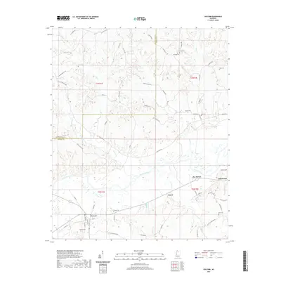 2020 Holcomb2020 Print · USGSCovers Grenada, including Dubard, Holcomb, and other nearby areas
 - 2020 Map of Grenada, 2020 Print
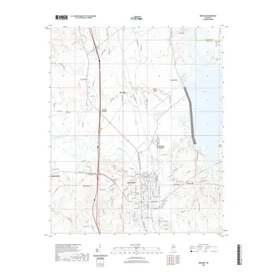 2020 Grenada2020 Print · USGSCovers Grenada, including Grenada Landing, Kirkman Landing, and other nearby areas
 - 2020 Map of Tie Plant, 2020 Print
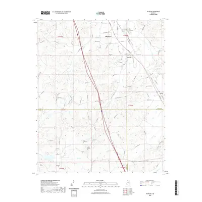 2020 Tie Plant2020 Print · USGSCovers Grenada, including Elliott, Glenwild, and other nearby areas
 - 2024 Map of Holcomb, 2024 Print
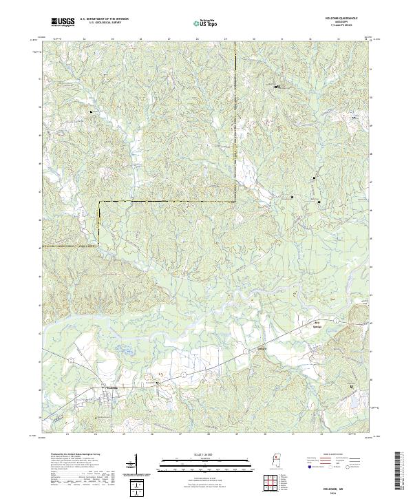 2024 Holcomb2024 Print · USGSThe community of Holcomb and the surrounding river bottomlands are captured here in the contemporary era. Researchers can trace historic family burial sites like Tascohomo Cem and Mcswine Cem alongside the Canadian National Railway.
 - 2024 Map of Tie Plant, 2024 Print
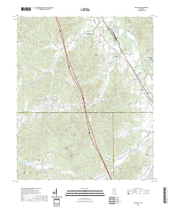 2024 Tie Plant2024 Print · USGSGrenada County at the meeting of Carroll and Montgomery counties shows a landscape of long-established rural churches and family cemeteries. Genealogists can trace family names at Hardiman Cem, Old Salem Cem, or the area surrounding Elliott.
 - 2024 Map of Grenada, 2024 Print
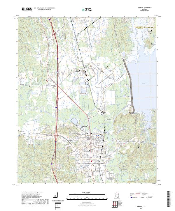 2024 Grenada2024 Print · USGSGrenada and its surrounding river bottoms are shown here in modern detail, highlighting the area's complex network of waterways and historic burial grounds. Researchers can trace the layout of Grenada streets, locate the Confederate Cemetery, and find smaller settlements like Futheyville and Sherman Ferry.
End of results
Showing maps 1-6 of 6
Top cities near Grenada
Top neighborhoods of Grenada
- Tie Plant historical maps
- Riverdale historical maps
- Futheyville historical maps
- Geeslin Corner historical maps
Frequently asked questions
- What are the different types of historical maps available for Grenada?
- What is the oldest map of Grenada?
- Where can I purchase historical maps of Grenada for my home or office?
- Where can I download high-res historical maps of Grenada?
- Are there historical topographic maps available for Grenada?
- Is there historical aerial imagery available for Grenada?
- Where are historical maps of Grenada sourced from?