Old Maps of Lexington, Mississippi
Explore 19 old maps of Lexington, spanning from 1940 to today. These high-resolution historic maps reveal how streets, neighborhoods, landmarks, and natural features evolved over time — perfect for genealogy, metal detecting, research, and local history exploration.
What you can do with these maps:
- See how Lexington changed over time: Compare historical maps to modern-day views to trace roads, homesites, rail lines & more.
- View detailed metadata: Each map includes creators, publishers, year, scale, and archive source.
- Overlay maps with satellite & LiDAR: Visualize the past alongside modern tools to explore terrain & human change.
- Trusted historical sources: Maps sourced from the USGS, Library of Congress, and other archives.
- Access maps your way: View online, download high-res files, or order prints for personal or research use.
Start exploring old maps of Lexington to uncover forgotten places, hidden landmarks, and the deep history beneath your feet.
Lexington, MS maps
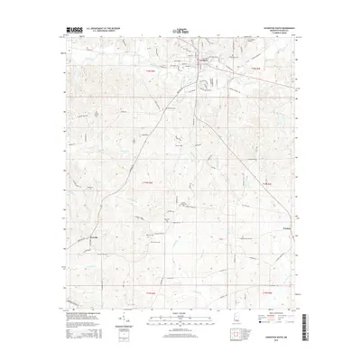
(19)- 1940 Map of Lexington, 1945 Print
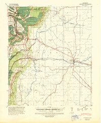 1940 Lexington1945 Print · USGSHolmes County at the start of the 1940s is captured here as a landscape of rail-connected towns and rural parish communities. Researchers can trace family roots through landmarks like the County Poor House, Industrial Sch, and Mt Sinai Ch.
 - 1953 Map of Greenwood, 1966 Print
 1953 Greenwood1966 Print · USGSThe Mississippi Delta in the mid-fifties is captured here as a thriving network of river towns, railroads, and oxbow lakes. Researchers can trace the legacy of the Illinois Central Railroad and locate landmarks like the State Penal Farm and Greenville Air Force Base.5 unique versions available
 - 1956 Map of Greenwood
 1956 Greenwood1956 Print · USGSThe Mississippi Delta in the mid-fifties is captured here during a period of significant military and agricultural activity. Researchers can trace the rail lines of the Illinois Central RR, find the Greenville Air Force Base, or locate the State Penal Farm.
 - 1957 Map of Lexington, 1960 Print
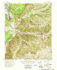
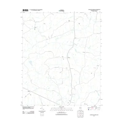
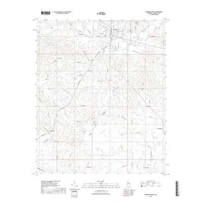
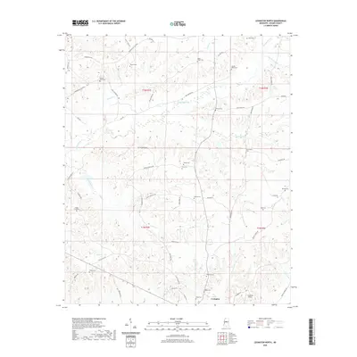
 1957 Lexington1960 Print · USGSMid-century Holmes County is captured here at a time when rural church-and-school hubs still anchored the Mississippi landscape. Genealogists can trace family footprints at Zion Hill Ch & Cem, Rose Bank Sch & Ch, and the rail junction at Gwin.2 unique versions available
 - 1958 Map of Lexington
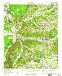
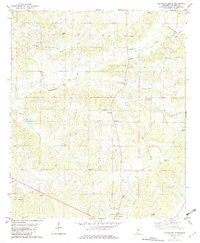
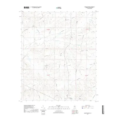
 1958 Lexington1958 Print · USGSHolmes County in the late fifties shows the intricate delta lowlands meeting the bluff hills near the county seat. Genealogists can trace family names at numerous integrated community sites like Hickory Springs and Sweetwater.
 - 1982 Map of Lexington South
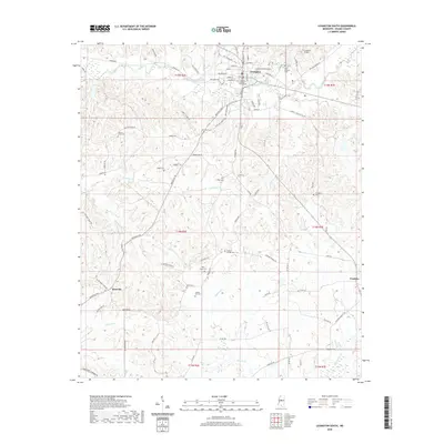
 1982 Lexington South1982 Print · USGSHolmes County in the early eighties shows a landscape of established rural communities and educational institutions. Researchers can locate family landmarks like the Odd Fellows Cem, Saints College, and small settlements such as Brozville and Franklin.
 - 1982 Map of Lexington North
 1982 Lexington North1982 Print · USGSHolmes County in the early eighties centers on the northern outskirts of Lexington, where rural life is defined by many small creeks and family cemeteries. Researchers can locate historical sites like Sunnyside Sch, Camp Calvin, and Whites.
 - 1984 Map of Indianola, 1985 Print
 1984 Indianola1985 Print · USGSThe Mississippi Delta of the mid-1980s reveals a landscape of fertile bottomlands shaped by the Sunflower River and Yazoo River. Researchers can trace the rail-and-river economy through landmarks like Saints College, the Leflore Cemetery, and the Columbus and Greenville Railway.
 - 1994 Map of Indianola
 1994 Indianola1994 Print · USGSThe Mississippi Delta's rich agricultural heartland is documented here in the mid-1990s, showing a landscape defined by meandering rivers and rail lines. Genealogists and historians can trace family roots in rural settlements like Nitta Yuma and Midnight or locate the sprawling Yazoo National Wildlife Refuge.
 - 2012 Map of Lexington North, 2012 Print
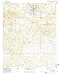
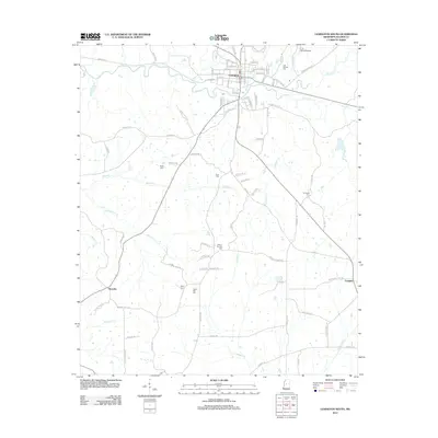
 2012 Lexington North2012 Print · USGSCovers Lexington, including Oregon, Lebanon, and other nearby areas
 - 2012 Map of Lexington South, 2012 Print
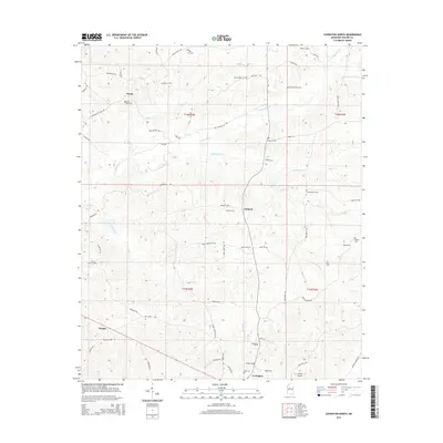
 2012 Lexington South2012 Print · USGSCovers Lexington, including Franklin, Brozville, and other nearby areas
 - 2015 Map of Lexington North, 2015 Print
 2015 Lexington North2015 Print · USGSCovers Lexington, including Oregon, Lebanon, and other nearby areas
 - 2015 Map of Lexington South, 2015 Print
 2015 Lexington South2015 Print · USGSCovers Lexington, including Franklin, Brozville, and other nearby areas
 - 2018 Map of Lexington South, 2018 Print
 2018 Lexington South2018 Print · USGSCovers Lexington, including Franklin, Brozville, and other nearby areas
 - 2018 Map of Lexington North, 2018 Print
 2018 Lexington North2018 Print · USGSCovers Lexington, including Oregon, Lebanon, and other nearby areas
 - 2020 Map of Lexington South, 2020 Print
 2020 Lexington South2020 Print · USGSCovers Lexington, including Franklin, Brozville, and other nearby areas
 - 2020 Map of Lexington North, 2020 Print
 2020 Lexington North2020 Print · USGSCovers Lexington, including Oregon, Lebanon, and other nearby areas
 - 2024 Map of Lexington South, 2024 Print
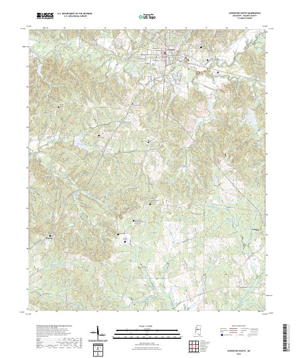 2024 Lexington South2024 Print · USGSThe rural stretches south of Lexington are captured here in the early 2020s, showing a landscape rich in community heritage. Genealogists can trace family footprints across numerous rural burial sites like Liberty Chapel Cem, Springhill Cem, and Antioch Baptist Church Cem.
 - 2024 Map of Lexington North, 2024 Print
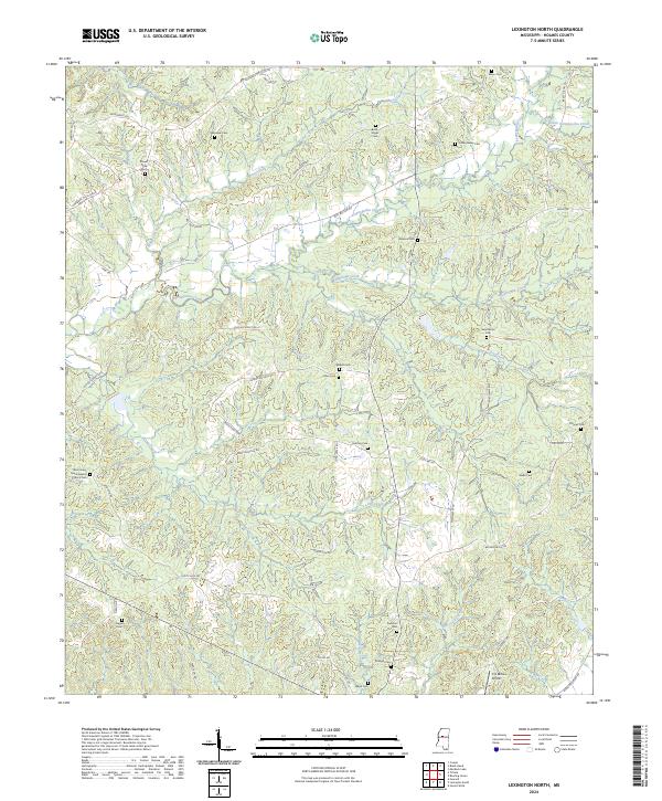 2024 Lexington North2024 Print · USGSHolmes County is documented here in the early twenty-first century, showing a rural landscape woven together by creek systems and historic family roads. Genealogists can locate numerous burial grounds including Wanalaw Cem, Pinkston Cem, and the West Shady Grove Baptist Church Cem.
End of results
Showing maps 1-19 of 19
Top cities near Lexington
- Durant historical maps
- Tchula historical maps
- Pickens historical maps
- Goodman historical maps
- Cruger historical maps
Frequently asked questions
- What are the different types of historical maps available for Lexington?
- What is the oldest map of Lexington?
- Where can I purchase historical maps of Lexington for my home or office?
- Where can I download high-res historical maps of Lexington?
- Are there historical topographic maps available for Lexington?
- Is there historical aerial imagery available for Lexington?
- Where are historical maps of Lexington sourced from?