2020s Maps of Bay Springs, Mississippi
Explore 6 historic maps of Bay Springs from the 2020s. These maps offer a rare glimpse into what life looked like during the 2020s — showing old roads, neighborhoods, homes, and landmarks that have changed or disappeared over time.
Whether you're researching your family's past, planning a metal detecting trip, or studying how Bay Springs's landscape evolved across the 2020s, these high-resolution maps are a powerful tool for exploring the history of this region.
- Focus on a specific era: All maps on this page are from the 2020s, giving you a focused view of this time period.
- See what’s changed: Compare century-old streets, trails, and buildings to today's modern landscape using overlays and satellite layers.
- Research with precision: Use these maps for genealogy, historical research, land use analysis, or educational projects.
- View, download, or print: Maps are fully viewable online in high resolution, and can be downloaded or printed for your own records.
Start exploring Bay Springs's history through authentic maps from the 2020s. This is your window into the past.
Bay Springs, MS maps
(6)- 2020 Map of Lake Como, 2020 Print
 2020 Lake Como2020 Print · USGSCovers Bay Springs, including Acme, Blue Ridge, and other nearby areas
 - 2020 Map of Bay Springs, 2020 Print
 2020 Bay Springs2020 Print · USGSCovers Bay Springs, including Jasper County, Smith County, and other nearby areas
 - 2021 Map of Louin, 2021 Print
 2021 Louin2021 Print · USGSCovers Bay Springs, including Louin, Montrose, and other nearby areas
 - 2024 Map of Lake Como, 2024 Print
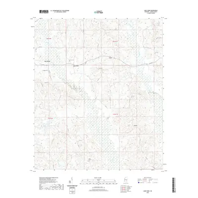
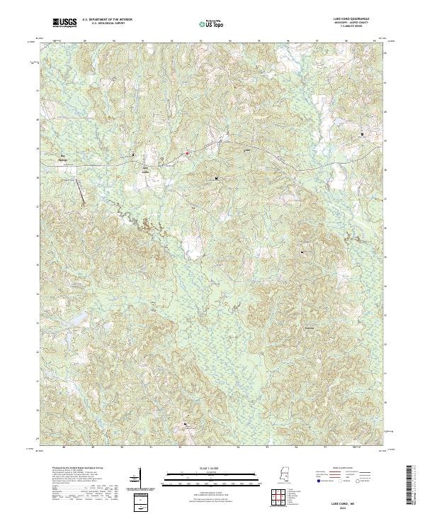 2024 Lake Como2024 Print · USGSJasper County is captured here in the early 2020s, showing a landscape defined by the winding Tallahoma Creek and the rural community of Lake Como. Researchers can trace local heritage through numerous family and church burial grounds like Enon Cem and Terry Cem.
 - 2024 Map of Bay Springs, 2024 Print
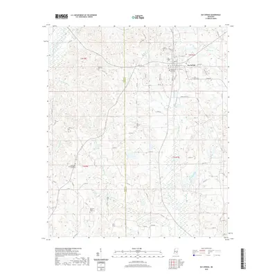
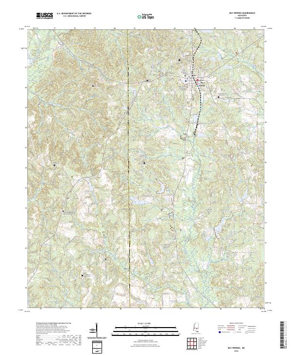 2024 Bay Springs2024 Print · USGSJasper County and the town of Bay Springs are shown in contemporary detail in this recent survey of east-central Mississippi. Genealogists can trace family connections through a wealth of local landmarks including the Old Mount Nebo Cem, McCraw Cem, and Union Cem.
 - 2024 Map of Louin, 2024 Print
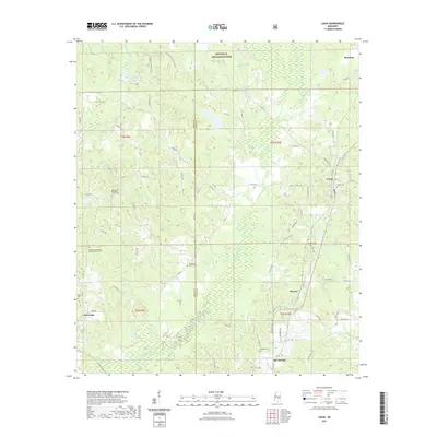
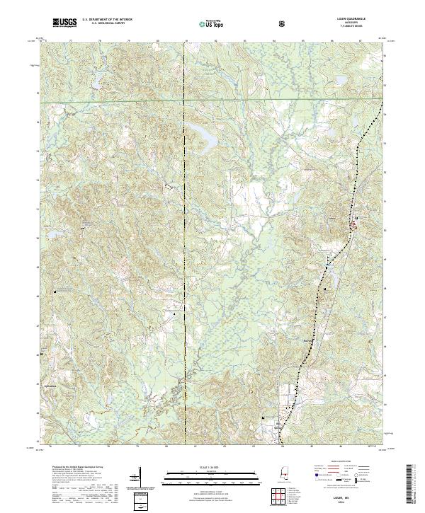 2024 Louin2024 Print · USGSJasper and Smith Counties are shown at the present day as a landscape defined by the Bienville National Forest and rural settlements. Researchers can trace local heritage through numerous burial sites and churches, including Louin Cem, Bethany Cem, and Hopewell Missionary Baptist Church.
End of results
Showing maps 1-6 of 6
Top cities near Bay Springs
- Taylorsville historical maps
- Raleigh historical maps
- Sandersville historical maps
- Soso historical maps
- Louin historical maps
- Montrose historical maps
See more
Frequently asked questions
- What are the different types of historical maps available for Bay Springs?
- What is the oldest map of Bay Springs?
- Where can I purchase historical maps of Bay Springs for my home or office?
- Where can I download high-res historical maps of Bay Springs?
- Are there historical topographic maps available for Bay Springs?
- Is there historical aerial imagery available for Bay Springs?
- Where are historical maps of Bay Springs sourced from?