2000s (21st Century) Maps of Lena, Mississippi
Explore 6 historic maps of Lena from the 2000s (21st Century). These maps offer a rare glimpse into what life looked like during the 2000s — showing old roads, neighborhoods, homes, and landmarks that have changed or disappeared over time.
Whether you're researching your family's past, planning a metal detecting trip, or studying how Lena's landscape evolved across the 2000s, these high-resolution maps are a powerful tool for exploring the history of this region.
- Focus on a specific era: All maps on this page are from the 2000s, giving you a focused view of this time period.
- See what’s changed: Compare century-old streets, trails, and buildings to today's modern landscape using overlays and satellite layers.
- Research with precision: Use these maps for genealogy, historical research, land use analysis, or educational projects.
- View, download, or print: Maps are fully viewable online in high resolution, and can be downloaded or printed for your own records.
Start exploring Lena's history through authentic maps from the 2000s. This is your window into the past.
Lena, MS maps
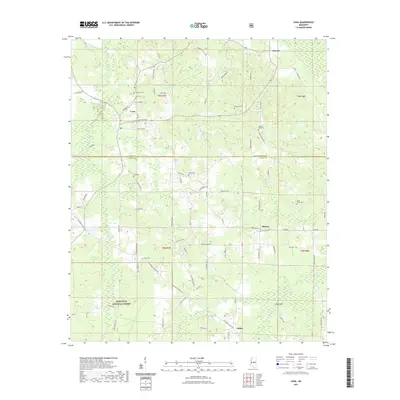
(6)- 2000 Map of Lena, 2002 Print
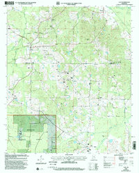 2000 Lena2002 Print · USGSLeake and Scott counties at the turn of the millennium show a landscape of deep pine woods and quiet rural communities. Genealogists can trace family connections through numerous landmarks like Sweetwater Church, Harmony Cemetery, and the settlement of Tuscola.
 - 2012 Map of Lena, 2012 Print
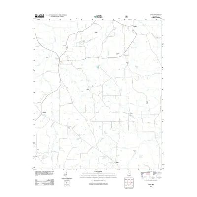 2012 Lena2012 Print · USGSCovers Lena, including Cash, Abdan, and other nearby areas
 - 2015 Map of Lena, 2015 Print
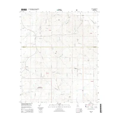 2015 Lena2015 Print · USGSCovers Lena, including Cash, Abdan, and other nearby areas
 - 2018 Map of Lena, 2018 Print
 2018 Lena2018 Print · USGSCovers Lena, including Cash, Abdan, and other nearby areas
 - 2021 Map of Lena, 2021 Print
 2021 Lena2021 Print · USGSCovers Lena, including Cash, Abdan, and other nearby areas
 - 2024 Map of Lena, 2024 Print
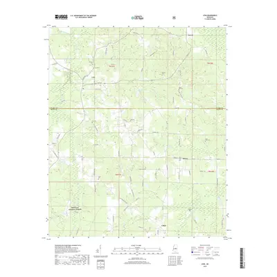
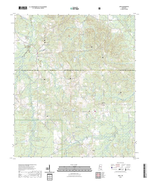 2024 Lena2024 Print · USGSSettlement in central Mississippi is documented here, where the wooded hills of Bienville National Forest meet rural homesteads. Genealogists can trace family heritage at Lena Cem, Harmony Cem, and Trinity Cem.
End of results
Showing maps 1-6 of 6
Top cities near Lena
Frequently asked questions
- What are the different types of historical maps available for Lena?
- What is the oldest map of Lena?
- Where can I purchase historical maps of Lena for my home or office?
- Where can I download high-res historical maps of Lena?
- Are there historical topographic maps available for Lena?
- Is there historical aerial imagery available for Lena?
- Where are historical maps of Lena sourced from?