2020s Maps of Macon, Mississippi
Explore 4 historic maps of Macon from the 2020s. These maps offer a rare glimpse into what life looked like during the 2020s — showing old roads, neighborhoods, homes, and landmarks that have changed or disappeared over time.
Whether you're researching your family's past, planning a metal detecting trip, or studying how Macon's landscape evolved across the 2020s, these high-resolution maps are a powerful tool for exploring the history of this region.
- Focus on a specific era: All maps on this page are from the 2020s, giving you a focused view of this time period.
- See what’s changed: Compare century-old streets, trails, and buildings to today's modern landscape using overlays and satellite layers.
- Research with precision: Use these maps for genealogy, historical research, land use analysis, or educational projects.
- View, download, or print: Maps are fully viewable online in high resolution, and can be downloaded or printed for your own records.
Start exploring Macon's history through authentic maps from the 2020s. This is your window into the past.
Macon, MS maps
(4)- 2020 Map of Macon, 2020 Print
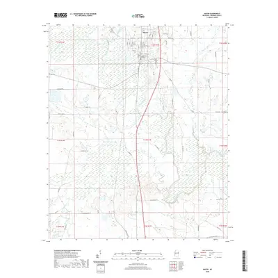 2020 Macon2020 Print · USGSCovers Macon, including Noxubee County, United States, and other nearby areas
 - 2020 Map of Brooksville, 2020 Print
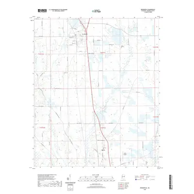 2020 Brooksville2020 Print · USGSCovers Macon, including Brooksville, Noxubee County, and other nearby areas
 - 2024 Map of Brooksville, 2024 Print
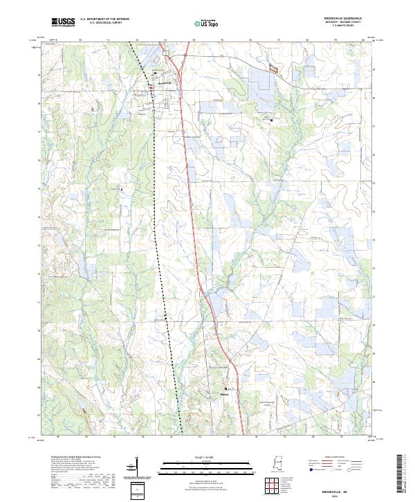 2024 Brooksville2024 Print · USGSNoxubee County in the modern era shows a landscape of steady agricultural roots and small-town centers. Genealogists can trace family landmarks and burial sites like Tolliver Cem and Halls Cem along the banks of Horse Hunters Creek.
 - 2024 Map of Macon, 2024 Print
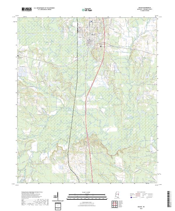 2024 Macon2024 Print · USGSMacon and the surrounding Noxubee County prairies are shown in this recent topographic survey. Genealogists and local historians can locate long-standing landmarks like the Noxubee County Courthouse, Odd Fellows Cem, and Howard Lake.
End of results
Showing maps 1-4 of 4
Top cities near Macon
Frequently asked questions
- What are the different types of historical maps available for Macon?
- What is the oldest map of Macon?
- Where can I purchase historical maps of Macon for my home or office?
- Where can I download high-res historical maps of Macon?
- Are there historical topographic maps available for Macon?
- Is there historical aerial imagery available for Macon?
- Where are historical maps of Macon sourced from?