Old Maps of Starkville, Mississippi for Academic Research
Study the evolution of Starkville with 24 high-resolution historic maps. Whether you're teaching, researching, or modeling changes in land use, these maps provide essential visual documentation of urban, environmental, and geographic change.
- Analyze long-term change: Track patterns in development, transportation, and natural features.
- Ideal for environmental or urban studies: Support academic projects with primary historical map data.
- Use in the classroom or lab: Educators and researchers rely on these maps to bring historical context to life.
These maps are a powerful tool for teaching, research, and visualizing how Starkville has changed over the decades.
Starkville, MS maps
(24)- 1953 Map of West Point, 1973 Print
 1953 West Point1973 Print · USGSNorth-Central Mississippi and the Alabama borderlands are captured here during the mid-twentieth century as new reservoirs and national forests transformed the landscape. Researchers can trace the path of the Mississippi & Skuna Valley railroad or locate old landings along the Tombigbee River and Schooner Creek.3 unique versions available
 - 1958 Map of West Point
 1958 West Point1958 Print · USGSNortheastern Mississippi and western Alabama are shown in the late 1950s, highlighting a region defined by its river-and-rail economy. Researchers can trace family roots through numerous settlements like Artesia and Vardaman or explore the corridor of the Tombigbee River.
 - 1959 Map of Pheba, 1960 Print
 1959 Pheba1960 Print · USGSClay County in the late fifties shows a rural landscape stitched together by country schools and small crossroads. Genealogists can trace family lines through Pearsons Chapel Cem or locate community hubs like Beasley High Sch and the Old Indian Boundary.
 - 1963 Map of West Point
 1963 West Point1963 Print · USGSEastern Mississippi and western Alabama are captured in the early sixties as industrial centers and rail lines connected the Black Prairie to the hills. Genealogists and historians can trace family-named watercourses and the early footprints of Starkville, Columbus, and the Noxubee National Wildlife Refuge.2 unique versions available
 - 1965 Map of Starkville, 1966 Print
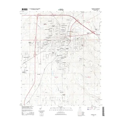
 1965 Starkville1966 Print · USGSStarkville and the neighboring college grounds are captured here in the mid-sixties during a period of steady institutional growth. Genealogists and historians can trace family locations near landmarks like Odd Fellows Cem or old rural schools such as Beat 1 Sch.4 unique versions available
 - 1965 Map of Longview, 1966 Print
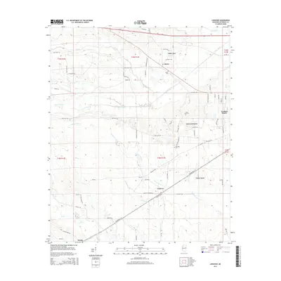
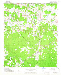 1965 Longview1966 Print · USGSOktibbeha County’s rural character is on full display in the mid-1960s, showing a landscape shaped by local churches and the rail line. Genealogists and historians can locate family landmarks like Lost Cem, Bethel Ch, and the old rail stop at Longview.3 unique versions available
 - 1982 Map of West Point, 1983 Print
 1982 West Point1983 Print · USGSEastern Mississippi and western Alabama are captured in the early eighties as the river-and-rail economy evolved. Trace family roots and old township lines near West Point, Columbus Air Force Base, and the historic Natchez Trace Parkway.
 - 1984 Map of West Point
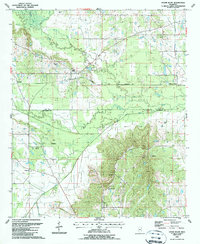
 1984 West Point1984 Print · USGSNorth-Central Mississippi in the mid-eighties shows a landscape defined by massive water management projects and dense timberlands. Researchers can trace the legacy of rural settlements like Geeslin Corner or the rail corridors of the Illinois Central Gulf RR near Grenada Lake.3 unique versions available
 - 1987 Map of Cedar Bluff
 1987 Cedar Bluff1987 Print · USGSClay and Oktibbeha Counties come together in the late eighties along a network of creek bottoms and rail lines. Genealogists can trace family names at Cumberland Cem and Mosley Cem or locate rural centers like Cedar Bluff and St Pauls Ch.
 - 2012 Map of Cedar Bluff, 2012 Print
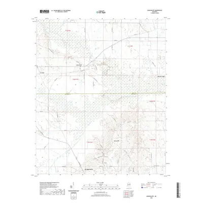
 2012 Cedar Bluff2012 Print · USGSCovers Starkville, including Rocky Hill, Mhoons Valley, and other nearby areas
 - 2012 Map of Starkville, 2012 Print
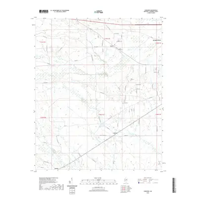
 2012 Starkville2012 Print · USGSCovers Starkville, including Deerfield, Green Oaks, and other nearby areas
 - 2012 Map of Longview, 2012 Print
 2012 Longview2012 Print · USGSCovers Starkville, including Westland Heights, Oakwood Estates, and other nearby areas
 - 2015 Map of Starkville, 2015 Print
 2015 Starkville2015 Print · USGSCovers Starkville, including Deerfield, Green Oaks, and other nearby areas
 - 2015 Map of Cedar Bluff, 2015 Print
 2015 Cedar Bluff2015 Print · USGSCovers Starkville, including Rocky Hill, Mhoons Valley, and other nearby areas
 - 2015 Map of Longview, 2015 Print
 2015 Longview2015 Print · USGSCovers Starkville, including Westland Heights, Oakwood Estates, and other nearby areas
 - 2018 Map of Longview, 2018 Print
 2018 Longview2018 Print · USGSCovers Starkville, including Westland Heights, Oakwood Estates, and other nearby areas
 - 2018 Map of Starkville, 2018 Print
 2018 Starkville2018 Print · USGSCovers Starkville, including Deerfield, Green Oaks, and other nearby areas
 - 2018 Map of Cedar Bluff, 2018 Print
 2018 Cedar Bluff2018 Print · USGSCovers Starkville, including Rocky Hill, Mhoons Valley, and other nearby areas
 - 2020 Map of Longview, 2020 Print
 2020 Longview2020 Print · USGSCovers Starkville, including Westland Heights, Oakwood Estates, and other nearby areas
 - 2020 Map of Cedar Bluff, 2020 Print
 2020 Cedar Bluff2020 Print · USGSCovers Starkville, including Rocky Hill, Mhoons Valley, and other nearby areas
 - 2020 Map of Starkville, 2020 Print
 2020 Starkville2020 Print · USGSCovers Starkville, including Deerfield, Green Oaks, and other nearby areas
 - 2024 Map of Cedar Bluff, 2024 Print
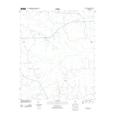
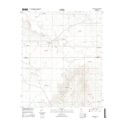
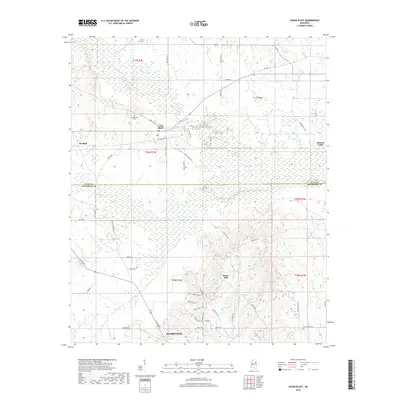
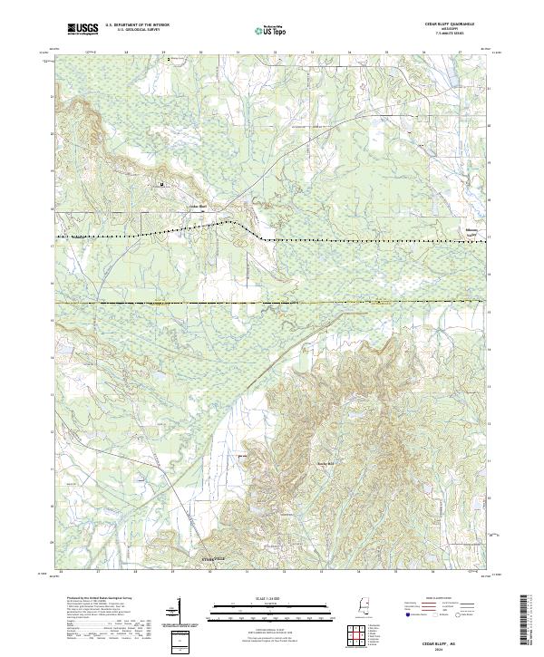 2024 Cedar Bluff2024 Print · USGSThe transition from the northern outskirts of Starkville to the rural creek bottoms of the Clay County line is captured in this modern survey. Researchers can locate family landmarks such as Cumberland Cemetery and trace the paths of Line Creek and Old Hwy 10 through Cedar Bluff.
 - 2024 Map of Starkville, 2024 Print
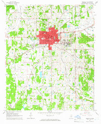
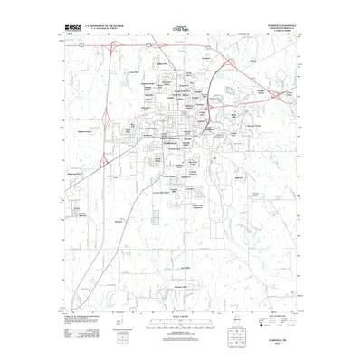
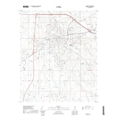
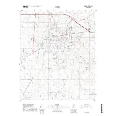
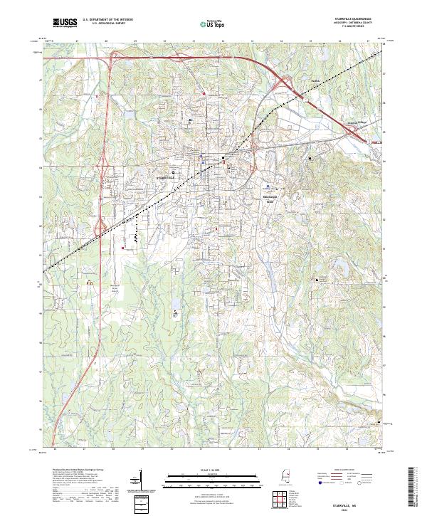 2024 Starkville2024 Print · USGSThe university city of Starkville and its surrounding Oktibbeha County landscape are captured here in the contemporary era. Researchers can trace the layout of Mississippi State University or locate local landmarks like the Oktibbeha County Courthouse and Odd Fellows Cem.
 - 2024 Map of Longview, 2024 Print
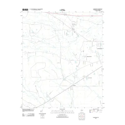
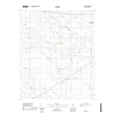
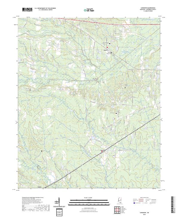 2024 Longview2024 Print · USGSOktibbeha County is captured here in the contemporary era, showing a landscape where small rural settlements like Longview and Adaton remain anchored by their local history. Genealogists can trace family connections through numerous sites including Adaton Methodist Cemetery and New Hope Cemetery.
End of results
Showing maps 1-24 of 24
Top cities near Starkville
Top neighborhoods of Starkville
- Academy Park historical maps
- Hillcrest historical maps
- Avondale historical maps
- Landers historical maps
- Templeton Meadows historical maps
- Magnolia Heights historical maps
See more
Frequently asked questions
- What are the different types of historical maps available for Starkville?
- What is the oldest map of Starkville?
- Where can I purchase historical maps of Starkville for my home or office?
- Where can I download high-res historical maps of Starkville?
- Are there historical topographic maps available for Starkville?
- Is there historical aerial imagery available for Starkville?
- Where are historical maps of Starkville sourced from?