2020s Maps of Osyka, Mississippi
Explore 4 historic maps of Osyka from the 2020s. These maps offer a rare glimpse into what life looked like during the 2020s — showing old roads, neighborhoods, homes, and landmarks that have changed or disappeared over time.
Whether you're researching your family's past, planning a metal detecting trip, or studying how Osyka's landscape evolved across the 2020s, these high-resolution maps are a powerful tool for exploring the history of this region.
- Focus on a specific era: All maps on this page are from the 2020s, giving you a focused view of this time period.
- See what’s changed: Compare century-old streets, trails, and buildings to today's modern landscape using overlays and satellite layers.
- Research with precision: Use these maps for genealogy, historical research, land use analysis, or educational projects.
- View, download, or print: Maps are fully viewable online in high resolution, and can be downloaded or printed for your own records.
Start exploring Osyka's history through authentic maps from the 2020s. This is your window into the past.
Osyka, MS maps
(4)- 2020 Map of Spring Creek, 2020 Print
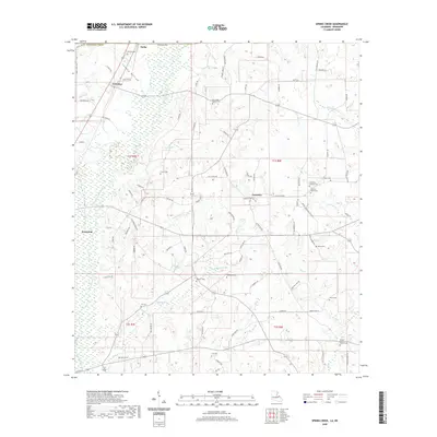 2020 Spring Creek2020 Print · USGSCovers Osyka, including Kentwood, Spring Creek, and other nearby areas
 - 2020 Map of Osyka, 2020 Print
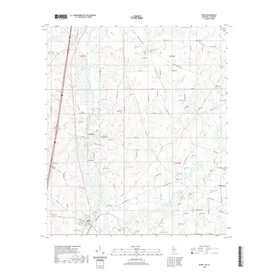 2020 Osyka2020 Print · USGSCovers Osyka, including Chatawa, Tangipahoa Parish, and other nearby areas
 - 2024 Map of Spring Creek, 2024 Print
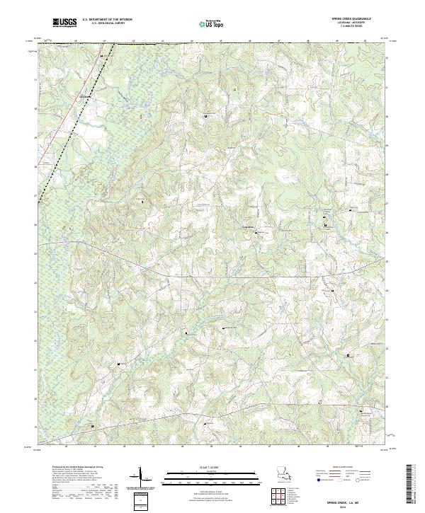 2024 Spring Creek2024 Print · USGSTangipahoa Parish near the Mississippi state line is documented here in the early twenty-first century, showing a rural landscape shaped by river branches. Genealogists can trace family heritage through Lewiston Cem, Mixon Cem, and the Beulah Baptist Church.
 - 2024 Map of Osyka, 2024 Print
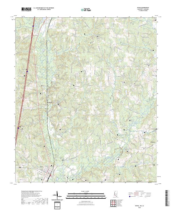 2024 Osyka2024 Print · USGSSouthern Mississippi's border country comes into focus here, showing the settlement of Osyka and the river-carved timberlands of Pike County. Researchers can trace dozens of family burial sites like Rayborn Easley Cem and Fulham Cem near the Tangipahoa River.
End of results
Showing maps 1-4 of 4
Top cities near Osyka
- McComb historical maps
- Kentwood historical maps
- Magnolia historical maps
- Tangipahoa historical maps
- Greensburg historical maps
Frequently asked questions
- What are the different types of historical maps available for Osyka?
- What is the oldest map of Osyka?
- Where can I purchase historical maps of Osyka for my home or office?
- Where can I download high-res historical maps of Osyka?
- Are there historical topographic maps available for Osyka?
- Is there historical aerial imagery available for Osyka?
- Where are historical maps of Osyka sourced from?