Old Maps of James, Mississippi for Academic Research
Study the evolution of James with 12 high-resolution historic maps. Whether you're teaching, researching, or modeling changes in land use, these maps provide essential visual documentation of urban, environmental, and geographic change.
- Analyze long-term change: Track patterns in development, transportation, and natural features.
- Ideal for environmental or urban studies: Support academic projects with primary historical map data.
- Use in the classroom or lab: Educators and researchers rely on these maps to bring historical context to life.
These maps are a powerful tool for teaching, research, and visualizing how James has changed over the decades.
James, MS maps
(12)- 1939 Map of Readland, 1942 Print
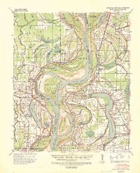 1939 Readland1942 Print · USGSThe tri-state delta country comes alive in this late Depression-era survey of the Mississippi riverfront. Genealogists and historians can trace numerous rural congregations and landings, from the Graymound Cem to Lakeport Ldg and Daniels Chapel Shiloh Ch.3 unique versions available
 - 1953 Map of Greenwood, 1966 Print
 1953 Greenwood1966 Print · USGSThe Mississippi Delta in the mid-fifties is captured here as a thriving network of river towns, railroads, and oxbow lakes. Researchers can trace the legacy of the Illinois Central Railroad and locate landmarks like the State Penal Farm and Greenville Air Force Base.5 unique versions available
 - 1956 Map of Greenwood
 1956 Greenwood1956 Print · USGSThe Mississippi Delta in the mid-fifties is captured here during a period of significant military and agricultural activity. Researchers can trace the rail lines of the Illinois Central RR, find the Greenville Air Force Base, or locate the State Penal Farm.
 - 1970 Map of Avon, 1972 Print
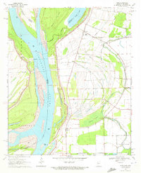 1970 Avon1972 Print · USGSThe tri-state border region of Mississippi, Arkansas, and Louisiana comes alive in the early seventies as the river meanders through a landscape of levees and oxbows. Researchers can trace rural life at Avon and Longwood or locate the Little Sister Ch Cem.
 - 1972 Map of Readland
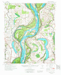 1972 Readland1972 Print · USGSThe Arkansas and Mississippi borderlands come to life in the early seventies, showcasing a landscape of massive oxbow lakes and massive river cutoffs. Researchers can locate family landmarks such as Little Sister Ch, Lakeport Cem, and the Indian Mounds near Harwood.
 - 1986 Map of Crossett
 1986 Crossett1986 Print · USGSSoutheast Arkansas and the Mississippi Delta meet in the mid-1980s, revealing a landscape of rail-linked towns and river bottomlands. Researchers can trace the Missouri Pacific line through Hamburg and Parkdale or locate Millers Chapel and Winterville Mounds State Park.2 unique versions available
 - 2011 Map of Avon, 2011 Print
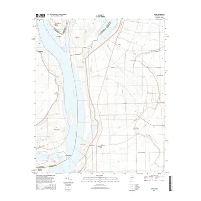
 2011 Avon2011 Print · USGSCovers James, including Avon, Longwood, and other nearby areas
 - 2012 Map of Avon, 2012 Print
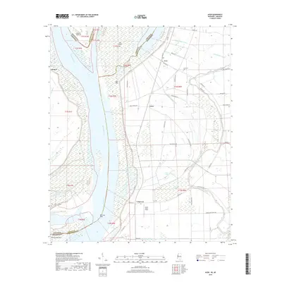
 2012 Avon2012 Print · USGSCovers James, including Avon, Longwood, and other nearby areas
 - 2015 Map of Avon, 2015 Print
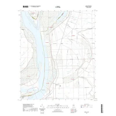
 2015 Avon2015 Print · USGSCovers James, including Avon, Longwood, and other nearby areas
 - 2018 Map of Avon, 2018 Print
 2018 Avon2018 Print · USGSCovers James, including Avon, Longwood, and other nearby areas
 - 2020 Map of Avon, 2020 Print
 2020 Avon2020 Print · USGSCovers James, including Avon, Longwood, and other nearby areas
 - 2024 Map of Avon, 2024 Print
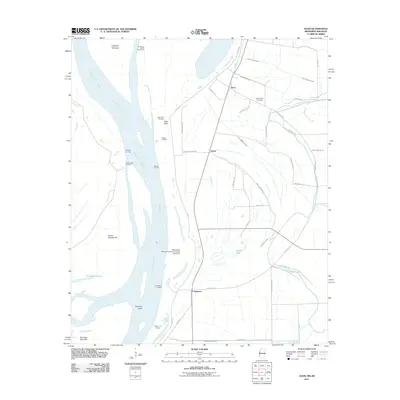
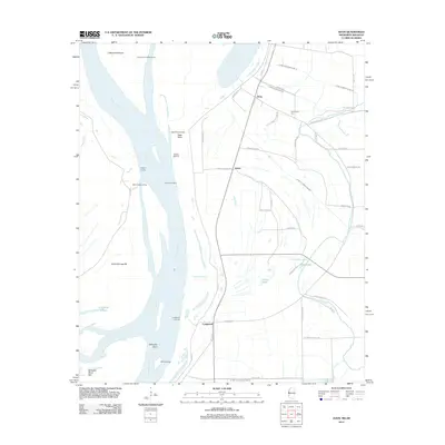
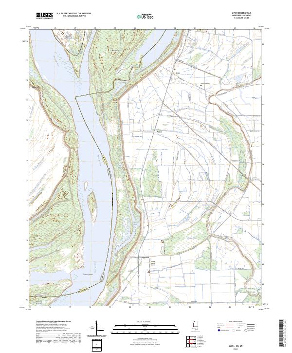 2024 Avon2024 Print · USGSThe Mississippi River delta landscape comes alive in this current-era survey of the borderlands between Arkansas and Mississippi. Genealogists and researchers can trace local landmarks like Graymound Cem, Steele Farms Airport, and the small settlements of Avon and Longwood.
End of results
Showing maps 1-12 of 12
Top cities near James
- Greenville historical maps
- Leland historical maps
- Hollandale historical maps
- Eudora historical maps
- Lake Village historical maps
- Anguilla historical maps
See more
Frequently asked questions
- What are the different types of historical maps available for James?
- What is the oldest map of James?
- Where can I purchase historical maps of James for my home or office?
- Where can I download high-res historical maps of James?
- Are there historical topographic maps available for James?
- Is there historical aerial imagery available for James?
- Where are historical maps of James sourced from?