Old Maps of Longwood, Mississippi
Explore 12 old maps of Longwood, spanning from 1939 to today. These high-resolution historic maps reveal how streets, neighborhoods, landmarks, and natural features evolved over time — perfect for genealogy, metal detecting, research, and local history exploration.
What you can do with these maps:
- See how Longwood changed over time: Compare historical maps to modern-day views to trace roads, homesites, rail lines & more.
- View detailed metadata: Each map includes creators, publishers, year, scale, and archive source.
- Overlay maps with satellite & LiDAR: Visualize the past alongside modern tools to explore terrain & human change.
- Trusted historical sources: Maps sourced from the USGS, Library of Congress, and other archives.
- Access maps your way: View online, download high-res files, or order prints for personal or research use.
Start exploring old maps of Longwood to uncover forgotten places, hidden landmarks, and the deep history beneath your feet.
Longwood, MS maps
(12)- 1939 Map of Readland, 1942 Print
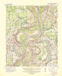 1939 Readland1942 Print · USGSThe tri-state delta country comes alive in this late Depression-era survey of the Mississippi riverfront. Genealogists and historians can trace numerous rural congregations and landings, from the Graymound Cem to Lakeport Ldg and Daniels Chapel Shiloh Ch.3 unique versions available
 - 1953 Map of Greenwood, 1966 Print
 1953 Greenwood1966 Print · USGSThe Mississippi Delta in the mid-fifties is captured here as a thriving network of river towns, railroads, and oxbow lakes. Researchers can trace the legacy of the Illinois Central Railroad and locate landmarks like the State Penal Farm and Greenville Air Force Base.5 unique versions available
 - 1956 Map of Greenwood
 1956 Greenwood1956 Print · USGSThe Mississippi Delta in the mid-fifties is captured here during a period of significant military and agricultural activity. Researchers can trace the rail lines of the Illinois Central RR, find the Greenville Air Force Base, or locate the State Penal Farm.
 - 1970 Map of Avon, 1972 Print
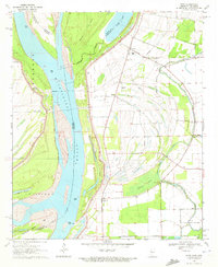 1970 Avon1972 Print · USGSThe tri-state border region of Mississippi, Arkansas, and Louisiana comes alive in the early seventies as the river meanders through a landscape of levees and oxbows. Researchers can trace rural life at Avon and Longwood or locate the Little Sister Ch Cem.
 - 1972 Map of Readland
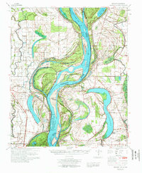 1972 Readland1972 Print · USGSThe Arkansas and Mississippi borderlands come to life in the early seventies, showcasing a landscape of massive oxbow lakes and massive river cutoffs. Researchers can locate family landmarks such as Little Sister Ch, Lakeport Cem, and the Indian Mounds near Harwood.
 - 1986 Map of Crossett
 1986 Crossett1986 Print · USGSSoutheast Arkansas and the Mississippi Delta meet in the mid-1980s, revealing a landscape of rail-linked towns and river bottomlands. Researchers can trace the Missouri Pacific line through Hamburg and Parkdale or locate Millers Chapel and Winterville Mounds State Park.2 unique versions available
 - 2011 Map of Avon, 2011 Print
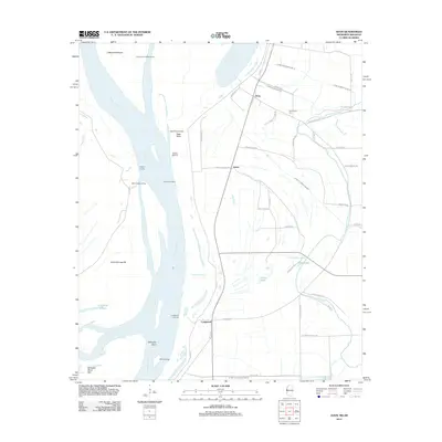
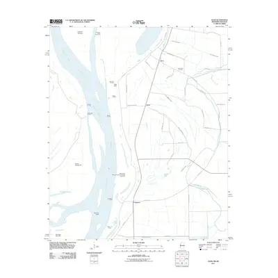 2011 Avon2011 Print · USGSCovers Longwood, including Avon, James, and other nearby areas
 - 2012 Map of Avon, 2012 Print
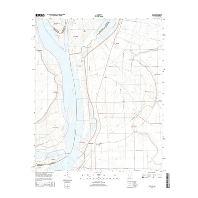
 2012 Avon2012 Print · USGSCovers Longwood, including Avon, James, and other nearby areas
 - 2015 Map of Avon, 2015 Print
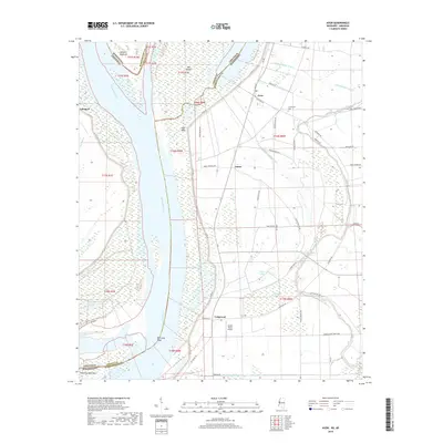
 2015 Avon2015 Print · USGSCovers Longwood, including Avon, James, and other nearby areas
 - 2018 Map of Avon, 2018 Print
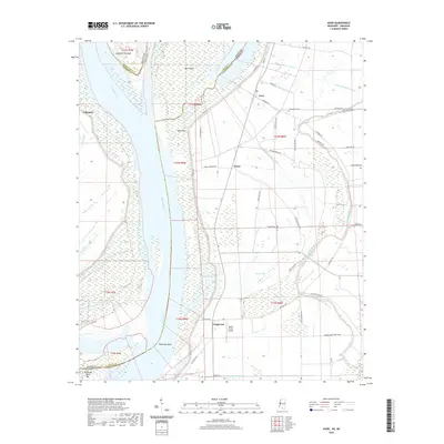
 2018 Avon2018 Print · USGSCovers Longwood, including Avon, James, and other nearby areas
 - 2020 Map of Avon, 2020 Print
 2020 Avon2020 Print · USGSCovers Longwood, including Avon, James, and other nearby areas
 - 2024 Map of Avon, 2024 Print
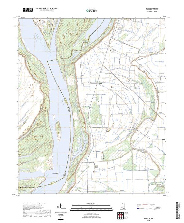 2024 Avon2024 Print · USGSThe Mississippi River delta landscape comes alive in this current-era survey of the borderlands between Arkansas and Mississippi. Genealogists and researchers can trace local landmarks like Graymound Cem, Steele Farms Airport, and the small settlements of Avon and Longwood.
End of results
Showing maps 1-12 of 12
Top cities near Longwood
- Greenville historical maps
- Hollandale historical maps
- Eudora historical maps
- Lake Village historical maps
- Arcola historical maps
Frequently asked questions
- What are the different types of historical maps available for Longwood?
- What is the oldest map of Longwood?
- Where can I purchase historical maps of Longwood for my home or office?
- Where can I download high-res historical maps of Longwood?
- Are there historical topographic maps available for Longwood?
- Is there historical aerial imagery available for Longwood?
- Where are historical maps of Longwood sourced from?