Old Maps of Whistler, Mississippi
Explore 10 old maps of Whistler, spanning from 1953 to today. These high-resolution historic maps reveal how streets, neighborhoods, landmarks, and natural features evolved over time — perfect for genealogy, metal detecting, research, and local history exploration.
What you can do with these maps:
- See how Whistler changed over time: Compare historical maps to modern-day views to trace roads, homesites, rail lines & more.
- View detailed metadata: Each map includes creators, publishers, year, scale, and archive source.
- Overlay maps with satellite & LiDAR: Visualize the past alongside modern tools to explore terrain & human change.
- Trusted historical sources: Maps sourced from the USGS, Library of Congress, and other archives.
- Access maps your way: View online, download high-res files, or order prints for personal or research use.
Start exploring old maps of Whistler to uncover forgotten places, hidden landmarks, and the deep history beneath your feet.
Whistler, MS maps
(10)- 1953 Map of Hattiesburg, 1965 Print
 1953 Hattiesburg1965 Print · USGSSouth Mississippi and western Alabama are shown here during the mid-twentieth century as the timber and rail industries shaped the region. Genealogists and historians can trace rail lines like the Mississippi Central and locate rural centers such as Magee, Richton, and Mount Vernon.4 unique versions available
 - 1958 Map of Hattiesburg
 1958 Hattiesburg1958 Print · USGSSoutheastern Mississippi's timber and rail networks are at their peak during the late fifties, centered on the growing hubs of Hattiesburg and Laurel. Researchers can trace old family landmarks like Sims Chapel, the Busbey Game Refuge, and the vanished stops along the Mississippi Central railroad.2 unique versions available
 - 1964 Map of Whistler, 1965 Print
 1964 Whistler1965 Print · USGSIn the mid-1960s, this Wayne County landscape near the Whistler settlement was defined by its timbered ridges and rural crossroads. Researchers can trace family history through sites like Arrington Cem and the old railroad grade.2 unique versions available
 - 1984 Map of Hattiesburg
 1984 Hattiesburg1984 Print · USGSSouth Mississippi’s Pine Belt is seen here in the mid-eighties, showing the region as a hub of timber production and petroleum extraction. Trace the rail lines of the Illinois Central Gulf RR through old settlements like Richton or the energy developments at the Heidelberg Oil Field.2 unique versions available
 - 1984 Map of Waynesboro
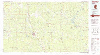 1984 Waynesboro1984 Print · USGSThe borderlands of Mississippi and Alabama come alive in this mid-eighties survey of timber and river country. Researchers can trace the Illinois Central Gulf Railroad corridor through Waynesboro and Shubuta, or locate remote lookouts like Maynor Creek Lookout.2 unique versions available
 - 2012 Map of Whistler, 2012 Print
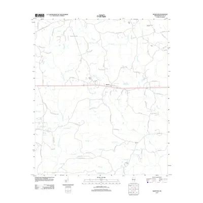 2012 Whistler2012 Print · USGSWayne County's rural landscape is captured here in the early twenty-first century, showcasing a region shaped by creek networks and local industry. Researchers can pinpoint family history at Boyles Chapel Cemetery or trace the West Yellow Creek Oil Field and Whistler Lookout Tower.
 - 2015 Map of Whistler, 2015 Print
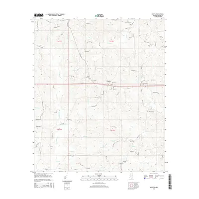 2015 Whistler2015 Print · USGSWayne County, Mississippi, is shown here in the mid-2010s, capturing the enduring rural character of its settlements and family lands. Researchers can trace deep local roots through features like Boyles Chapel Cem, Mozingo Cem, and the winding Little Thompson Cr.
 - 2018 Map of Whistler, 2018 Print
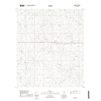 2018 Whistler2018 Print · USGSWayne County in the late twenty-teens is a landscape of rural family homesteads and winding creek bottoms. Genealogists can trace local heritage through numerous burial sites like Arrington Cemetery and the many named landmarks like Paster Reed Brake.
 - 2020 Map of Whistler, 2020 Print
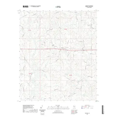 2020 Whistler2020 Print · USGSWayne County's rural landscape is preserved here as it appeared recently, centered on the crossroad settlement of Whistler. Researchers can trace family history through numerous landmarks including Boyles Chapel Cem, Mozingo Cem, and Sanderson Cem.
 - 2024 Map of Whistler, 2024 Print
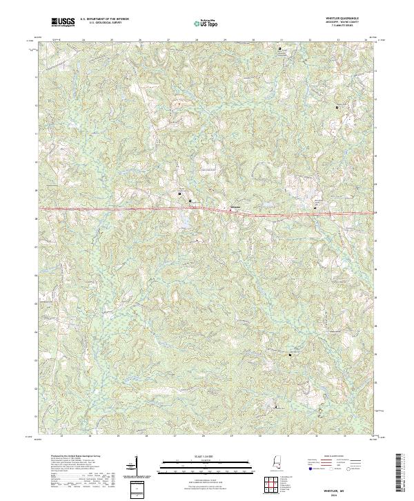 2024 Whistler2024 Print · USGSWayne County's rural character and family settlements are preserved here in the early twenty-first century. Researchers can trace ancestral locations through numerous local burial grounds, including Arrington Cem, Sanderson Cem, and the Boyles Chapel Cem near Whistler.
End of results
Showing maps 1-10 of 10
Top cities near Whistler
- Waynesboro historical maps
- Heidelberg historical maps
- Sandersville historical maps
- Shubuta historical maps
Frequently asked questions
- What are the different types of historical maps available for Whistler?
- What is the oldest map of Whistler?
- Where can I purchase historical maps of Whistler for my home or office?
- Where can I download high-res historical maps of Whistler?
- Are there historical topographic maps available for Whistler?
- Is there historical aerial imagery available for Whistler?
- Where are historical maps of Whistler sourced from?