Old Maps of Wilkinson, Mississippi
Explore 13 old maps of Wilkinson, spanning from 1953 to today. These high-resolution historic maps reveal how streets, neighborhoods, landmarks, and natural features evolved over time — perfect for genealogy, metal detecting, research, and local history exploration.
What you can do with these maps:
- See how Wilkinson changed over time: Compare historical maps to modern-day views to trace roads, homesites, rail lines & more.
- View detailed metadata: Each map includes creators, publishers, year, scale, and archive source.
- Overlay maps with satellite & LiDAR: Visualize the past alongside modern tools to explore terrain & human change.
- Trusted historical sources: Maps sourced from the USGS, Library of Congress, and other archives.
- Access maps your way: View online, download high-res files, or order prints for personal or research use.
Start exploring old maps of Wilkinson to uncover forgotten places, hidden landmarks, and the deep history beneath your feet.
Wilkinson, MS maps
(13)- 1953 Map of Natchez, 1966 Print
 1953 Natchez1966 Print · USGSSouthwest Mississippi and the Louisiana border country come alive in this mid-century survey of the river valley and forest lands. Researchers can trace the rail lines of the Illinois Central RR and locate rural hubs like Gloster and Ferriday.3 unique versions available
 - 1956 Map of Natchez
 1956 Natchez1956 Print · USGSThe Mississippi River borderlands and the Pine Hills come alive in this mid-fifties study of the Natchez region. Genealogists and historians can trace rail-era towns along the Illinois Central RR and explore the oxbows of Lake Bruin and Lake Concordia.
 - 1959 Map of Natchez
 1959 Natchez1959 Print · USGSSouthwestern Mississippi and eastern Louisiana are captured in the late fifties, showing a landscape defined by the winding Mississippi River and the timbered Homochitto National Forest. Researchers can trace the sprawling Illinois Central RR and find rural landmarks like Union Church and Camp Van Dorn (Abandoned).
 - 1961 Map of Gloster, 1963 Print
 1961 Gloster1963 Print · USGSSouthwest Mississippi is mapped here in the early sixties, showing the rural communities along the Illinois Central line. Genealogists can trace family roots at Wilkinson Cem, Mt Carmel Ch, and the small settlement of Caledonia.2 unique versions available
 - 1984 Map of Woodville
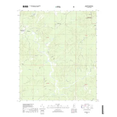
 1984 Woodville1984 Print · USGSThe Mississippi-Louisiana borderlands in the mid-eighties show a landscape defined by the shifting MISSISSIPPI RIVER and sprawling timberlands. Researchers can trace the ILLINOIS CENTRAL GULF railroad through Gloster or locate historic river points like Fort Adams and Point Breeze.
 - 1988 Map of Wilkinson
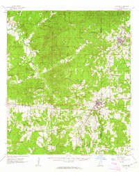
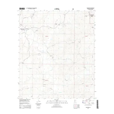
 1988 Wilkinson1988 Print · USGSWilkinson County in the late 1980s reveals a landscape of timbered hills and winding river bottoms within the Homochitto National Forest. Genealogists and local historians can trace family ties through numerous rural burial sites like McCrain Cem, Shropshire Cem, and Macedonia Cem.
 - 1991 Map of Woodville
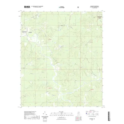
 1991 Woodville1991 Print · USGSWilkinson County and the Louisiana borderlands appear here in the early nineties, where the bluffs meet the Mississippi River floodplain. Trace the sites of old river landings and rural outposts like Fort Adams, Pinckneyville, and the remote Larto Lake community.
 - 2000 Map of Wilkinson, 2002 Print
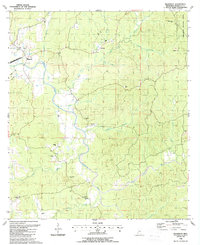
 2000 Wilkinson2002 Print · USGSWilkinson County at the turn of the millennium shows a landscape defined by the winding Buffalo River and deep timber tracts. Genealogists can locate numerous family burial grounds and country churches like Macedonia Cem, Coon Cem, and Midway Ch.
 - 2012 Map of Wilkinson, 2012 Print
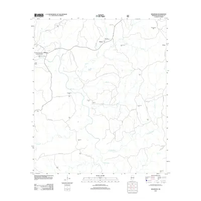 2012 Wilkinson2012 Print · USGSCovers Wilkinson, including Saukum, Hiram, and other nearby areas
 - 2015 Map of Wilkinson, 2015 Print
 2015 Wilkinson2015 Print · USGSCovers Wilkinson, including Saukum, Hiram, and other nearby areas
 - 2018 Map of Wilkinson, 2018 Print
 2018 Wilkinson2018 Print · USGSCovers Wilkinson, including Saukum, Hiram, and other nearby areas
 - 2021 Map of Wilkinson, 2021 Print
 2021 Wilkinson2021 Print · USGSCovers Wilkinson, including Saukum, Hiram, and other nearby areas
 - 2024 Map of Wilkinson, 2024 Print
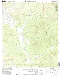
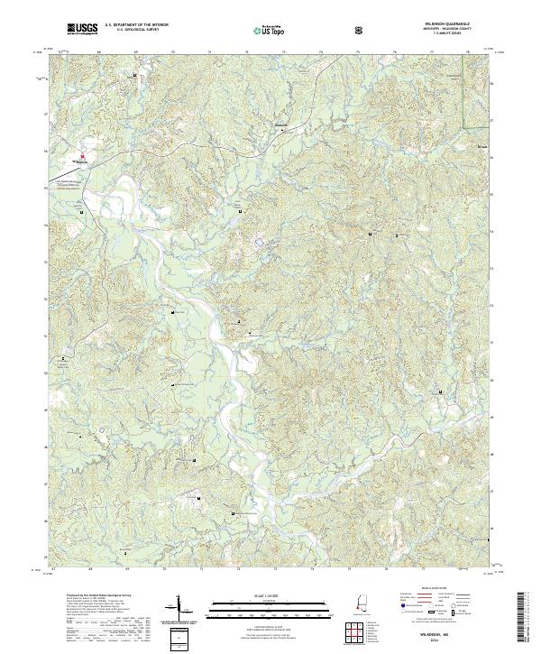 2024 Wilkinson2024 Print · USGSWilkinson County timberlands and river bottoms are captured here in the early twenty-first century. Genealogists and local historians can locate numerous small family plots such as Cavin Cem and Brown 2 Family Cem along the Buffalo River.
End of results
Showing maps 1-13 of 13
Top cities near Wilkinson
Frequently asked questions
- What are the different types of historical maps available for Wilkinson?
- What is the oldest map of Wilkinson?
- Where can I purchase historical maps of Wilkinson for my home or office?
- Where can I download high-res historical maps of Wilkinson?
- Are there historical topographic maps available for Wilkinson?
- Is there historical aerial imagery available for Wilkinson?
- Where are historical maps of Wilkinson sourced from?