Old Maps of Mokane, Missouri
Explore 19 old maps of Mokane, spanning from 1890 to today. These high-resolution historic maps reveal how streets, neighborhoods, landmarks, and natural features evolved over time — perfect for genealogy, metal detecting, research, and local history exploration.
What you can do with these maps:
- See how Mokane changed over time: Compare historical maps to modern-day views to trace roads, homesites, rail lines & more.
- View detailed metadata: Each map includes creators, publishers, year, scale, and archive source.
- Overlay maps with satellite & LiDAR: Visualize the past alongside modern tools to explore terrain & human change.
- Trusted historical sources: Maps sourced from the USGS, Library of Congress, and other archives.
- Access maps your way: View online, download high-res files, or order prints for personal or research use.
Start exploring old maps of Mokane to uncover forgotten places, hidden landmarks, and the deep history beneath your feet.
Mokane, MO maps
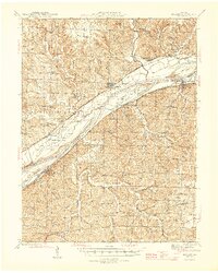
(19)- 1890 Map of Fulton
 1890 Fulton1890 Print · USGSMid-Missouri river life and railroad expansion come into focus in this late nineteenth-century survey. Genealogists and historians can trace old township lines and early river towns like Chamois, Danville, and the bustling county seat at Fulton.5 unique versions available
 - 1945 Map of Mokane
 1945 Mokane1945 Print · USGSThe Missouri River valley near the Osage confluence comes alive in this mid-forties survey, showing a landscape defined by river-rail commerce and rural townships. Genealogists can trace family footprints at Frankenstein, Bonnots Mill, and numerous rural sites like Metabor Cem or Acorn Sch.3 unique versions available
 - 1949 Map of Saint Louis
 1949 Saint Louis1949 Print · USGSGreater St. Louis and its surrounding river valleys are captured here just after the war, showing the metropolitan core and the rural Ozark fringe. Researchers can trace the sprawling rail network of the Wabash RR or locate landmarks like Meramec Caverns Airport and Scott Air Force Base.2 unique versions available
 - 1962 Map of St. Louis
 1962 St. Louis1962 Print · USGSThe mid-century gateway to the west shows the metropolitan expansion of St Louis alongside its critical river confluences. Genealogists and historians can trace the rail corridors of the Missouri Pacific RR and settlements from Fulton to De Soto.
 - 1963 Map of St. Louis, 1970 Print
 1963 St. Louis1970 Print · USGSSt. Louis and its surrounding river valleys are captured here during the peak of mid-century suburban expansion and industrial activity. Trace the historic rail routes of the Norfolk and Western Ry or locate the St Louis Ordnance Plant and early stretches of US Highway 66.4 unique versions available
 - 1966 Map of St. Louis
 1966 St. Louis1966 Print · USGSThe St. Louis metropolitan area and its surrounding river valleys are captured here during the mid-sixties era of suburban growth and industrial strength. Genealogists and historians can trace the foundations of local communities through sites like Old Pioneer Cem, Parks College, and the Jefferson Barracks Military Reservation.
 - 1975 Map of Mokane West, 1977 Print
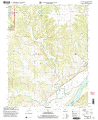
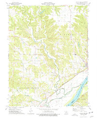 1975 Mokane West1977 Print · USGSCallaway County's riverfront and upland townships are documented here during the mid-seventies, showing the intersection of rail, river, and rural life. Researchers can trace the Missouri Kansas Texas line near Mokane or locate family sites like Oakley Ch and Riverview Cem.
 - 1975 Map of Mokane East, 1977 Print
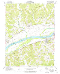 1975 Mokane East1977 Print · USGSThe Missouri River corridor in the mid-seventies shows a landscape defined by rail and river transport between Callaway and Osage counties. Genealogists can locate family landmarks like Hughes Cem and Stoner Cem or the riverside community of Chamois.2 unique versions available
 - 1985 Map of Fulton
 1985 Fulton1985 Print · USGSMid-Missouri was a hub of river commerce and rail travel in the mid-1980s, where towns like Fulton and Hermann anchored the river valley. Researchers can trace historic river islands like Rush Island or follow the path of the Missouri - Kansas - Texas Railroad.2 unique versions available
 - 2000 Map of Mokane East, 2003 Print
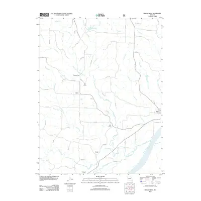
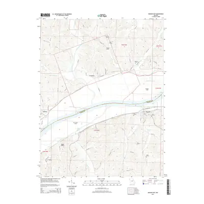
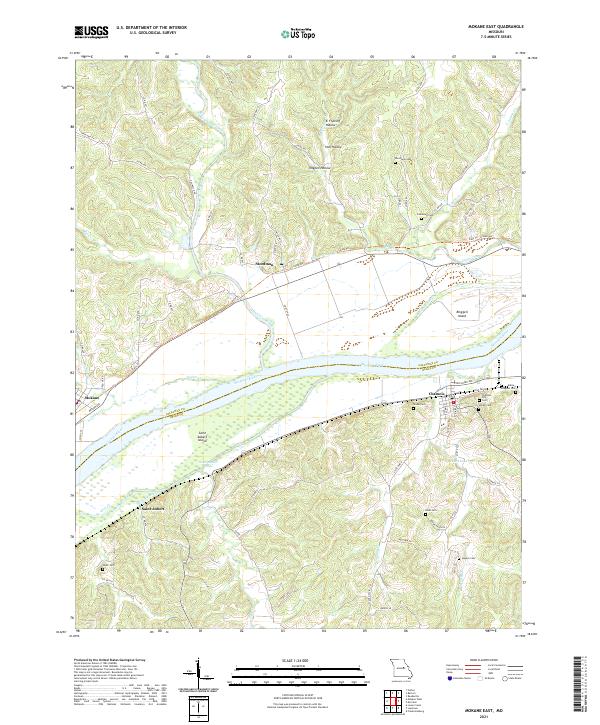
 2000 Mokane East2003 Print · USGSCallaway County at the turn of the millennium shows a landscape shaped by the Missouri River and the conversion of the old rail corridor. Local researchers can trace family sites at Middle River Cem, explore the community at Mokane, and locate old landmarks like Browns Ford.
 - 2000 Map of Mokane West, 2003 Print
 2000 Mokane West2003 Print · USGSMissouri River bottomlands and Callaway County uplands meet in this 2000 survey, showing the landscape just before the modern era. Genealogists and hikers can trace the Katy State Park Trail through Mokane or locate Mt Tabor Cem and the river crossing at Browns Ford.
 - 2012 Map of Mokane West, 2012 Print
 2012 Mokane West2012 Print · USGSCovers Mokane, including Liberty, Browns Ford, and other nearby areas
 - 2012 Map of Mokane East, 2012 Print
 2012 Mokane East2012 Print · USGSCovers Mokane, including Chamois, Steedman, and other nearby areas
 - 2015 Map of Mokane West, 2015 Print
 2015 Mokane West2015 Print · USGSCovers Mokane, including Liberty, Browns Ford, and other nearby areas
 - 2015 Map of Mokane East, 2015 Print
 2015 Mokane East2015 Print · USGSCovers Mokane, including Chamois, Steedman, and other nearby areas
 - 2017 Map of Mokane East, 2017 Print
 2017 Mokane East2017 Print · USGSCovers Mokane, including Chamois, Steedman, and other nearby areas
 - 2017 Map of Mokane West, 2017 Print
 2017 Mokane West2017 Print · USGSCovers Mokane, including Liberty, Browns Ford, and other nearby areas
 - 2021 Map of Mokane East, 2021 Print
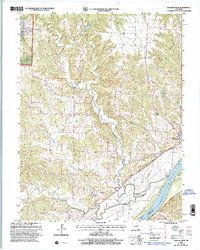
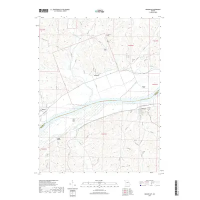
 2021 Mokane East2021 Print · USGSMissouri River communities and island geography are documented here just after the turn of the decade. Genealogists can locate family sites like Riverview Cem and Bode Cem or trace the riverfronts of Chamois and Saint Aubert.
 - 2021 Map of Mokane West, 2021 Print
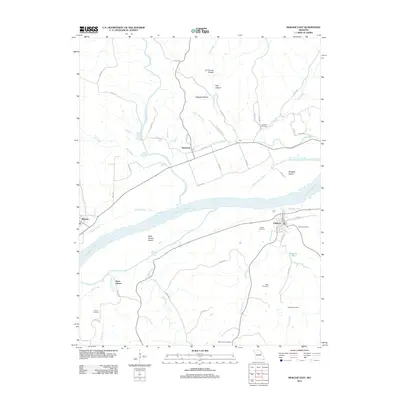
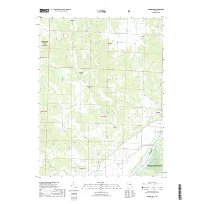
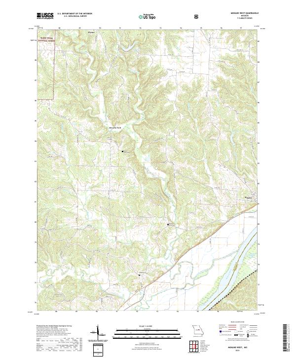 2021 Mokane West2021 Print · USGSCallaway County's rural landscape is captured here in the early twenty-first century, bounded by the river and national forest. Researchers can locate family sites near Mount Tabor Cem or trace the early paths around Browns Ford and Mokane.
End of results
Showing maps 1-19 of 19
Top cities near Mokane
- Jefferson City historical maps
- Fulton historical maps
- Holts Summit historical maps
- Linn historical maps
- Taos historical maps
- New Bloomfield historical maps
See more
Frequently asked questions
- What are the different types of historical maps available for Mokane?
- What is the oldest map of Mokane?
- Where can I purchase historical maps of Mokane for my home or office?
- Where can I download high-res historical maps of Mokane?
- Are there historical topographic maps available for Mokane?
- Is there historical aerial imagery available for Mokane?
- Where are historical maps of Mokane sourced from?