Old Maps of Merna, Missouri
Explore 12 old maps of Merna, spanning from 1888 to today. These high-resolution historic maps reveal how streets, neighborhoods, landmarks, and natural features evolved over time — perfect for genealogy, metal detecting, research, and local history exploration.
What you can do with these maps:
- See how Merna changed over time: Compare historical maps to modern-day views to trace roads, homesites, rail lines & more.
- View detailed metadata: Each map includes creators, publishers, year, scale, and archive source.
- Overlay maps with satellite & LiDAR: Visualize the past alongside modern tools to explore terrain & human change.
- Trusted historical sources: Maps sourced from the USGS, Library of Congress, and other archives.
- Access maps your way: View online, download high-res files, or order prints for personal or research use.
Start exploring old maps of Merna to uncover forgotten places, hidden landmarks, and the deep history beneath your feet.
Merna, MO maps
(12)- 1888 Map of Boonville
 1888 Boonville1888 Print · USGSCentral Missouri comes to life in the late nineteenth century as the river economy of Boonville meets the iron rails of the Missouri Pacific Railroad. Genealogists and historians can trace old community centers like Latham Store, Chouteau Springs, and the townships of Richland and Saline.5 unique versions available
 - 1947 Map of Jefferson City, 1949 Print
 1947 Jefferson City1949 Print · USGSCentral Missouri and the northern Ozarks come into focus in this late 1940s survey of the river-and-rail landscape. Genealogists and historians can trace the growth of Jefferson City and Sedalia or locate family roots near Bagnell Dam and the Lake of the Ozarks.
 - 1952 Map of Boonville, 1953 Print
 1952 Boonville1953 Print · USGSBoonville and the Missouri River valley are captured here in the early fifties during a period of shifting rural school populations. Researchers can trace institutional footprints like the Kemper Military Sch or find family history at Walnut Grove Cem and Clarks Fork.3 unique versions available
 - 1954 Map of Jefferson City
 1954 Jefferson City1954 Print · USGSCentral Missouri in the early postwar years showcases a landscape defined by the winding Lake of the Ozarks and the state capital at Jefferson City. Researchers can trace the mid-century rail networks of the Missouri Pacific RR and locate rural communities like Tuscumbia, St Elizabeth, and St Anthony.2 unique versions available
 - 1955 Map of Jefferson City, 1967 Print
 1955 Jefferson City1967 Print · USGSCentral Missouri in the mid-fifties is defined by the winding Missouri River and the expanding reach of Lake of the Ozarks. Researchers can trace the rail corridors of the Missouri Pacific or locate the early footprint of Whiteman AFB and Jefferson City.4 unique versions available
 - 1958 Map of Jefferson City
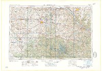 1958 Jefferson City1958 Print · USGSCentral Missouri in the late fifties shows a region transforming through the growth of Whiteman Air Force Base and the Lake of the Ozarks. Researchers can trace rail lines like the Missouri Pacific or find family roots at Enloe Cemetery and Mount Pleasant Cem.
 - 1959 Map of Jefferson City
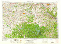 1959 Jefferson City1959 Print · USGSCentral Missouri is captured during the mid-fifties as the river economy and rail networks like the Missouri Pacific met the rise of the automobile. Local researchers can trace family landmarks and rural infrastructure from the Lake of the Ozarks up to Providence Cemetery and Knob Noster State Park.
 - 1982 Map of Jefferson City, 1983 Print
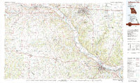 1982 Jefferson City1983 Print · USGSMid-Missouri in the early eighties shows the corridor between Columbia and Jefferson City during a period of modern growth. Genealogists and historians can trace the Missouri Pacific Railroad route, family plots at Memorial Park Cem, and landmarks like Osage City and Lupus.
 - 2011 Map of Boonville, 2011 Print
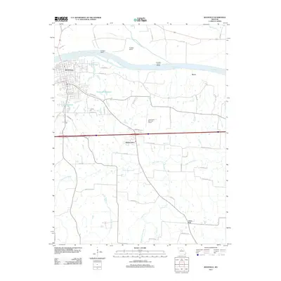 2011 Boonville2011 Print · USGSBoonville and the riverfront of Franklin Island are captured here during the early twenty-first century as the area continued to balance its river heritage with modern growth. Genealogists and local historians can trace family-named roads and rural settlements like Windsor Place, Clarks Fork, and Merna.
 - 2015 Map of Boonville, 2015 Print
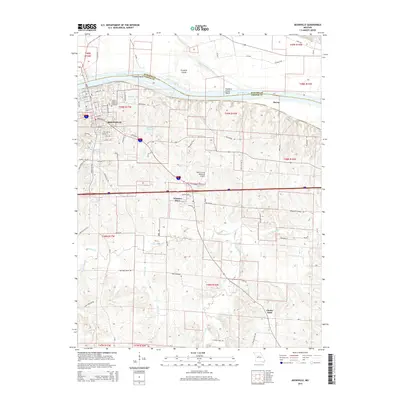 2015 Boonville2015 Print · USGSBoonville and the Missouri River bluffs are captured here in the mid-2010s, showing the intersection of river history and modern development. Researchers can trace local genealogy at Walnut Grove Cemetery or follow the path of the Katy Trl through Boonville and toward Windsor Place.
 - 2017 Map of Boonville, 2017 Print
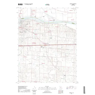 2017 Boonville2017 Print · USGSBoonville and the riverfront in Cooper County are mapped here in the early twenty-first century as the landscape balances its river heritage with modern expansion. Researchers can trace local landmarks like Walnut Grove Cemetery or follow the winding Petite Saline Creek toward settlements like Clarks Fork.
 - 2021 Map of Boonville, 2021 Print
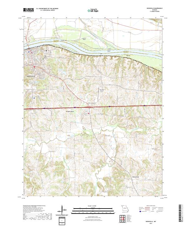 2021 Boonville2021 Print · USGSBoonville and the Missouri River bluffs appear here in the early twenty-first century, showing the intersection of riverfront history and modern transport. Genealogists and local historians can trace the Cooper County Courthouse, Walnut Grove Cem, and small outlying locales like Clarks Fork.
End of results
Showing maps 1-12 of 12
Top cities near Merna
- Columbia historical maps
- Boonville historical maps
- Fayette historical maps
- New Franklin historical maps
- Jamestown historical maps
- Bunceton historical maps
See more
Frequently asked questions
- What are the different types of historical maps available for Merna?
- What is the oldest map of Merna?
- Where can I purchase historical maps of Merna for my home or office?
- Where can I download high-res historical maps of Merna?
- Are there historical topographic maps available for Merna?
- Is there historical aerial imagery available for Merna?
- Where are historical maps of Merna sourced from?