2000s (21st Century) Maps of Bigelow, Missouri
Explore 6 historic maps of Bigelow from the 2000s (21st Century). These maps offer a rare glimpse into what life looked like during the 2000s — showing old roads, neighborhoods, homes, and landmarks that have changed or disappeared over time.
Whether you're researching your family's past, planning a metal detecting trip, or studying how Bigelow's landscape evolved across the 2000s, these high-resolution maps are a powerful tool for exploring the history of this region.
- Focus on a specific era: All maps on this page are from the 2000s, giving you a focused view of this time period.
- See what’s changed: Compare century-old streets, trails, and buildings to today's modern landscape using overlays and satellite layers.
- Research with precision: Use these maps for genealogy, historical research, land use analysis, or educational projects.
- View, download, or print: Maps are fully viewable online in high resolution, and can be downloaded or printed for your own records.
Start exploring Bigelow's history through authentic maps from the 2000s. This is your window into the past.
Bigelow, MO maps
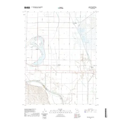
(6)- 2010 Map of Big Lake, 2010 Print
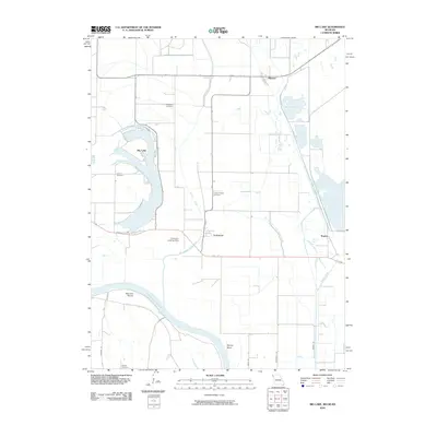 2010 Big Lake2010 Print · USGSCovers Bigelow, including Big Lake, Fortescue, and other nearby areas
 - 2012 Map of Big Lake, 2012 Print
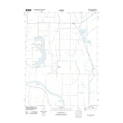 2012 Big Lake2012 Print · USGSCovers Bigelow, including Big Lake, Fortescue, and other nearby areas
 - 2015 Map of Big Lake, 2015 Print
 2015 Big Lake2015 Print · USGSCovers Bigelow, including Big Lake, Fortescue, and other nearby areas
 - 2017 Map of Big Lake, 2017 Print
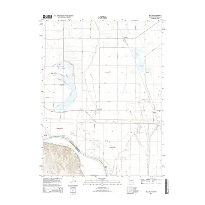
 2017 Big Lake2017 Print · USGSCovers Bigelow, including Big Lake, Fortescue, and other nearby areas
 - 2021 Map of Big Lake, 2021 Print
 2021 Big Lake2021 Print · USGSCovers Bigelow, including Big Lake, Fortescue, and other nearby areas
 - 2023 Map of Big Lake, 2023 Print
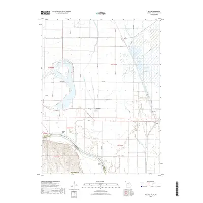
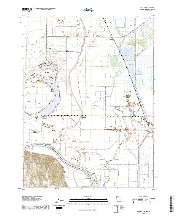 2023 Big Lake2023 Print · USGSThe Missouri River floodplain near the Nebraska border shows a landscape of former river channels and reclaimed marshlands in the early 2020s. Genealogists can locate rural burial grounds like Sauer Cem and Partlow Cem or trace the legacy of the BNSF Railway through Bigelow.
End of results
Showing maps 1-6 of 6
Top cities near Bigelow
- Mound City historical maps
- Oregon historical maps
- Fairfax historical maps
- Skidmore historical maps
- Forest City historical maps
- Maitland historical maps
See more
Frequently asked questions
- What are the different types of historical maps available for Bigelow?
- What is the oldest map of Bigelow?
- Where can I purchase historical maps of Bigelow for my home or office?
- Where can I download high-res historical maps of Bigelow?
- Are there historical topographic maps available for Bigelow?
- Is there historical aerial imagery available for Bigelow?
- Where are historical maps of Bigelow sourced from?