Old Maps of Homeland, Missouri
Explore 12 old maps of Homeland, spanning from 1944 to today. These high-resolution historic maps reveal how streets, neighborhoods, landmarks, and natural features evolved over time — perfect for genealogy, metal detecting, research, and local history exploration.
What you can do with these maps:
- See how Homeland changed over time: Compare historical maps to modern-day views to trace roads, homesites, rail lines & more.
- View detailed metadata: Each map includes creators, publishers, year, scale, and archive source.
- Overlay maps with satellite & LiDAR: Visualize the past alongside modern tools to explore terrain & human change.
- Trusted historical sources: Maps sourced from the USGS, Library of Congress, and other archives.
- Access maps your way: View online, download high-res files, or order prints for personal or research use.
Start exploring old maps of Homeland to uncover forgotten places, hidden landmarks, and the deep history beneath your feet.
Homeland, MO maps
(12)- 1944 Map of West Plains, 1957 Print
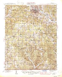
 1944 West Plains1957 Print · USGSThe West Plains region at the close of the Second World War remains a landscape of rail-connected commerce and scattered rural school districts. Genealogists can locate family names at Saddle Cem, Neubarger Sch, or the rural community of Lanton.2 unique versions available
 - 1946 Map of West Plains
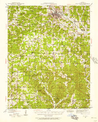
 1946 West Plains1946 Print · USGSHowell County's rolling uplands and rural communities are captured here in the mid-1940s, centered on the growing hub of West Plains. Researchers can trace dozens of vanished country school sites and family-linked landmarks like Pleasant Hill Ch, Mc Elmery Cem, and Moody.2 unique versions available
 - 1957 Map of Poplar Bluff, 1968 Print
 1957 Poplar Bluff1968 Print · USGSThe Missouri-Arkansas border region is captured here as the timber and rail industries shaped the Ozark foothills. Genealogists and historians can trace the Missouri Pacific Railroad through river towns like Pocahontas, Greenville, and Van Buren.3 unique versions available
 - 1959 Map of Poplar Bluff
 1959 Poplar Bluff1959 Print · USGSThe Missouri Ozarks and Arkansas borderlands meet in this late 1950s study of the region's diverse terrain and rail-fed towns. Researchers can trace the path of the Missouri Pacific Railroad through Poplar Bluff or locate smaller settlements like Birch Tree and Myrtle.
 - 1960 Map of Poplar Bluff
 1960 Poplar Bluff1960 Print · USGSSoutheast Missouri and Northeast Arkansas are captured here during the post-war era, showing the transition from the Ozark highlands to the Delta. Genealogists and historians can trace rail corridors like the St. Louis Southwestern RR and remote settlements such as Birch Tree and Warm Springs.
 - 1976 Map of West Plains NW, 1977 Print
 1976 West Plains NW1977 Print · USGSHowell County agriculture and timber tracts are seen in detail in the mid-1970s through this aerial survey. Local researchers can trace the rural landscape surrounding West Plains and the settlement of South Fork along the Spring River.
 - 1983 Map of South Fork, 1984 Print
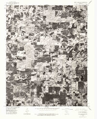
 1983 South Fork1984 Print · USGSThe rural communities south of West Plains are documented here during the early eighties, showing a landscape defined by traditional Ozark farmsteads and creek valleys. Genealogists can locate family landmarks like Fairview Sch, Spring Creek Ch, and the small settlement of Homeland.
 - 1984 Map of West Plains
 1984 West Plains1984 Print · USGSThe Missouri Ozarks are mapped here in the mid-1980s, centered on the regional hub of West Plains and the river corridors of the Eleven Point River. Trace the old rail lines and timber towns of Willow Springs, Mountain View, and Birch Tree through the Mark Twain National Forest.2 unique versions available
 - 2012 Map of South Fork, 2012 Print
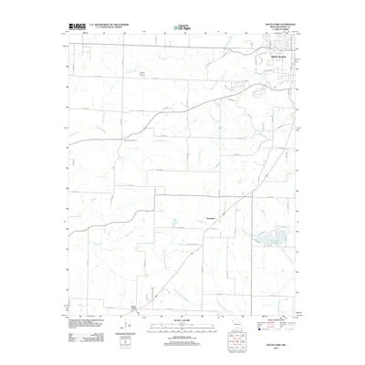 2012 South Fork2012 Print · USGSCovers Homeland, including West Plains, South Fork, and other nearby areas
 - 2015 Map of South Fork, 2015 Print
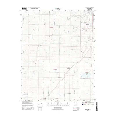 2015 South Fork2015 Print · USGSCovers Homeland, including West Plains, South Fork, and other nearby areas
 - 2017 Map of South Fork, 2017 Print
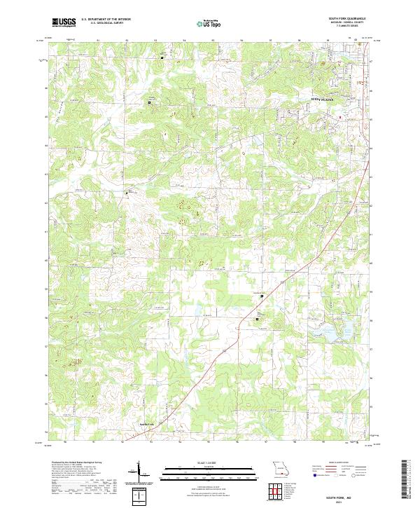
 2017 South Fork2017 Print · USGSCovers Homeland, including West Plains, South Fork, and other nearby areas
 - 2021 Map of South Fork, 2021 Print
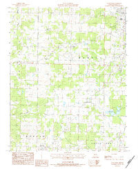
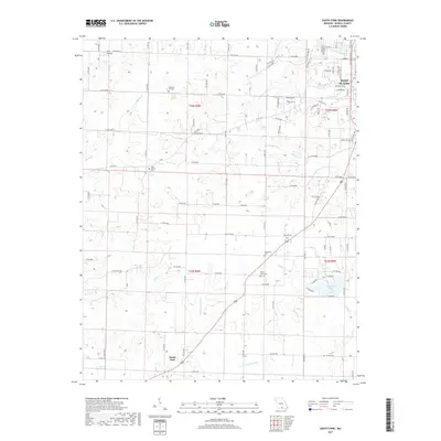
 2021 South Fork2021 Print · USGSHowell County at the start of the 2020s shows the suburban expansion of West Plains meeting the traditional farmsteads of South Fork. Researchers can trace local heritage through several burial sites like Pleasant Hill Cem and Old Homeland Cem along the S Fork Spring River.
End of results
Showing maps 1-12 of 12
Top cities near Homeland
Frequently asked questions
- What are the different types of historical maps available for Homeland?
- What is the oldest map of Homeland?
- Where can I purchase historical maps of Homeland for my home or office?
- Where can I download high-res historical maps of Homeland?
- Are there historical topographic maps available for Homeland?
- Is there historical aerial imagery available for Homeland?
- Where are historical maps of Homeland sourced from?