2020s Maps of Mountain View, Missouri
Explore 2 historic maps of Mountain View from the 2020s. These maps offer a rare glimpse into what life looked like during the 2020s — showing old roads, neighborhoods, homes, and landmarks that have changed or disappeared over time.
Whether you're researching your family's past, planning a metal detecting trip, or studying how Mountain View's landscape evolved across the 2020s, these high-resolution maps are a powerful tool for exploring the history of this region.
- Focus on a specific era: All maps on this page are from the 2020s, giving you a focused view of this time period.
- See what’s changed: Compare century-old streets, trails, and buildings to today's modern landscape using overlays and satellite layers.
- Research with precision: Use these maps for genealogy, historical research, land use analysis, or educational projects.
- View, download, or print: Maps are fully viewable online in high resolution, and can be downloaded or printed for your own records.
Start exploring Mountain View's history through authentic maps from the 2020s. This is your window into the past.
Mountain View, MO maps
(2)- 2021 Map of Pine Crest, 2021 Print
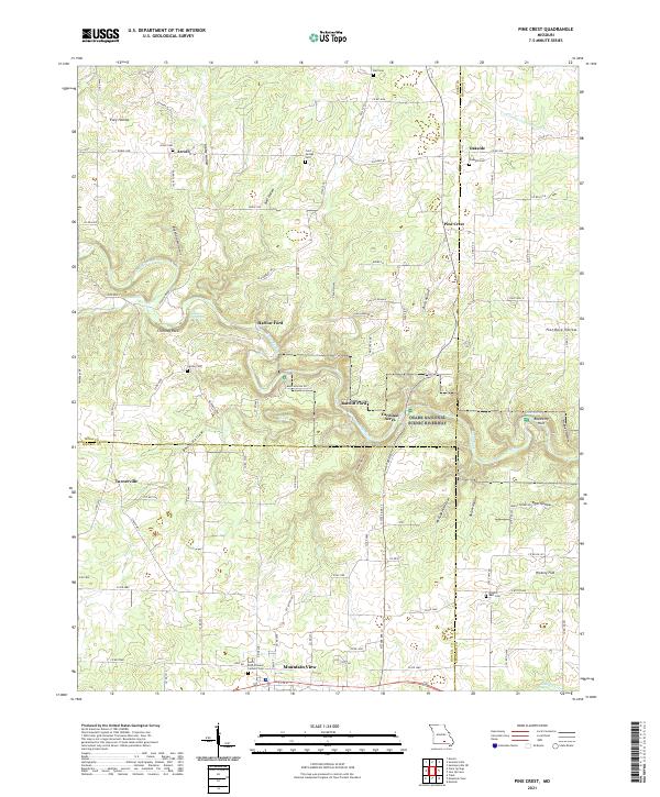 2021 Pine Crest2021 Print · USGSThe Missouri Ozarks are captured here in the early twenty-first century, centered on the river valleys of Texas and Shannon Counties. Genealogists and hikers can trace old river crossings like Ratcliff Ford or locate several remote burying grounds including Arroll Cem and Cold Springs Cem.
 - 2021 Map of Mountain View, 2021 Print
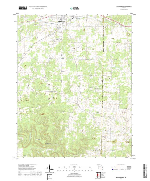 2021 Mountain View2021 Print · USGSThe northern Ozarks come into focus in the early 2020s as Mountain View thrives along its central transportation corridors. Local historians can trace the town's expansion toward Mountain View Airport and locate several rural burial grounds like Chapel Hill Cem and Ebenezer Cem.
End of results
Showing maps 1-2 of 2
Top cities near Mountain View
Frequently asked questions
- What are the different types of historical maps available for Mountain View?
- What is the oldest map of Mountain View?
- Where can I purchase historical maps of Mountain View for my home or office?
- Where can I download high-res historical maps of Mountain View?
- Are there historical topographic maps available for Mountain View?
- Is there historical aerial imagery available for Mountain View?
- Where are historical maps of Mountain View sourced from?