Old Maps of Peace Valley, Missouri for Metal Detecting
Plan your next treasure hunt with 11 historic maps of Peace Valley. Find old homesites, ghost towns, trails, and gathering spots that may be lost to time — perfect for identifying promising metal detecting locations.
- Locate forgotten sites: Uncover places like long-lost settlements, abandoned rail lines, or gathering spots.
- Plan better hunts: Use map overlays combined with LiDAR or satellite views to narrow in on historically rich areas.
- Made for detectorists: Thousands of hobbyists use these maps to discover relics, coins, and hidden history.
Use these historic maps to boost your research and find new opportunities beneath the surface of Peace Valley.
Peace Valley, MO maps
(11)- 1945 Map of Montier, 1960 Print
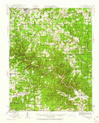 1945 Montier1960 Print · USGSThe Missouri Ozarks during the mid-1940s are documented here, showing a landscape of small settlements and river valleys just as the post-war era began. Local historians can trace dozens of country schools and churches, from Gravel Ridge Sch to the Hilltop Mission and the remote Sherwood Reese Ranch.2 unique versions available
 - 1948 Map of Montier
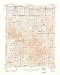 1948 Montier1948 Print · USGSPost-war Howell, Shannon, and Oregon Counties come to life here, showing the ridge-and-hollow social network of the Missouri Ozarks. Genealogists can trace family names through dozens of rural landmarks like Marble Hill Sch, Bennett Chapel, and the Brown Cem.2 unique versions available
 - 1957 Map of Poplar Bluff, 1968 Print
 1957 Poplar Bluff1968 Print · USGSThe Missouri-Arkansas border region is captured here as the timber and rail industries shaped the Ozark foothills. Genealogists and historians can trace the Missouri Pacific Railroad through river towns like Pocahontas, Greenville, and Van Buren.3 unique versions available
 - 1959 Map of Poplar Bluff
 1959 Poplar Bluff1959 Print · USGSThe Missouri Ozarks and Arkansas borderlands meet in this late 1950s study of the region's diverse terrain and rail-fed towns. Researchers can trace the path of the Missouri Pacific Railroad through Poplar Bluff or locate smaller settlements like Birch Tree and Myrtle.
 - 1960 Map of Poplar Bluff
 1960 Poplar Bluff1960 Print · USGSSoutheast Missouri and Northeast Arkansas are captured here during the post-war era, showing the transition from the Ozark highlands to the Delta. Genealogists and historians can trace rail corridors like the St. Louis Southwestern RR and remote settlements such as Birch Tree and Warm Springs.
 - 1984 Map of West Plains
 1984 West Plains1984 Print · USGSThe Missouri Ozarks are mapped here in the mid-1980s, centered on the regional hub of West Plains and the river corridors of the Eleven Point River. Trace the old rail lines and timber towns of Willow Springs, Mountain View, and Birch Tree through the Mark Twain National Forest.2 unique versions available
 - 1986 Map of Peace Valley, 1987 Print
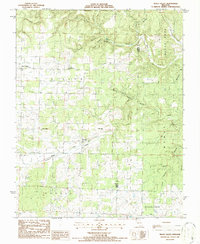 1986 Peace Valley1987 Print · USGSOzark plateau life near the Howell and Oregon county line is documented here in the mid-1980s. Genealogists can trace local landmarks like Pilgrims Rest Ch, the settlement of Fanchon, and industrial markers such as Kilns near Peace Valley.
 - 2011 Map of Peace Valley, 2011 Print
 2011 Peace Valley2011 Print · USGSCovers Peace Valley, including Fanchon, Howell County, and other nearby areas
 - 2015 Map of Peace Valley, 2015 Print
 2015 Peace Valley2015 Print · USGSCovers Peace Valley, including Fanchon, Howell County, and other nearby areas
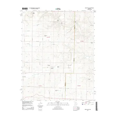
 - 2017 Map of Peace Valley, 2017 Print
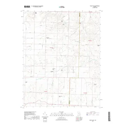 2017 Peace Valley2017 Print · USGSCovers Peace Valley, including Fanchon, Howell County, and other nearby areas
 - 2021 Map of Peace Valley, 2021 Print
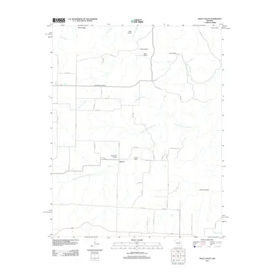
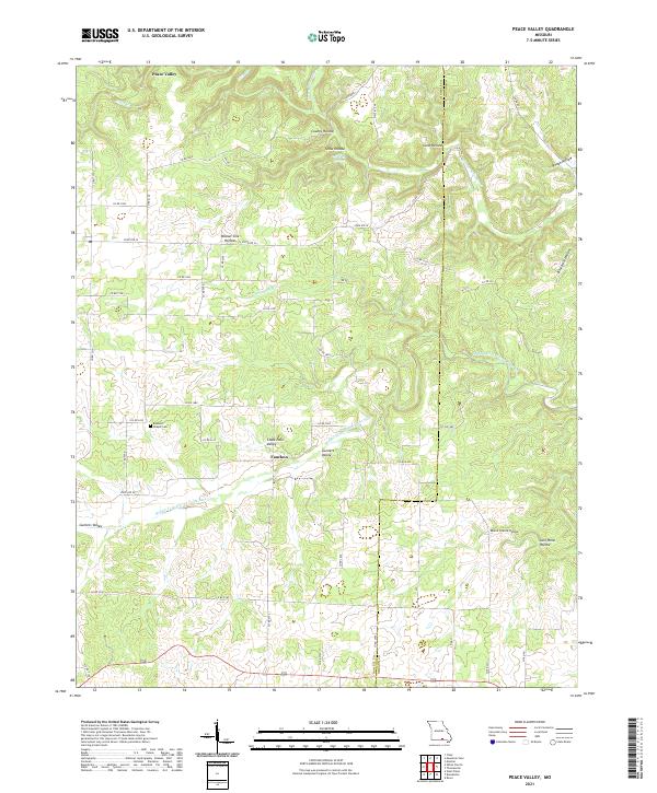 2021 Peace Valley2021 Print · USGSHowell and Oregon counties at the start of the 2020s show a landscape of deep hollows and the spring-fed Eleven Point River system. Genealogists and local historians can trace family locations near Bennett Chapel Cem or the settlements of Peace Valley and Fanchon.
End of results
Showing maps 1-11 of 11
Top cities near Peace Valley
- West Plains historical maps
- Mountain View historical maps
- Willow Springs historical maps
- Brandsville historical maps
Frequently asked questions
- What are the different types of historical maps available for Peace Valley?
- What is the oldest map of Peace Valley?
- Where can I purchase historical maps of Peace Valley for my home or office?
- Where can I download high-res historical maps of Peace Valley?
- Are there historical topographic maps available for Peace Valley?
- Is there historical aerial imagery available for Peace Valley?
- Where are historical maps of Peace Valley sourced from?