Old Maps of Cedar Hill, Meramec Township
Explore 19 old maps of Cedar Hill, spanning from 1901 to today. These high-resolution historic maps reveal how streets, neighborhoods, landmarks, and natural features evolved over time — perfect for genealogy, metal detecting, research, and local history exploration.
What you can do with these maps:
- See how Cedar Hill changed over time: Compare historical maps to modern-day views to trace roads, homesites, rail lines & more.
- View detailed metadata: Each map includes creators, publishers, year, scale, and archive source.
- Overlay maps with satellite & LiDAR: Visualize the past alongside modern tools to explore terrain & human change.
- Trusted historical sources: Maps sourced from the USGS, Library of Congress, and other archives.
- Access maps your way: View online, download high-res files, or order prints for personal or research use.
Start exploring old maps of Cedar Hill to uncover forgotten places, hidden landmarks, and the deep history beneath your feet.
Cedar Hill, Meramec Township maps
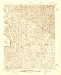
(19)- 1901 Map of De Soto
 1901 De Soto1901 Print · USGSJefferson and Franklin Counties at the turn of the century show a landscape defined by industrial milling and river fords. Genealogists can trace early homesteads near Hillsboro or industrial sites like Vulcan Mine and Byrnes Mill.5 unique versions available
 - 1930 Map of Pacific SE
 1930 Pacific SE1930 Print · USGSJefferson County rural life in the early 1930s is captured here through its network of country schoolhouses and river valleys. Researchers can trace historic routes like Le May Ferry Road and find old settlements such as Belews and Goldman.2 unique versions available
 - 1938 Map of Cedar Hill
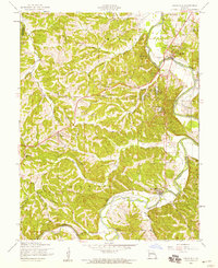
 1938 Cedar Hill1938 Print · USGSJefferson County before the Second World War was a network of river-bottom mills and ridge-top schools connected by winding country roads. Genealogists can trace family footprints at Morse Mill, the MCCULLOCH FORD crossing, and rural schools like Bethlehem Sch.2 unique versions available
 - 1940 Map of Cedar Hill
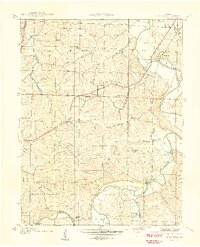 1940 Cedar Hill1940 Print · USGSJefferson County was a landscape of small river towns and hilltop schoolhouses just before the 1940s. Genealogists and local historians can trace family roots through landmarks like St Martins Ch, Morse Mill, and the many rural schools including Bethlehem Sch.
 - 1949 Map of Saint Louis
 1949 Saint Louis1949 Print · USGSGreater St. Louis and its surrounding river valleys are captured here just after the war, showing the metropolitan core and the rural Ozark fringe. Researchers can trace the sprawling rail network of the Wabash RR or locate landmarks like Meramec Caverns Airport and Scott Air Force Base.2 unique versions available
 - 1954 Map of Belew Creek, 1959 Print
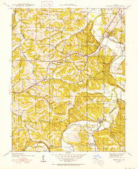
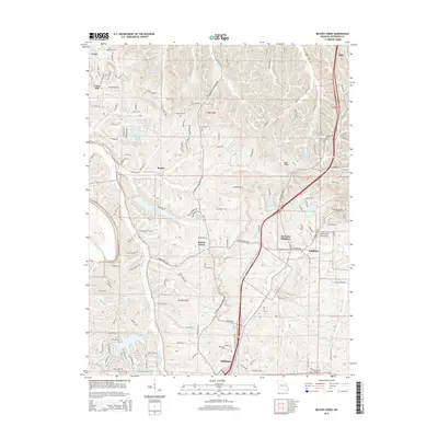
 1954 Belew Creek1959 Print · USGSJefferson County hills in the mid-1950s are defined by winding waterways and ridge-top settlements. Genealogists can trace the rural landscape around Lake Tishomingo, Goldman, and local landmarks like Glade Chapel and the Lookout Tower.5 unique versions available
 - 1954 Map of Cedar Hill, 1959 Print
 1954 Cedar Hill1959 Print · USGSThe Big River valley of Jefferson County is captured here in the mid-fifties, showing the rural communities before suburban expansion. Researchers can find many lost local landmarks, including Maple Grove Sch, the 101 Ranch, and Skullers Cem.5 unique versions available
 - 1962 Map of St. Louis
 1962 St. Louis1962 Print · USGSThe mid-century gateway to the west shows the metropolitan expansion of St Louis alongside its critical river confluences. Genealogists and historians can trace the rail corridors of the Missouri Pacific RR and settlements from Fulton to De Soto.
 - 1963 Map of St. Louis, 1970 Print
 1963 St. Louis1970 Print · USGSSt. Louis and its surrounding river valleys are captured here during the peak of mid-century suburban expansion and industrial activity. Trace the historic rail routes of the Norfolk and Western Ry or locate the St Louis Ordnance Plant and early stretches of US Highway 66.4 unique versions available
 - 1966 Map of St. Louis
 1966 St. Louis1966 Print · USGSThe St. Louis metropolitan area and its surrounding river valleys are captured here during the mid-sixties era of suburban growth and industrial strength. Genealogists and historians can trace the foundations of local communities through sites like Old Pioneer Cem, Parks College, and the Jefferson Barracks Military Reservation.
 - 1985 Map of Festus, 1987 Print
 1985 Festus1987 Print · USGSThe Mississippi River corridor and Ozark foothills appear here in the mid-1980s, documenting a landscape of industrial river towns and forest preserves. Trace the development of Festus, Crystal City, and De Soto or locate sites like Mastodon State Park.
 - 2012 Map of Belews Creek, 2012 Print
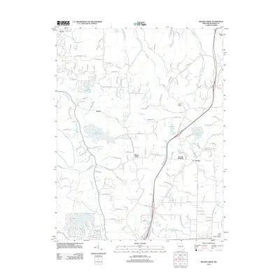 2012 Belews Creek2012 Print · USGSCovers Cedar Hill, including Hillsboro, Meramec Township, and other nearby areas
 - 2012 Map of Cedar Hill, 2012 Print
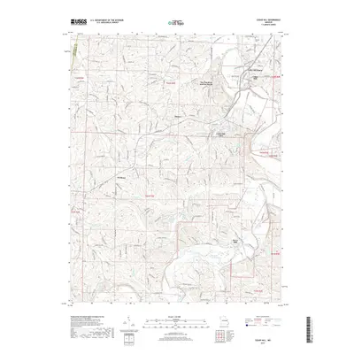
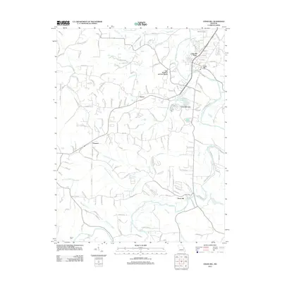 2012 Cedar Hill2012 Print · USGSCovers Cedar Hill, including Cedar Hill Lakes, Meramec Township, and other nearby areas
 - 2015 Map of Cedar Hill, 2015 Print
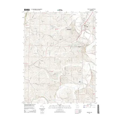 2015 Cedar Hill2015 Print · USGSCovers Cedar Hill, including Cedar Hill Lakes, Meramec Township, and other nearby areas
 - 2015 Map of Belews Creek, 2015 Print
 2015 Belews Creek2015 Print · USGSCovers Cedar Hill, including Hillsboro, Meramec Township, and other nearby areas
 - 2017 Map of Cedar Hill, 2017 Print
 2017 Cedar Hill2017 Print · USGSCovers Cedar Hill, including Cedar Hill Lakes, Meramec Township, and other nearby areas
 - 2017 Map of Belews Creek, 2017 Print
 2017 Belews Creek2017 Print · USGSCovers Cedar Hill, including Hillsboro, Meramec Township, and other nearby areas
 - 2021 Map of Belews Creek, 2021 Print
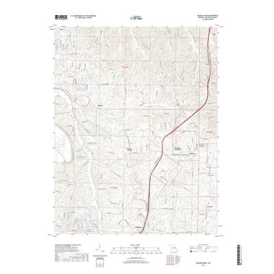
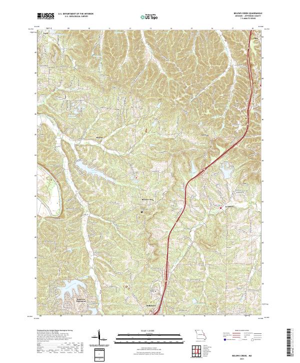 2021 Belews Creek2021 Print · USGSJefferson County’s shifting rural and suburban landscape is captured here in the early 2020s, documenting the area between Hillsboro and Otto. Researchers can trace the development of Raintree Plantation, locate the Glade Chapel Cem, and find the Jefferson College campus.
 - 2021 Map of Cedar Hill, 2021 Print
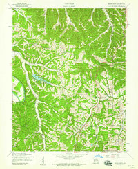
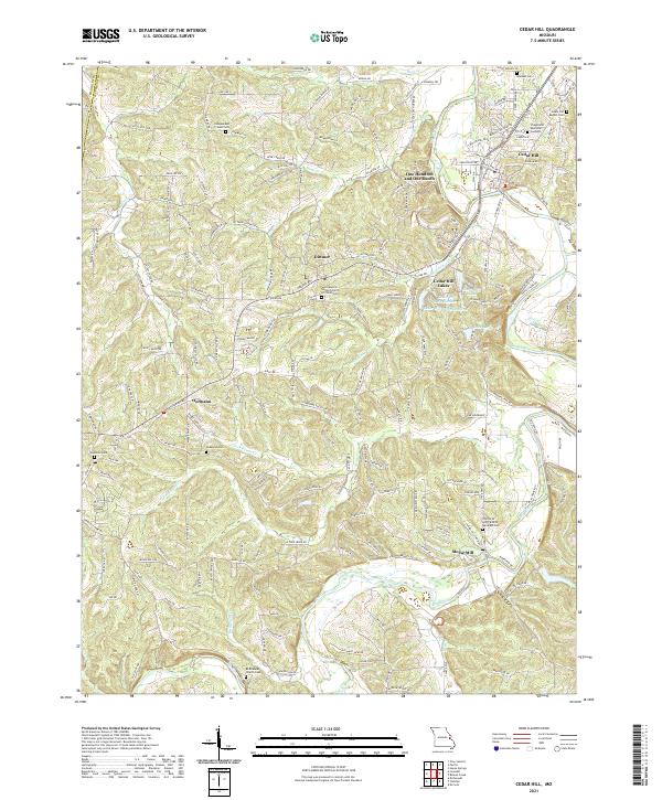 2021 Cedar Hill2021 Print · USGSJefferson County hill country and the Big River valley are shown here in recent years, highlighting a landscape of deep-rooted rural communities. Researchers can trace family history at the Wideman Cem, Bethlehem Church Cem, or the namesake settlement of Morse Mill.
End of results
Showing maps 1-19 of 19
Top cities near Cedar Hill
- Wildwood historical maps
- Ballwin historical maps
- Kirkwood historical maps
- Arnold historical maps
- Manchester historical maps
- Festus historical maps
See more
Frequently asked questions
- What are the different types of historical maps available for Cedar Hill?
- What is the oldest map of Cedar Hill?
- Where can I purchase historical maps of Cedar Hill for my home or office?
- Where can I download high-res historical maps of Cedar Hill?
- Are there historical topographic maps available for Cedar Hill?
- Is there historical aerial imagery available for Cedar Hill?
- Where are historical maps of Cedar Hill sourced from?