
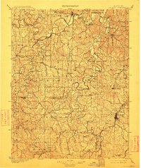
1901 Map of De Soto
USGS Topo · Published 1901About this map
The Meramec River and Big River dominate the landscape of eastern Missouri in this turn-of-the-century survey, revealing a region defined by its waterway crossings and industrial heritage. The density of named river fords, such as Big Eddy Ford, Fishtrap Ford, and Hunters Ford, highlights the localized travel patterns of the late 19th century before modern bridge infrastructure became commonplace.
Find a feature on this map
129 named features on this map. Tap any name to fly to it.
Don’t see what you’re looking for? This feature index may not catch every label — zoom into the map to look around manually.
Map Details
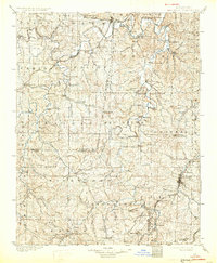
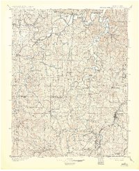
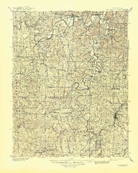
Editions of this 1901 De Soto Map
5 editions found
Other maps of this area

1890 · Hermann
USGS Topo · 1:125,000

1903 · O'Fallon
USGS Topo · 1:125,000

1903 · Sullivan
USGS Topo · 1:125,000

1904 · Farmington
USGS Topo · 1:62,500

1905 · Bonneterre
USGS Topo · 1:62,500

1906 · Potosi
USGS Topo · 1:62,500

1906 · Farmington
USGS Topo · 1:62,500

1912 · Kimmswick
USGS Topo · 1:62,500

1915 · Crystal City
USGS Topo · 1:62,500

1916 · Kimmswick
USGS Topo · 1:62,500