
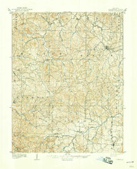
1906 Map of Potosi
USGS Topo · Published 1906About this map
Potosi anchors the landscape of Washington County in the early twentieth century, serving as a hub for the St L I M and S RR line that cuts through the northeast. This Missouri mining and timber region is defined by a dense network of river drainages and hollows, where small settlements like Belgrade and Caledonia are situated along the Big River and its many tributaries. The terrain is marked by prominent landmarks such as Little Pilot Knob, which overlooks a rural economy supported by local industry at sites like Hunters Mill.
Find a feature on this map
42 named features on this map. Tap any name to fly to it.
Don’t see what you’re looking for? This feature index may not catch every label — zoom into the map to look around manually.
Map Details
Editions of this 1906 Potosi Map
3 editions found
Other maps of this area

1901 · De Soto
USGS Topo · 1:125,000

1903 · Sullivan
USGS Topo · 1:125,000

1905 · Bonneterre
USGS Topo · 1:62,500

1924 · Edgehill
USGS Topo · 1:62,500

1926 · Edgehill
USGS Topo · 1:62,500

1937 · Ironton
USGS Topo · 1:48,000

1937 · Tiff
USGS Topo · 1:24,000

1939 · Tiff
USGS Topo · 1:24,000

1943 · Berryman
USGS Topo · 1:62,500

1943 · Boss
USGS Topo · 1:62,500