
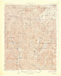
1926 Map of Edgehill
USGS Topo · Published 1926About this map
Maxwells Mill and the scattered mountain settlements of the St. Francois region characterize this mid-1920s survey. The landscape is defined by the headwaters of the Black River and its intricate tributaries like Ottery Creek and Shut-in Creek, which carve through prominent peaks including Tom Sauk Mountain and Bell Mountain. This era shows a high density of rural infrastructure, with numerous family and community landmarks such as Cedar Grove School, Mountainville School, and Beulah Land Church serving the residents of Kaolin and Belgrade.
Find a feature on this map
63 named features on this map. Tap any name to fly to it.
Don’t see what you’re looking for? This feature index may not catch every label — zoom into the map to look around manually.
Map Details
Editions of this 1926 Edgehill Map
3 editions found
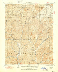
Other maps of this area

1905 · Bonneterre
USGS Topo · 1:62,500

1906 · Potosi
USGS Topo · 1:62,500

1924 · Edgehill
USGS Topo · 1:62,500

1926 · Des Arc
USGS Topo · 1:62,500

1929 · Des Arc
USGS Topo · 1:62,500

1937 · Ironton
USGS Topo · 1:48,000

1943 · Berryman
USGS Topo · 1:62,500

1943 · Lesterville
USGS Topo · 1:62,500

1943 · Boss
USGS Topo · 1:62,500

1944 · Corridon
USGS Topo · 1:62,500