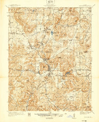
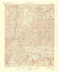
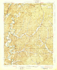
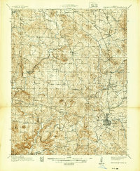
1937 Map of Ironton
USGS Topo · Published 1937About this map
Ironton and Arcadia serve as the central hubs of this late-1930s survey, positioned in a valley surrounded by the notable peaks of the St. Francois Mountains. The landscape is heavily influenced by the presence of the Missouri Pacific railroad, which snakes through the corridor between Pilot Knob and Iron Mountain. Evidence of early mining and industrial legacy is visible at Iron Mountain Lake and the Devils Toll Gate. The map also captures several rural educational and religious sites, such as the White Sch and Mt Hope Ch, alongside specialized landmarks like the U S Rifle Range. Moving south, the terrain becomes increasingly steep at Taum Sauk Mountain and the narrow passage of Royal Gorge, illustrating the geographic constraints that shaped local settlement and transportation routes during this era.
Find a feature on this map
94 named features on this map. Tap any name to fly to it.
Don’t see what you’re looking for? This feature index may not catch every label — zoom into the map to look around manually.
Map Details
Editions of this 1937 Ironton Map
This is the sole edition of this map. No revisions or reprints were ever made.
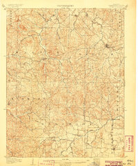
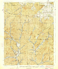
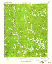
Other maps of this area

1904 · Farmington
USGS Topo · 1:62,500

1905 · Bonneterre
USGS Topo · 1:62,500
1906 · Potosi
USGS Topo · 1:62,500

1906 · Farmington
USGS Topo · 1:62,500

1924 · Edgehill
USGS Topo · 1:62,500
1926 · Edgehill
USGS Topo · 1:62,500
1926 · Des Arc
USGS Topo · 1:62,500
1929 · Des Arc
USGS Topo · 1:62,500
1930 · Coldwater
USGS Topo · 1:62,500
1939 · Fredericktown
USGS Topo · 1:48,000