
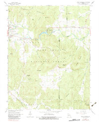
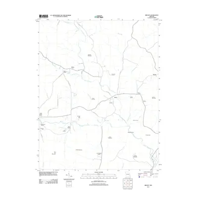
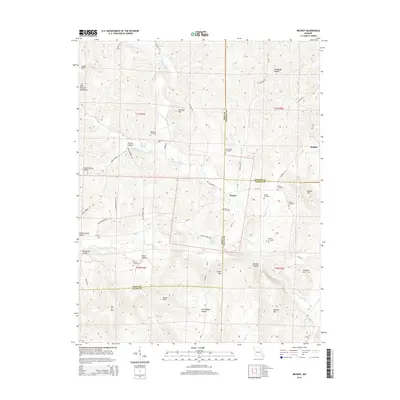
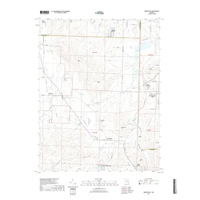
1924 Map of Edgehill
USGS Topo · Published 1962About this map
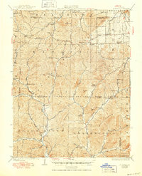
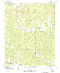
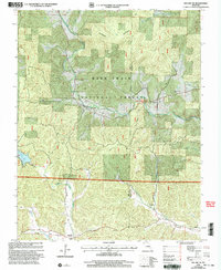
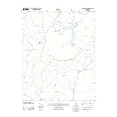
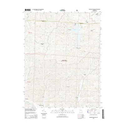
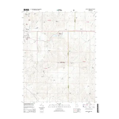
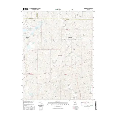
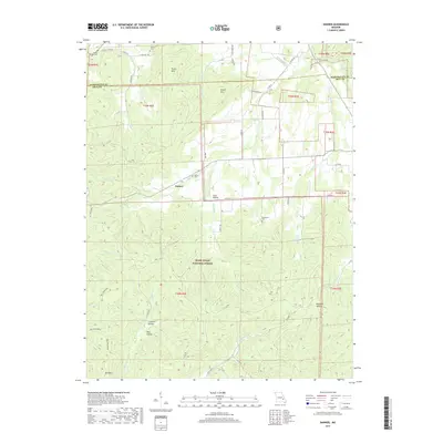
Maxwells Mill sits on the upper reaches of the Black River in this detailed look at a remote corner of the Missouri Ozarks. Surveyed in the mid-1920s, the landscape is defined by the steep ridges of Kaolin Mountain and Black River Mountain, where small rural communities are clustered along narrow valley floors. The map records a dense network of local institutions essential to early 20th-century life, including the Beulah Land Church and a dozen rural schoolhouses such as Montana School and Lower Imboden School. The presence of the Mountainville Store and small settlements like Redmondville and Edgehill reflect a period of decentralized trade before the consolidation of rural infrastructure. Waterways like Strother Creek and Huzzah Creek carve through the heavily forested terrain of the Clark National Forest, illustrating the geographic isolation that shaped these Ozark communities.
Find a feature on this map
65 named features on this map. Tap any name to fly to it.
Don’t see what you’re looking for? This feature index may not catch every label — zoom into the map to look around manually.
Map Details
Editions of this 1924 Edgehill Map
This is the sole edition of this map. No revisions or reprints were ever made.
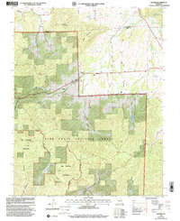
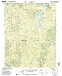
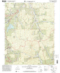
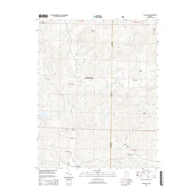
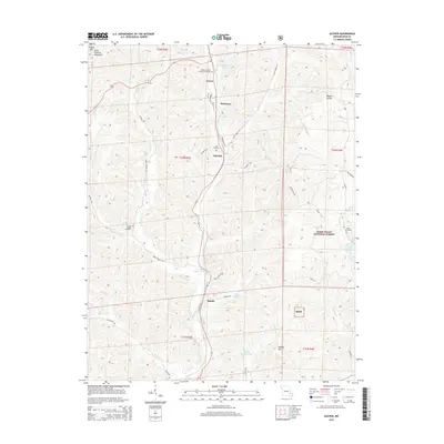
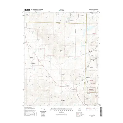
Historical Maps of Maxwells Mill Through Time
48 maps found
1924 Edgehill
Iron County, MO
1926 Edgehill
Iron County, MO
1967 Viburnum East
Iron County, MO
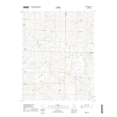
1968 Banner
Iron County, MO
1968 Brunot
Iron County, MO
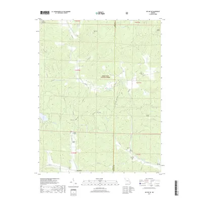
1968 Des Arc NE
Iron County, MO
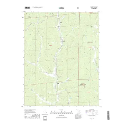
1968 Glover
Iron County, MO
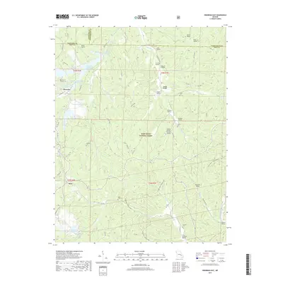
1968 Graniteville
Iron County, MO
1968 Johnson Mountain
Iron County, MO
1968 Lake Killarney
Iron County, MO
1999 Banner
Iron County, MO
1999 Johnson Mountain
Iron County, MO
1999 Viburnum East
Iron County, MO
2000 Des Arc NE
Iron County, MO
2000 Glover
Iron County, MO
2000 Lake Killarney
Iron County, MO
2011 Banner
Iron County, MO
2011 Brunot
Iron County, MO
2011 Des Arc NE
Iron County, MO
2011 Glover
Iron County, MO
2011 Graniteville
Iron County, MO
2011 Johnson Mountain
Iron County, MO
2011 Lake Killarney
Iron County, MO
2011 Viburnum East
Iron County, MO
2015 Banner
Iron County, MO
2015 Brunot
Iron County, MO
2015 Des Arc NE
Iron County, MO
2015 Glover
Iron County, MO
2015 Graniteville
Iron County, MO
2015 Johnson Mountain
Iron County, MO
2015 Lake Killarney
Iron County, MO
2015 Viburnum East
Iron County, MO
2017 Banner
Iron County, MO
2017 Brunot
Iron County, MO
2017 Des Arc NE
Iron County, MO
2017 Glover
Iron County, MO
2017 Graniteville
Iron County, MO
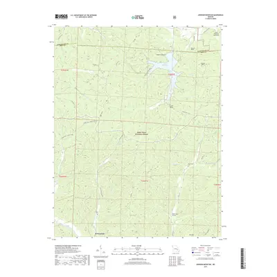
2017 Johnson Mountain
Iron County, MO
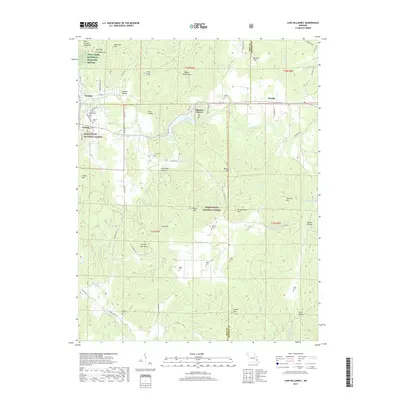
2017 Lake Killarney
Iron County, MO
2017 Viburnum East
Iron County, MO
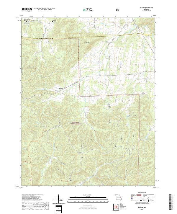
2021 Banner
Iron County, MO
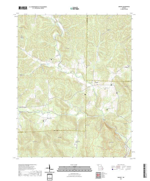
2021 Brunot
Iron County, MO
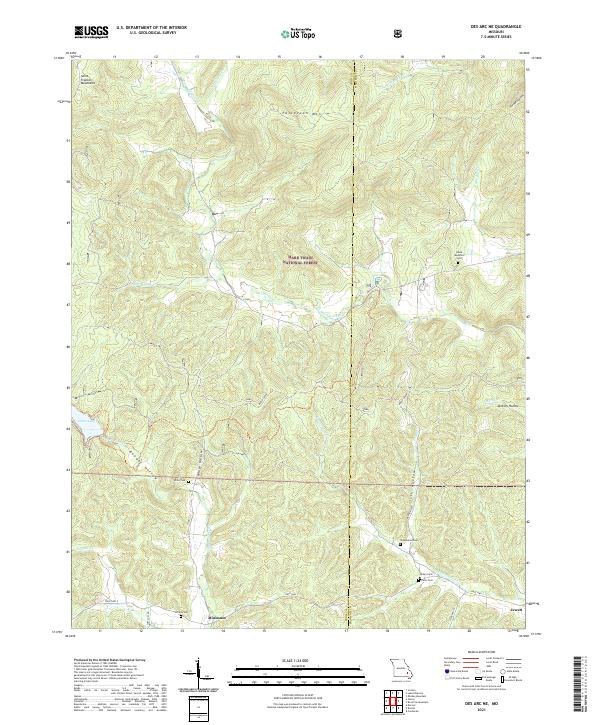
2021 Des Arc NE
Iron County, MO
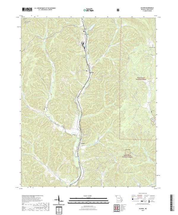
2021 Glover
Iron County, MO
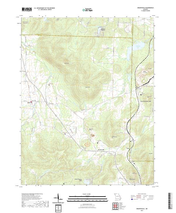
2021 Graniteville
Iron County, MO
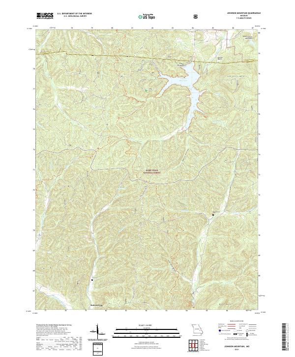
2021 Johnson Mountain
Iron County, MO
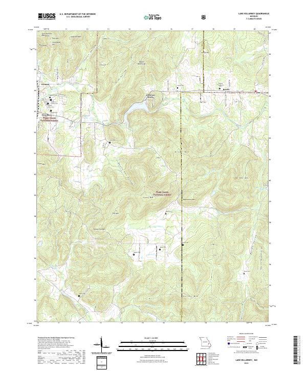
2021 Lake Killarney
Iron County, MO
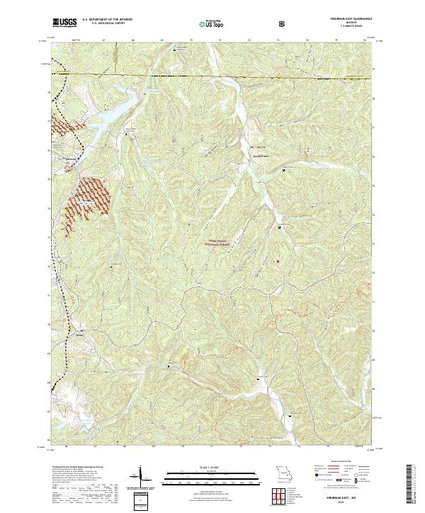
2021 Viburnum East
Iron County, MO