
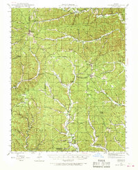
1944 Map of Corridon
USGS Topo · Published 1963About this map
Bunker stands as the primary hub in this portion of the Ozarks during the mid-1940s, situated near the intersection of the Dent and Reynolds County line. The landscape is defined by the winding paths of Logan Creek and Bee Fork, which carve through a dense network of timberland within the Clark National Forest. Settlement patterns follow the hollows and ridge-lines, with clusters of civic life anchored by small schools like Black Hill Sch and Sutterfield Sch.
Find a feature on this map
85 named features on this map. Tap any name to fly to it.
Don’t see what you’re looking for? This feature index may not catch every label — zoom into the map to look around manually.
Map Details
Editions of this 1944 Corridon Map
2 editions found
Other maps of this area

1915 · Eminence
USGS Topo · 1:62,500

1917 · Eminence
USGS Topo · 1:62,500

1924 · Edgehill
USGS Topo · 1:62,500

1926 · Edgehill
USGS Topo · 1:62,500

1928 · Cardareva
USGS Topo · 1:62,500

1941 · Stone Hill
USGS Topo · 1:62,500

1943 · Ellington
USGS Topo · 1:62,500

1943 · Lesterville
USGS Topo · 1:62,500

1943 · Boss
USGS Topo · 1:62,500

1945 · Ellington
USGS Topo · 1:62,500