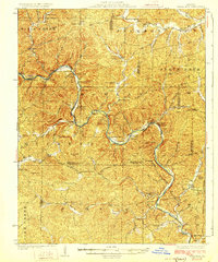
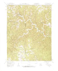
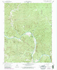
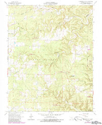
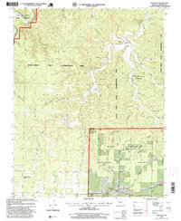
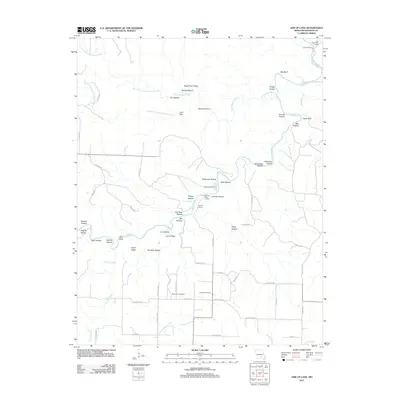
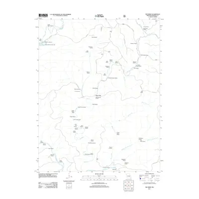
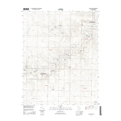
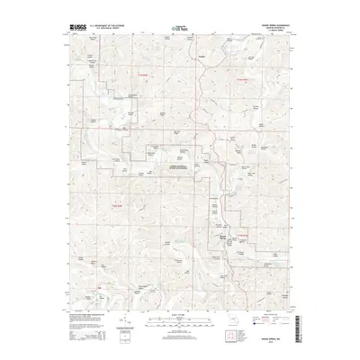
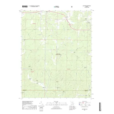
1928 Map of Cardareva
USGS Topo · Published 1928About this map
The Current River carves a winding path through this 1920s Ozark landscape, serving as the central artery for a region defined by its isolated schools and river crossings. Small communities like Deslet, Red Rock, and Exchange are scattered throughout the hills, connected by a network of river fords including Powder Mill Ford, Larkin Ford, and Cardareva Ford. The reliance on water resources is evident in the naming of local landmarks such as Blue Spring and Sandfield Ford.
Find a feature on this map
88 named features on this map. Tap any name to fly to it.
Don’t see what you’re looking for? This feature index may not catch every label — zoom into the map to look around manually.
Map Details
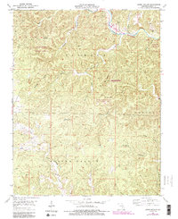
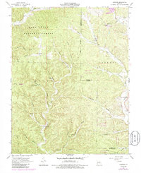
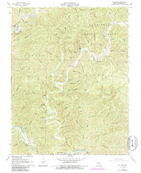
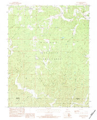
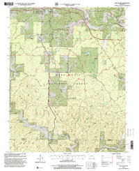
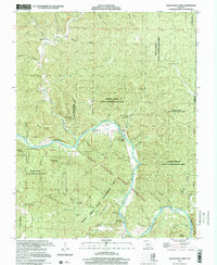
Editions of this 1928 Cardareva Map
2 editions found
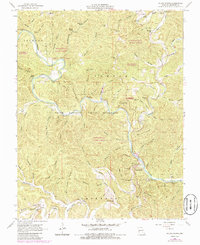
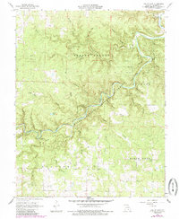
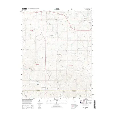
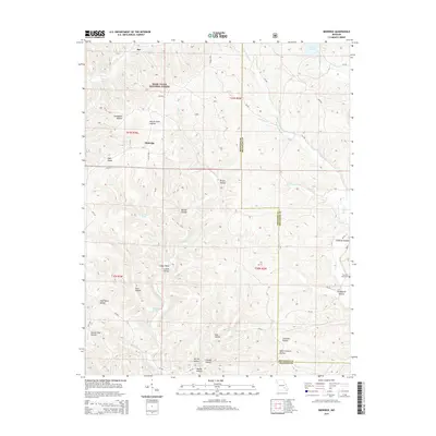
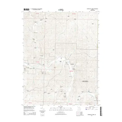
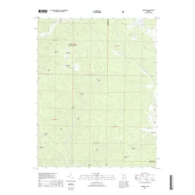
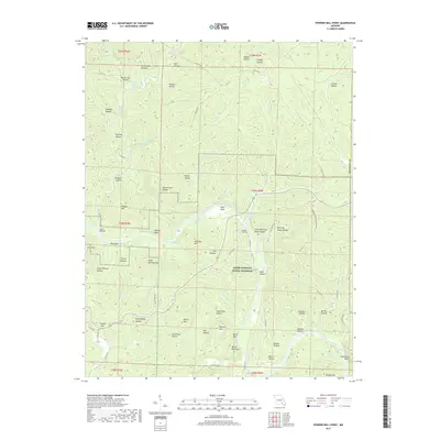
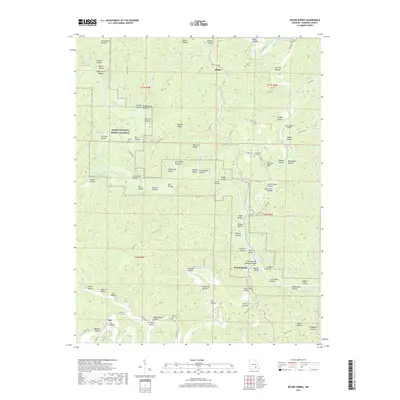
Historical Maps of Van Buren Through Time
61 maps found
1928 Cardareva
Shannon County, MO
1932 Cedar Grove
Shannon County, MO
1945 Round Spring
Shannon County, MO

1947 Sinkin
Shannon County, MO

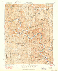
1949 Cardareva
Shannon County, MO

1949 Round Spring
Shannon County, MO
1951 Cedargrove
Shannon County, MO
1951 Lewis Hollow
Shannon County, MO
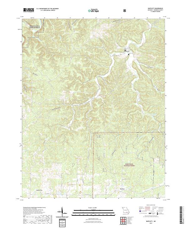
1964 Bartlett
Shannon County, MO
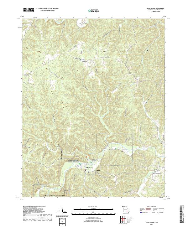
1965 Alley Spring
Shannon County, MO
1965 Powder Mill Ferry
Shannon County, MO
1966 Midridge
Shannon County, MO
1967 Round Spring
Shannon County, MO
1968 Jam Up Cave
Shannon County, MO
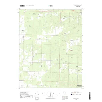
1968 Summersville NE
Shannon County, MO
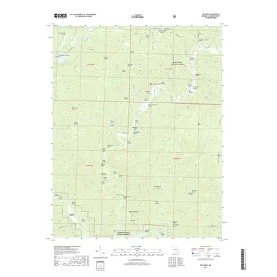
1968 The Sinks
Shannon County, MO
1983 Low Wassie
Shannon County, MO
1986 Spring Valley
Shannon County, MO
1997 Bartlett
Shannon County, MO
1997 Low Wassie
Shannon County, MO
1997 Powder Mill Ferry
Shannon County, MO

2011 Alley Spring
Shannon County, MO
2011 Bartlett
Shannon County, MO
2011 Jam Up Cave
Shannon County, MO

2011 Lewis Hollow
Shannon County, MO
2011 Powder Mill Ferry
Shannon County, MO
2011 Round Spring
Shannon County, MO
2011 Summersville NE
Shannon County, MO
2011 The Sinks
Shannon County, MO
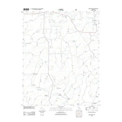
2012 Low Wassie
Shannon County, MO
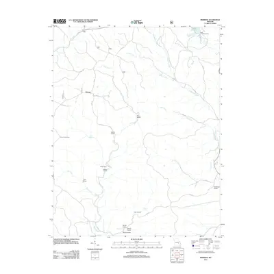
2012 Midridge
Shannon County, MO

2015 Alley Spring
Shannon County, MO
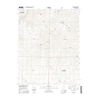
2015 Bartlett
Shannon County, MO
2015 Jam Up Cave
Shannon County, MO

2015 Lewis Hollow
Shannon County, MO
2015 Low Wassie
Shannon County, MO
2015 Midridge
Shannon County, MO
2015 Powder Mill Ferry
Shannon County, MO
2015 Round Spring
Shannon County, MO

2015 Summersville NE
Shannon County, MO
2015 The Sinks
Shannon County, MO

2017 Alley Spring
Shannon County, MO
2017 Bartlett
Shannon County, MO
2017 Jam Up Cave
Shannon County, MO

2017 Lewis Hollow
Shannon County, MO
2017 Low Wassie
Shannon County, MO
2017 Midridge
Shannon County, MO
2017 Powder Mill Ferry
Shannon County, MO
2017 Round Spring
Shannon County, MO
2017 Summersville NE
Shannon County, MO
2017 The Sinks
Shannon County, MO
2021 Alley Spring
Shannon County, MO
2021 Bartlett
Shannon County, MO
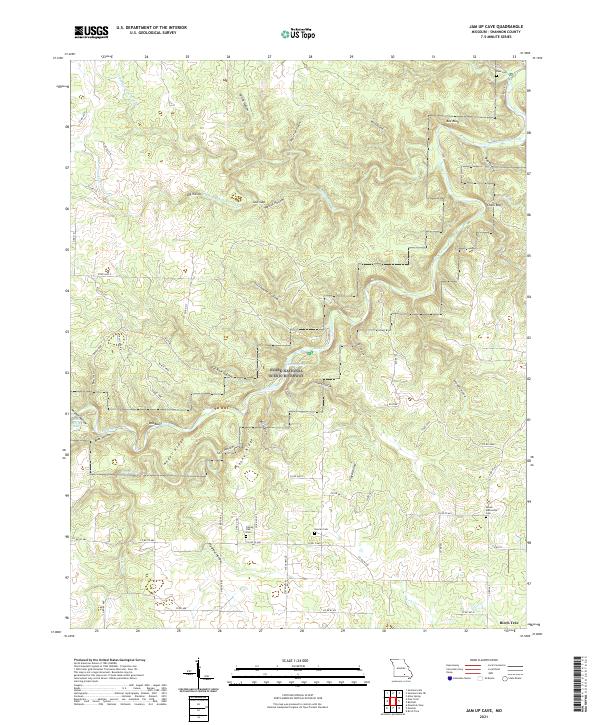
2021 Jam Up Cave
Shannon County, MO
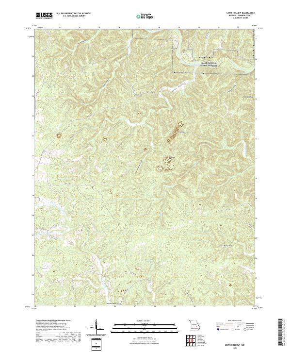
2021 Lewis Hollow
Shannon County, MO
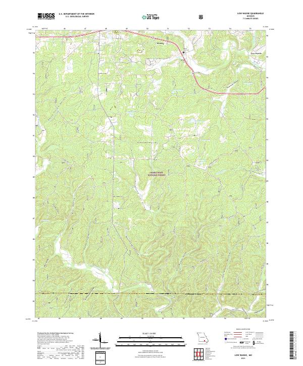
2021 Low Wassie
Shannon County, MO
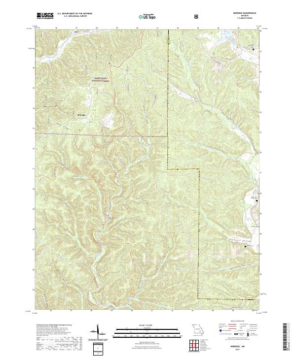
2021 Midridge
Shannon County, MO
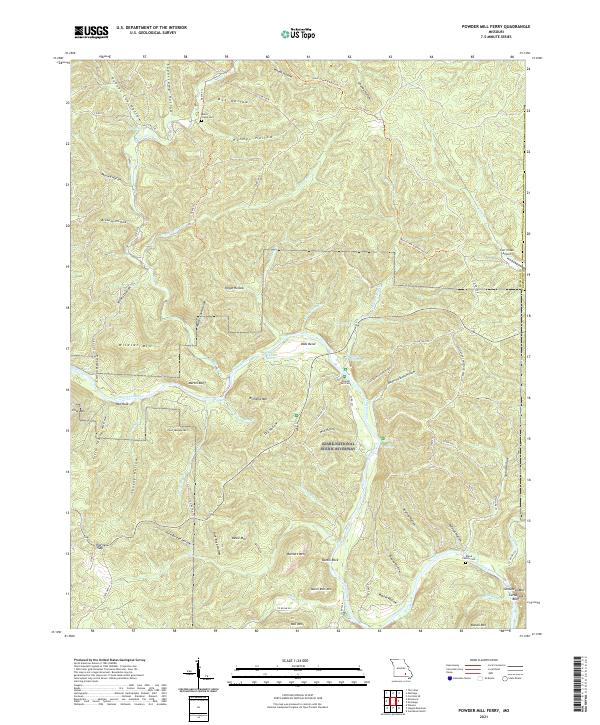
2021 Powder Mill Ferry
Shannon County, MO
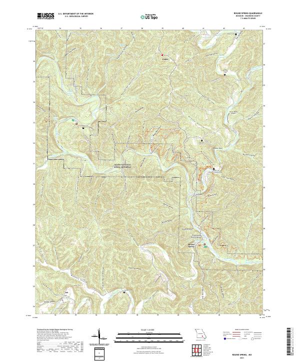
2021 Round Spring
Shannon County, MO
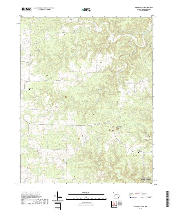
2021 Summersville NE
Shannon County, MO
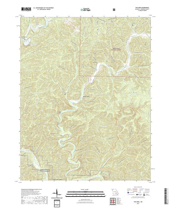
2021 The Sinks
Shannon County, MO