
1903 Map of Sullivan
USGS Topo · Published 1903About this map
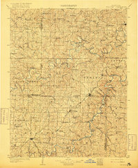
The St. Louis and San Francisco railroad cuts a diagonal path through this turn-of-the-century landscape, linking timbered ridges and river valleys at the junction of Franklin, Gasconade, and Crawford counties. This 1899 survey documents the region before modern highway development, showing the vital role of the Bourbeuse River and Meramec River in shaping local commerce and settlement patterns. Numerous river crossings, such as Hughes Ford and Burgess Ford, indicate a time when local travel was dictated by seasonal water levels and traditional river access points.
Find a feature on this map
111 named features on this map. Tap any name to fly to it.
Don’t see what you’re looking for? This feature index may not catch every label — zoom into the map to look around manually.
Map Details
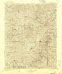
Editions of this 1903 Sullivan Map
3 editions found
Other maps of this area

1890 · Hermann
USGS Topo · 1:125,000

1890 · Fulton
USGS Topo · 1:125,000

1901 · De Soto
USGS Topo · 1:125,000

1903 · O'Fallon
USGS Topo · 1:125,000

1906 · Potosi
USGS Topo · 1:62,500

1928 · Meramec Spring
USGS Topo · 1:62,500

1932 · Steelville
USGS Topo · 1:48,000

1933 · Steelville
USGS Topo · 1:62,500

1934 · Bland
USGS Topo · 1:62,500

1934 · Meramec State Park
USGS Topo · 1:24,000