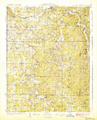
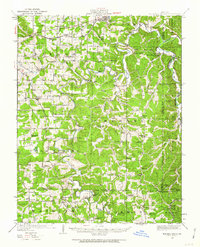
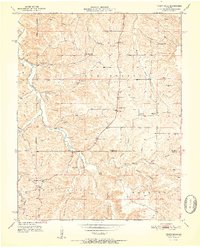
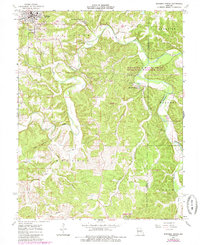
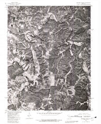
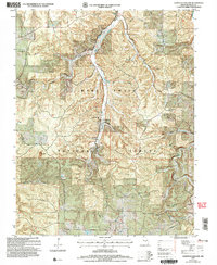
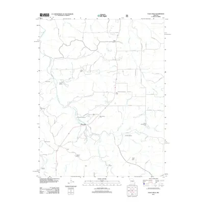
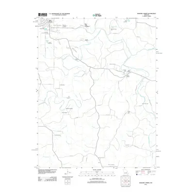
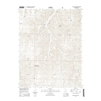
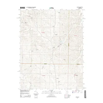
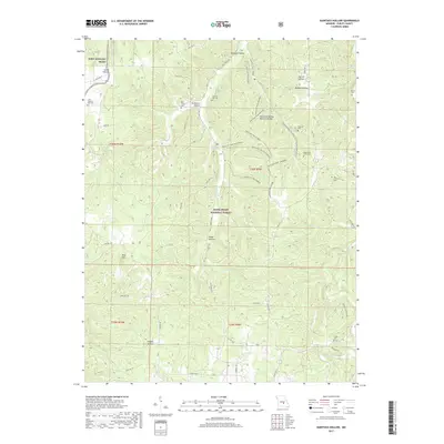
1928 Map of Meramec Spring
USGS Topo · Published 1928About this map
The St Louis San Francisco RR cuts through the northern landscape of this 1920s survey, connecting the settlement of St James to the rail network as it passes through the township of Dillon. The topography is defined by the winding course of the Meramec River and its major source, Meramec Spring, which anchors a complex system of drainage including the Dry Fork and Little Dry Fork. This era shows a densely settled rural society where the landscape is peppered with one-room schools like Flat Grove School, Coffman School, and Zion Hill School, reflecting a period before the consolidation of rural education districts.
Find a feature on this map
75 named features on this map. Tap any name to fly to it.
Don’t see what you’re looking for? This feature index may not catch every label — zoom into the map to look around manually.
Map Details
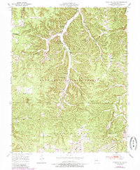
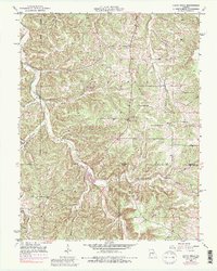
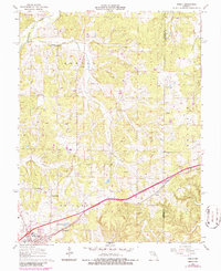
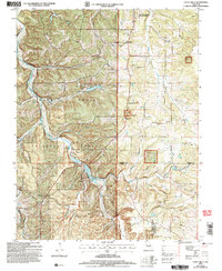
Editions of this 1928 Meramec Spring Map
3 editions found
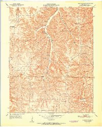
Historical Maps of Rolla Through Time
53 maps found
1928 Meramec Spring
Phelps County, MO

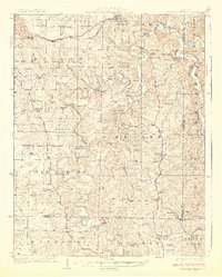
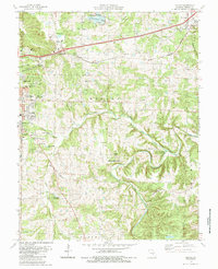
1934 Redbird
Phelps County, MO
1938 Redbird
Phelps County, MO
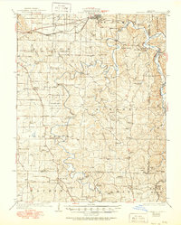
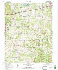
1949 Meramec Spring
Phelps County, MO
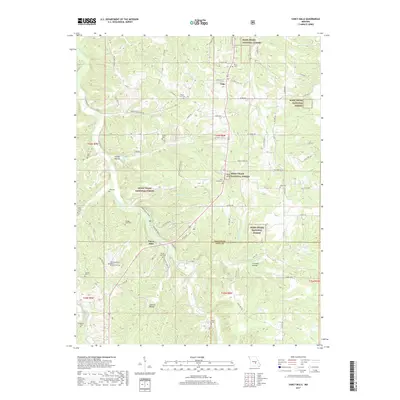
1950 Kaintuck Hollow
Phelps County, MO
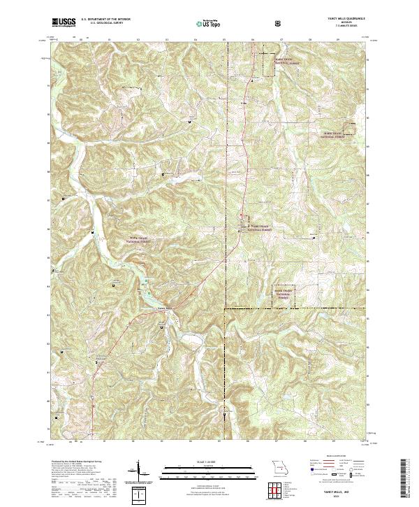
1950 Yancy Mills
Phelps County, MO
1951 Kaintuck Hollow
Phelps County, MO
1951 Yancy Mills
Phelps County, MO
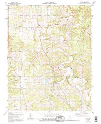
1954 Flat
Phelps County, MO
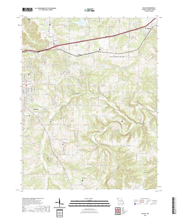
1963 Dillon
Phelps County, MO
1963 Lecoma
Phelps County, MO
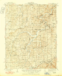
1963 Maramec Spring
Phelps County, MO
1963 Rosati
Phelps County, MO
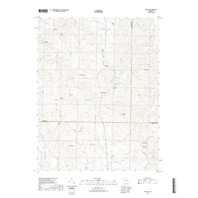
1963 Seaton
Phelps County, MO
1980 Dillon
Phelps County, MO
1980 Maramec Spring
Phelps County, MO
1985 Dillon
Phelps County, MO
1992 Dillon
Phelps County, MO
1992 Lecoma
Phelps County, MO
2004 Kaintuck Hollow
Phelps County, MO
2004 Yancy Mills
Phelps County, MO
2011 Kaintuck Hollow
Phelps County, MO
2011 Seaton
Phelps County, MO
2011 Yancy Mills
Phelps County, MO
2012 Dillon
Phelps County, MO
2012 Flat
Phelps County, MO
2012 Lecoma
Phelps County, MO
2012 Maramec Spring
Phelps County, MO
2012 Rosati
Phelps County, MO
2015 Dillon
Phelps County, MO
2015 Flat
Phelps County, MO
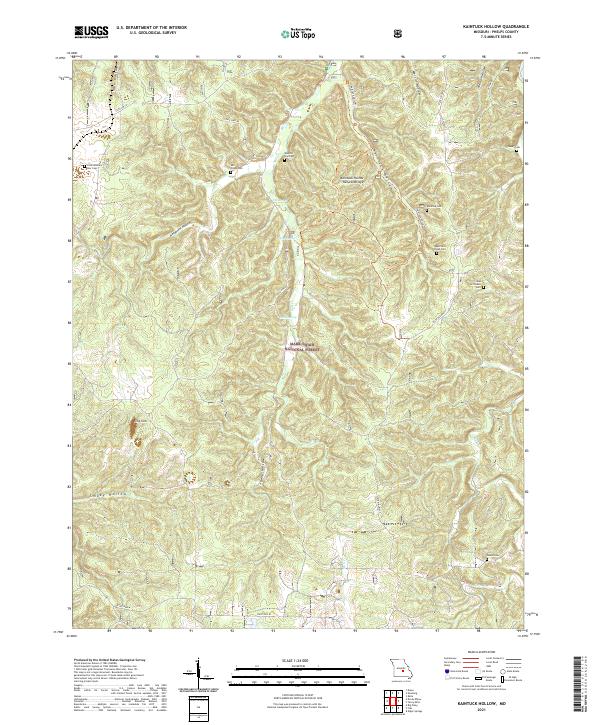
2015 Kaintuck Hollow
Phelps County, MO
2015 Lecoma
Phelps County, MO
2015 Maramec Spring
Phelps County, MO
2015 Rosati
Phelps County, MO
2015 Seaton
Phelps County, MO
2015 Yancy Mills
Phelps County, MO
2017 Dillon
Phelps County, MO
2017 Flat
Phelps County, MO
2017 Kaintuck Hollow
Phelps County, MO
2017 Lecoma
Phelps County, MO
2017 Maramec Spring
Phelps County, MO
2017 Rosati
Phelps County, MO
2017 Seaton
Phelps County, MO
2017 Yancy Mills
Phelps County, MO
2021 Dillon
Phelps County, MO

2021 Flat
Phelps County, MO
2021 Kaintuck Hollow
Phelps County, MO
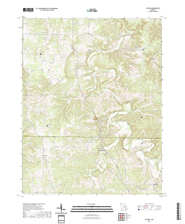
2021 Lecoma
Phelps County, MO
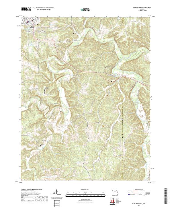
2021 Maramec Spring
Phelps County, MO
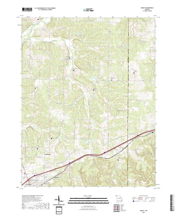
2021 Rosati
Phelps County, MO
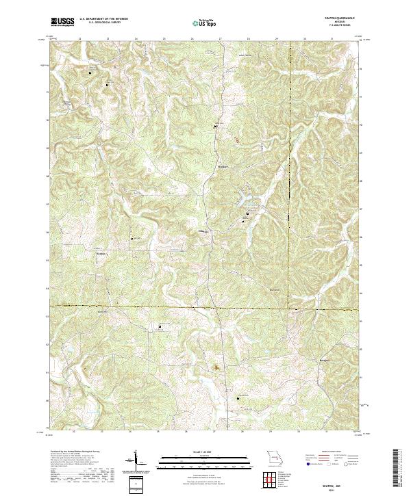
2021 Seaton
Phelps County, MO
2021 Yancy Mills
Phelps County, MO