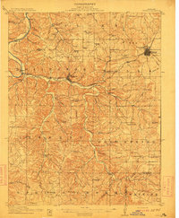
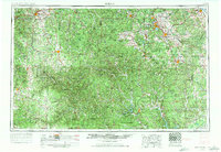
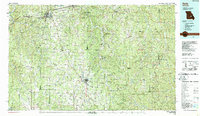
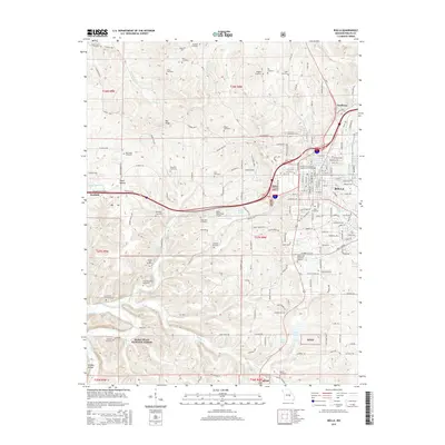
1912 Map of Rolla
USGS Topo · Published 1912About this map
Rolla serves as the focal point for this survey of the northern Ozark Highlands, where the St Louis and San Francisco railroad cuts a vital path through the winding valleys. The landscape is defined by the steep relief of Miller Ridge and the Pea Ridge, which separate the drainage of the Gasconade River from the Little Piney Creek system. The presence of the historic Wire Road crossing the terrain reflects the importance of overland transit before the turn of the century.
Find a feature on this map
68 named features on this map. Tap any name to fly to it.
Don’t see what you’re looking for? This feature index may not catch every label — zoom into the map to look around manually.
Map Details
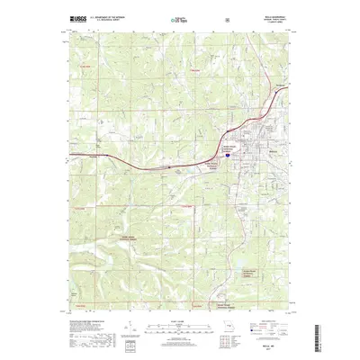
Editions of this 1912 Rolla Map
2 editions found
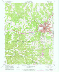
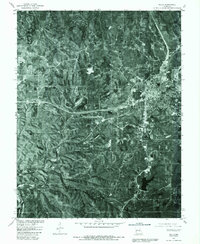
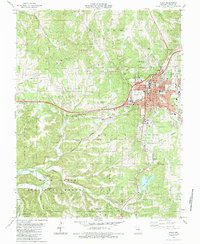
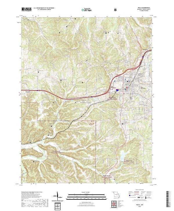
Historical Maps of Rolla Through Time
22 maps found
1912 Rolla
Phelps County, MO

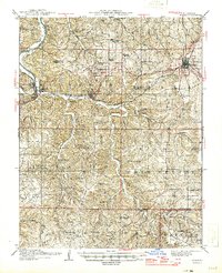
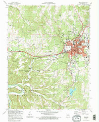
1949 Rolla
Phelps County, MO
1951 Rolla
Phelps County, MO
1951 Rolla
Phelps County, MO

1953 Rolla
Phelps County, MO
1954 Rolla
Phelps County, MO

1958 Rolla
Phelps County, MO

1959 Rolla
Phelps County, MO

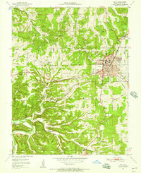
1960 Rolla
Phelps County, MO
1963 Rolla
Phelps County, MO

1966 Rolla
Phelps County, MO

1971 Rolla
Phelps County, MO
1980 Rolla
Phelps County, MO
1985 Rolla
Phelps County, MO
1986 Rolla
Phelps County, MO

1989 Rolla
Phelps County, MO
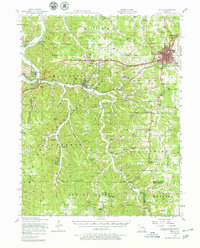
1992 Rolla
Phelps County, MO
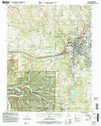
2004 Rolla
Phelps County, MO
2013 Rolla
Phelps County, MO
2015 Rolla
Phelps County, MO
2017 Rolla
Phelps County, MO
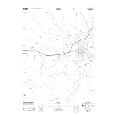
2021 Rolla
Phelps County, MO