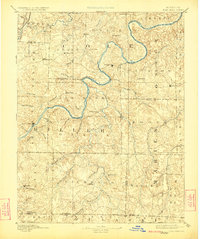
1888 Map of Tuscumbia
USGS Topo · Published 1888About this map
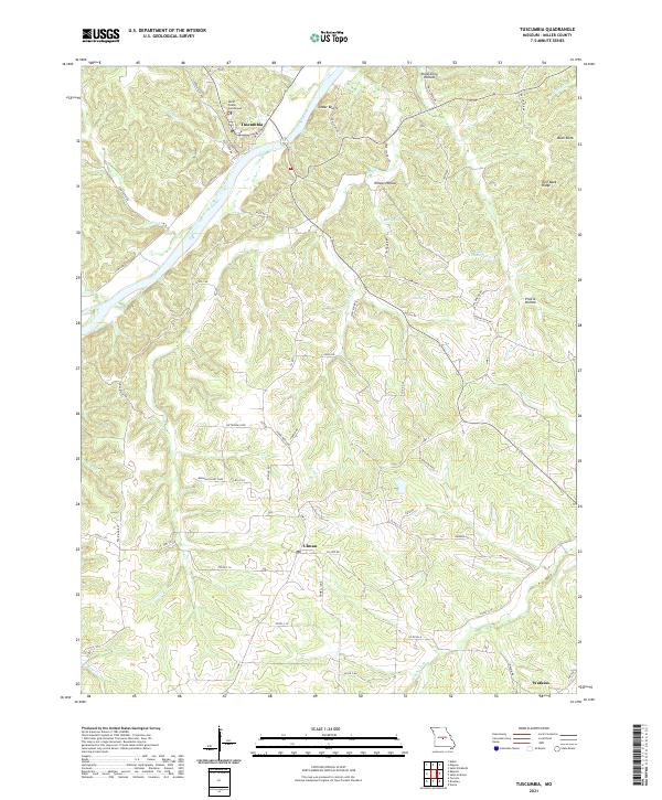
Tuscumbia serves as a central anchor along the winding Osage River in this late nineteenth-century survey. The landscape is defined by the tight meanders of the Osage and the Moreau River to the north, creating a complex drainage system of named creeks like Big Tavern Creek and Jim Henry Creek. These waterways dictated the placement of early settlements, with communities such as St. Elizabeth, St. Thomas, and Marys Home established on the high ground between the river's deep loops. Further south, the terrain transitions toward the Ozark foothills, where Iberia and Brumley mark the upland areas. The map reveals a network of rural post offices and small villages, including Hickory Hill and Spring Garden, connected by early road systems before the arrival of modern highways, illustrating the localized economy of central Missouri during the 1880s.
Find a feature on this map
61 named features on this map. Tap any name to fly to it.
Don’t see what you’re looking for? This feature index may not catch every label — zoom into the map to look around manually.
Map Details
Editions of this 1888 Tuscumbia Map
This is the sole edition of this map. No revisions or reprints were ever made.
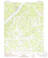
Historical Maps of Dixon Through Time
7 maps found