
1893 Map of Versailles
USGS Topo · Published 1893About this map
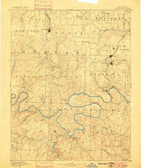
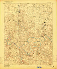
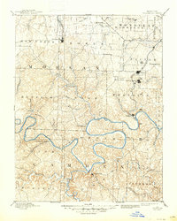
Versailles stands as the primary railhead in the late 19th century, serving as the terminus for a branch of the Missouri Pacific Railroad. This 1880s survey captures a landscape defined by the deep, winding meanders of the Osage River and its major tributaries like the Niangua River, long before the creation of modern reservoirs. The settlement pattern reflects a reliance on river navigation and early industrial sites, notably the Osage Iron Works and several milling operations such as Gravois Mills and Mill Creek. To the east, the rising town of Eldon and the mineral waters of Aurora Springs indicate a shift toward rail-based commerce and tourism. Local history is preserved through now-obscure landings and rural centers like Bagnell, Proctor, and Linn Creek, providing a clear look at Central Missouri's topography and river-based economy during the post-Civil War era.
Find a feature on this map
66 named features on this map. Tap any name to fly to it.
Don’t see what you’re looking for? This feature index may not catch every label — zoom into the map to look around manually.
Map Details
Editions of this 1893 Versailles Map
4 editions found
Other maps of this area

1884 · Bolivar
USGS Topo · 1:125,000

1886 · Jefferson City
USGS Topo · 1:125,000

1887 · Sedalia
USGS Topo · 1:125,000

1887 · Warsaw
USGS Topo · 1:125,000

1888 · Versailles
USGS Topo · 1:125,000

1888 · Tuscumbia
USGS Topo · 1:125,000

1888 · Boonville
USGS Topo · 1:125,000

1892 · Bolivar
USGS Topo · 1:125,000

1894 · Warsaw
USGS Topo · 1:125,000

1894 · Tuscumbia
USGS Topo · 1:125,000