
1892 Map of Bolivar
USGS Topo · Published 1898About this map
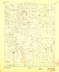
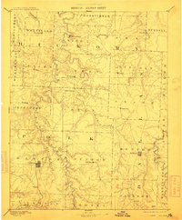
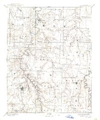
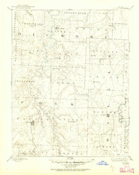
Bolivar and Buffalo anchor this 1880s survey of west-central Missouri, revealing a landscape defined by the winding drainages of the Pomme de Terre River and the Niangua River. This reconnaissance work by R.U. Goode depicts the region's early settlement pattern, where small hubs like Hermitage and Urbana served as vital centers for the surrounding rural townships. The map records several early industrial and community landmarks, including Parks Mill on the Little Niangua River and isolated post offices such as Charity and Greasy.
Find a feature on this map
56 named features on this map. Tap any name to fly to it.
Don’t see what you’re looking for? This feature index may not catch every label — zoom into the map to look around manually.
Map Details
Editions of this 1892 Bolivar Map
5 editions found
Other maps of this area

1884 · Springfield
USGS Topo · 1:125,000

1884 · Bolivar
USGS Topo · 1:125,000

1886 · Stockton
USGS Topo · 1:125,000

1886 · Greenfield
USGS Topo · 1:125,000

1886 · Springfield
USGS Topo · 1:125,000

1887 · Clinton
USGS Topo · 1:125,000

1887 · Warsaw
USGS Topo · 1:125,000

1888 · Versailles
USGS Topo · 1:125,000

1888 · Greenfield
USGS Topo · 1:125,000

1893 · Versailles
USGS Topo · 1:125,000