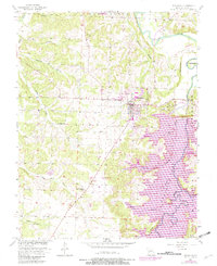
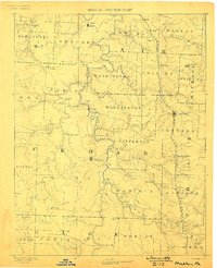
1886 Map of Stockton
USGS Topo · Published 1886About this map
The Stockton township and its surrounding river valleys are captured here in the mid-1880s, revealing a landscape defined by the winding course of the Sac River and its major tributary, the Little Sac River. This period shows the rural development of Cedar, Saint Clair, and Hickory counties before modern reservoirs transformed the drainage basins. The Kansas City Clinton and Springfield R. R. cuts through the eastern portion of the map, anchoring rail-dependent settlements like Humansville and Fair Play. Away from the tracks, the economy remains tied to the water, evidenced by Johnson's Mill on the lower Sac. Dozens of small post offices and communities such as Jericho, Roscoe, and Dunnegan Springs are shown along the complex network of creeks including Turkey Creek and Horse Creek, providing a detailed look at the settlement patterns of southwest Missouri during this era of agricultural expansion.
Find a feature on this map
60 named features on this map. Tap any name to fly to it.
Don’t see what you’re looking for? This feature index may not catch every label — zoom into the map to look around manually.
Map Details
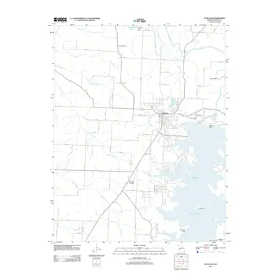
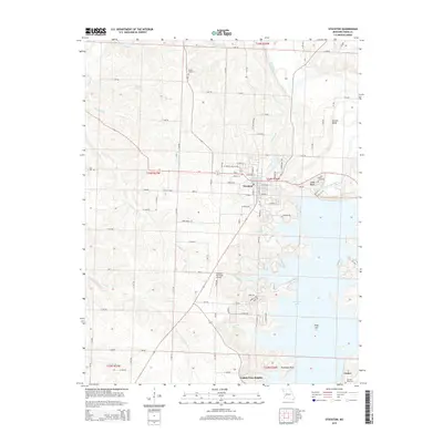
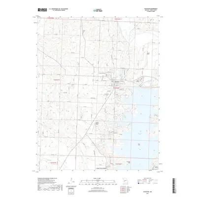
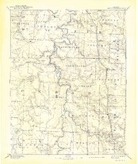
Editions of this 1886 Stockton Map
3 editions found
Historical Maps of El Dorado Springs Through Time
6 maps found