
1886 Map of Greenfield
USGS Topo · Published 1886About this map
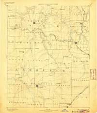
Greenfield and Mount Vernon serve as the primary anchors of this late-nineteenth-century survey of southwest Missouri. The landscape is defined by the headwaters of the Sac River and Spring River, where early settlements and post offices like Paris Springs, Lawrenceburg, and Dadeville are scattered across the plateau. The expansion of rail infrastructure is evident, with the Kansas City Fort Scott and Gulf Railroad and the Kansas City Clinton and Springfield Railroad cutting through the terrain to connect towns like Lockwood and Ash Grove.
Find a feature on this map
75 named features on this map. Tap any name to fly to it.
Don’t see what you’re looking for? This feature index may not catch every label — zoom into the map to look around manually.
Map Details
Editions of this 1886 Greenfield Map
4 editions found
Other maps of this area

1884 · Springfield
USGS Topo · 1:125,000

1884 · Bolivar
USGS Topo · 1:125,000

1886 · Nevada
USGS Topo · 1:125,000

1886 · Stockton
USGS Topo · 1:125,000

1886 · Carthage
USGS Topo · 1:125,000

1886 · Springfield
USGS Topo · 1:125,000

1888 · Greenfield
USGS Topo · 1:125,000

1892 · Bolivar
USGS Topo · 1:125,000

1894 · Nevada
USGS Topo · 1:125,000

1894 · Carthage
USGS Topo · 1:125,000