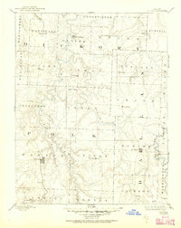
1884 Map of Bolivar
USGS Topo · Published 1884About this map
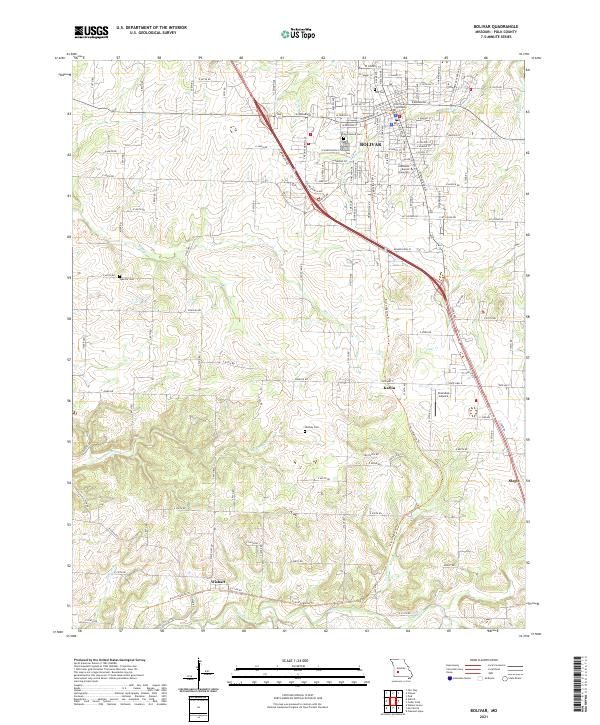
Bolivar and Buffalo serve as the primary hubs in this late nineteenth-century portrait of southwestern Missouri, which encompasses parts of Polk, Dallas, and Hickory counties. The landscape is defined by the winding course of the Pomme De Terre River and the Niangua River, which carved intricate drainage patterns through the plateau before the era of modern reservoirs. Smaller settlements like Hermitage, Urbana, and Wheatland are shown in their early configurations, connected by a network of primitive roads that follow the high ridges between creek systems.
Find a feature on this map
58 named features on this map. Tap any name to fly to it.
Don’t see what you’re looking for? This feature index may not catch every label — zoom into the map to look around manually.
Map Details
Editions of this 1884 Bolivar Map
This is the sole edition of this map. No revisions or reprints were ever made.
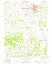
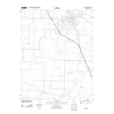
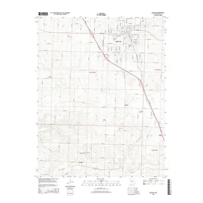
Historical Maps of Bolivar Through Time
8 maps found