
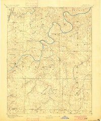
1894 Map of Tuscumbia
USGS Topo · Published 1894About this map
The winding course of the Osage River dominates this Missouri landscape, carving deep meanders through the Ozark foothills during the late nineteenth century. As the county seat of Miller County, Tuscumbia sits on a high bluff overlooking the river, serving as a primary point of river navigation and trade before the widespread expansion of highways. To the north, the Missouri Pacific RR (Lebanon Br) cuts through the terrain near Decatur, signaling the shifting transportation patterns of the era.
Find a feature on this map
68 named features on this map. Tap any name to fly to it.
Don’t see what you’re looking for? This feature index may not catch every label — zoom into the map to look around manually.
Map Details
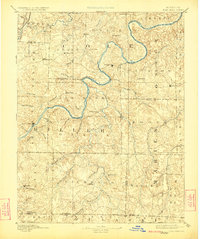
Editions of this 1894 Tuscumbia Map
3 editions found
Other maps of this area

1886 · Jefferson City
USGS Topo · 1:125,000

1888 · Versailles
USGS Topo · 1:125,000

1888 · Tuscumbia
USGS Topo · 1:125,000

1888 · Boonville
USGS Topo · 1:125,000

1890 · Fulton
USGS Topo · 1:125,000

1893 · Versailles
USGS Topo · 1:125,000

1894 · Jefferson City
USGS Topo · 1:125,000

1904 · Eldon
USGS Topo · 1:62,500

1912 · Rolla
USGS Topo · 1:62,500

1932 · Versailles No 4
USGS Topo · 1:48,000