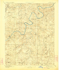
1894 Map of Tuscumbia
USGS Topo · Published 1923About this map
Tuscumbia serves as the focal point for this late nineteenth-century survey, situated along the winding banks of the Osage River. The landscape is defined by the complex drainage systems of the Ozark foothills, where numerous named waterways like Big Tavern Creek and Little Maries Creek carve through the terrain. In the northern reaches, the Missouri Pacific R.R. skirts the boundary of the Moreau watershed near Decatur, signaling the arrival of industrial connectivity to these rural townships.
Find a feature on this map
67 named features on this map. Tap any name to fly to it.
Don’t see what you’re looking for? This feature index may not catch every label — zoom into the map to look around manually.
Map Details
Editions of this 1894 Tuscumbia Map
3 editions found
Other maps of this area

1886 · Jefferson City
USGS Topo · 1:125,000

1888 · Versailles
USGS Topo · 1:125,000

1888 · Tuscumbia
USGS Topo · 1:125,000

1888 · Boonville
USGS Topo · 1:125,000

1890 · Fulton
USGS Topo · 1:125,000

1893 · Versailles
USGS Topo · 1:125,000

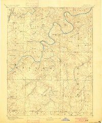
1894 · Tuscumbia
USGS Topo · 1:125,000

1894 · Jefferson City
USGS Topo · 1:125,000

1904 · Eldon
USGS Topo · 1:62,500

1912 · Rolla
USGS Topo · 1:62,500