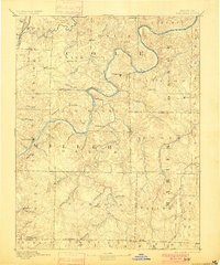
1894 Map of Tuscumbia
USGS Topo · Published 1900About this map
The Osage River carves a deep, serpentine path through the center of this terrain, anchoring a landscape defined by sharp ridges and complex drainage systems at the turn of the century. As the county seat, Tuscumbia serves as a primary hub along the riverbanks, while smaller interior settlements like St Elizabeth, Iberia, and St Thomas are connected by a burgeoning network of wagon roads. The presence of the Missouri Pacific R. R. (Lebanon Br.) in the northwest corner near Decatur and Wardsville indicates the reach of rail industry into these river-cut highlands.
Find a feature on this map
67 named features on this map. Tap any name to fly to it.
Don’t see what you’re looking for? This feature index may not catch every label — zoom into the map to look around manually.
Map Details
Editions of this 1894 Tuscumbia Map
3 editions found
Other maps of this area

1886 · Jefferson City
USGS Topo · 1:125,000

1888 · Versailles
USGS Topo · 1:125,000

1888 · Tuscumbia
USGS Topo · 1:125,000

1888 · Boonville
USGS Topo · 1:125,000

1890 · Fulton
USGS Topo · 1:125,000

1893 · Versailles
USGS Topo · 1:125,000

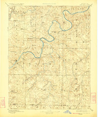
1894 · Tuscumbia
USGS Topo · 1:125,000

1894 · Jefferson City
USGS Topo · 1:125,000

1904 · Eldon
USGS Topo · 1:62,500

1912 · Rolla
USGS Topo · 1:62,500