
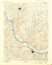
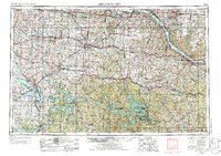
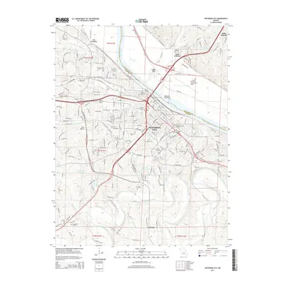
1886 Map of Jefferson City
USGS Topo · Published 1886About this map
Jefferson City and Columbia anchor this late-19th-century landscape, connected by a maturing network of rail and river commerce. The Missouri River bisects the region, its channel surveyed in detail just years prior by the Engineer Corps U.S. Army. Along its banks, small landings and river towns like Providence, Nashville, and Marion serve as local hubs, while inland settlements such as Ashland and New Bloomfield mark the agricultural heart of Boone and Cole counties.
Find a feature on this map
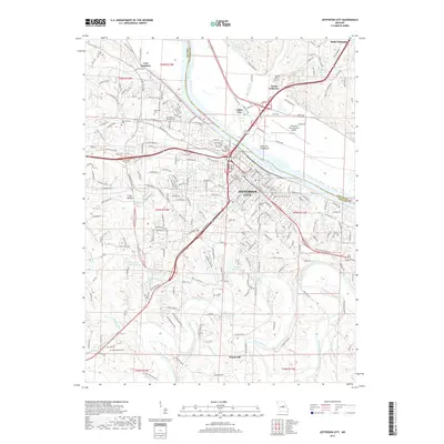
82 named features on this map. Tap any name to fly to it.
Don’t see what you’re looking for? This feature index may not catch every label — zoom into the map to look around manually.
Map Details
Editions of this 1886 Jefferson City Map
This is the sole edition of this map. No revisions or reprints were ever made.
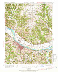
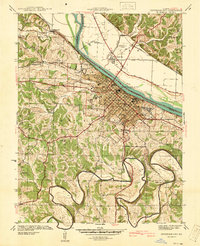
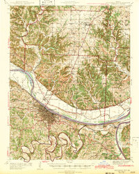
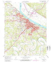
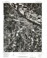
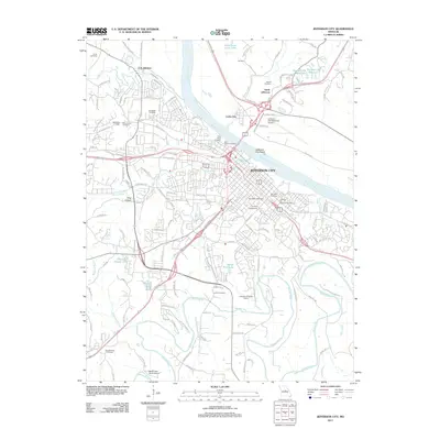
Historical Maps of Columbia Through Time
17 maps found
1886 Jefferson City
Cole County, MO
1894 Jefferson City
Cole County, MO
1939 Jefferson City
Cole County, MO
1939 Jefferson City
Cole County, MO
1942 Jefferson City
Cole County, MO

1947 Jefferson City
Cole County, MO

1954 Jefferson City
Cole County, MO
1955 Jefferson City
Cole County, MO

1958 Jefferson City
Cole County, MO

1959 Jefferson City
Cole County, MO
1967 Jefferson City
Cole County, MO
1980 Jefferson City
Cole County, MO

1982 Jefferson City
Cole County, MO
2011 Jefferson City
Cole County, MO
2015 Jefferson City
Cole County, MO
2017 Jefferson City
Cole County, MO
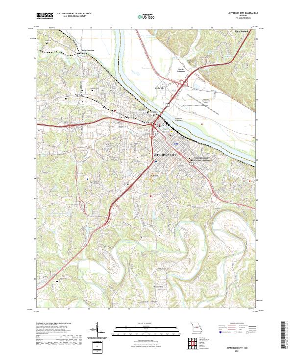
2021 Jefferson City
Cole County, MO