
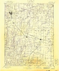
1890 Map of Moberly
USGS Topo · Published 1890About this map
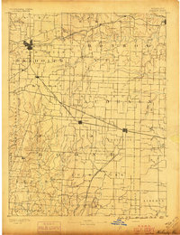
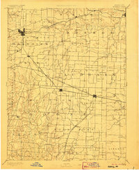
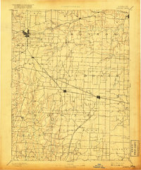
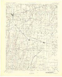
The growing rail hub of Moberly anchors this late nineteenth-century landscape, where a dense network of iron and steel corridors defines the region’s economic life. Three major rail lines converge here: the Missouri Pacific Railroad, the Wabash Railroad, and the Chicago and Alton Railroad. This confluence of transportation turned small prairie outposts into essential freight stops, as seen in the growth of Sturgeon, Centralia, and Renick.
Find a feature on this map
73 named features on this map. Tap any name to fly to it.
Don’t see what you’re looking for? This feature index may not catch every label — zoom into the map to look around manually.
Map Details
Editions of this 1890 Moberly Map
6 editions found
Other maps of this area

1886 · Jefferson City
USGS Topo · 1:125,000

1888 · Boonville
USGS Topo · 1:125,000

1890 · Mexico
USGS Topo · 1:125,000

1890 · Glasgow
USGS Topo · 1:125,000

1890 · Fulton
USGS Topo · 1:125,000

1894 · Jefferson City
USGS Topo · 1:125,000

1903 · Palmyra
USGS Topo · 1:125,000

1908 · Macon
USGS Topo · 1:62,500

1910 · Macon
USGS Topo · 1:62,500

1917 · Sturgeon
USGS Topo · 1:62,500