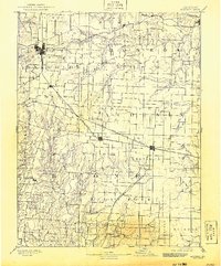
1890 Map of Moberly
USGS Topo · Published 1917About this map
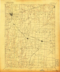
Moberly serves as a major transportation hub in this late 19th-century landscape, where the Wabash Railroad and Missouri Pacific Railroad intersect. The map illustrates the development of North Central Missouri before the turn of the century, showing a network of small agricultural and rail settlements like Renick, Sturgeon, and Centralia that follow the iron paths across the prairie. The terrain is defined by the drainage systems of the Middle Fork Salt River and South Fork of Salt River, which create a complex of creeks and branches including Sugar Creek and Long Branch.
Find a feature on this map
83 named features on this map. Tap any name to fly to it.
Don’t see what you’re looking for? This feature index may not catch every label — zoom into the map to look around manually.
Map Details
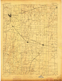
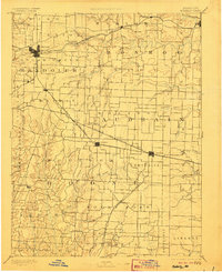
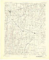
Editions of this 1890 Moberly Map
6 editions found
Other maps of this area

1886 · Jefferson City
USGS Topo · 1:125,000

1888 · Boonville
USGS Topo · 1:125,000

1890 · Mexico
USGS Topo · 1:125,000

1890 · Moberly
USGS Topo · 1:125,000

1890 · Glasgow
USGS Topo · 1:125,000

1890 · Fulton
USGS Topo · 1:125,000

1894 · Jefferson City
USGS Topo · 1:125,000

1903 · Palmyra
USGS Topo · 1:125,000
1908 · Macon
USGS Topo · 1:62,500
1910 · Macon
USGS Topo · 1:62,500