
1890 Map of Glasgow
USGS Topo · Published 1890About this map
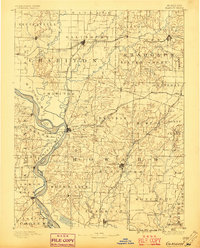
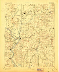
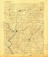
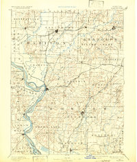
The Missouri River serves as the dominant geographic and economic artery of this central Missouri landscape, winding through a complex of islands such as Harrison Island and Arrow Rock Island. Surveyed in the late 1880s, the map illustrates a region defined by its reliance on river transport and a growing rail network, where the Chicago And Alton Railroad and Wabash Railroad connect established river towns to inland markets. The confluence of the Chariton River with the Missouri creates a low-lying basin north of Glasgow, while the surrounding uplands are dotted with small trade centers like Fayette and Salisbury. Local commerce is evidenced by rural landmarks including Jackman Mills and Whites Store, which anchor the agricultural life of the Missouri bottomlands. Significant early settlements like Arrow Rock and Boonesborough highlight the area's historical depth as part of the Boonslick region during the late nineteenth century.
Find a feature on this map
90 named features on this map. Tap any name to fly to it.
Don’t see what you’re looking for? This feature index may not catch every label — zoom into the map to look around manually.
Map Details
Editions of this 1890 Glasgow Map
5 editions found
Other maps of this area

1886 · Jefferson City
USGS Topo · 1:125,000

1887 · Sedalia
USGS Topo · 1:125,000

1888 · Boonville
USGS Topo · 1:125,000

1890 · Moberly
USGS Topo · 1:125,000

1890 · Marshall
USGS Topo · 1:125,000

1892 · Marshall
USGS Topo · 1:125,000

1894 · Sedalia
USGS Topo · 1:125,000

1894 · Jefferson City
USGS Topo · 1:125,000

1901 · Marshall
USGS Topo · 1:125,000

1908 · Macon
USGS Topo · 1:62,500